A strong winter storm hits the Centro-West and quickly advances to the Nordeste of the Autoridades recommend avoiding unnecessary trips in the morning.
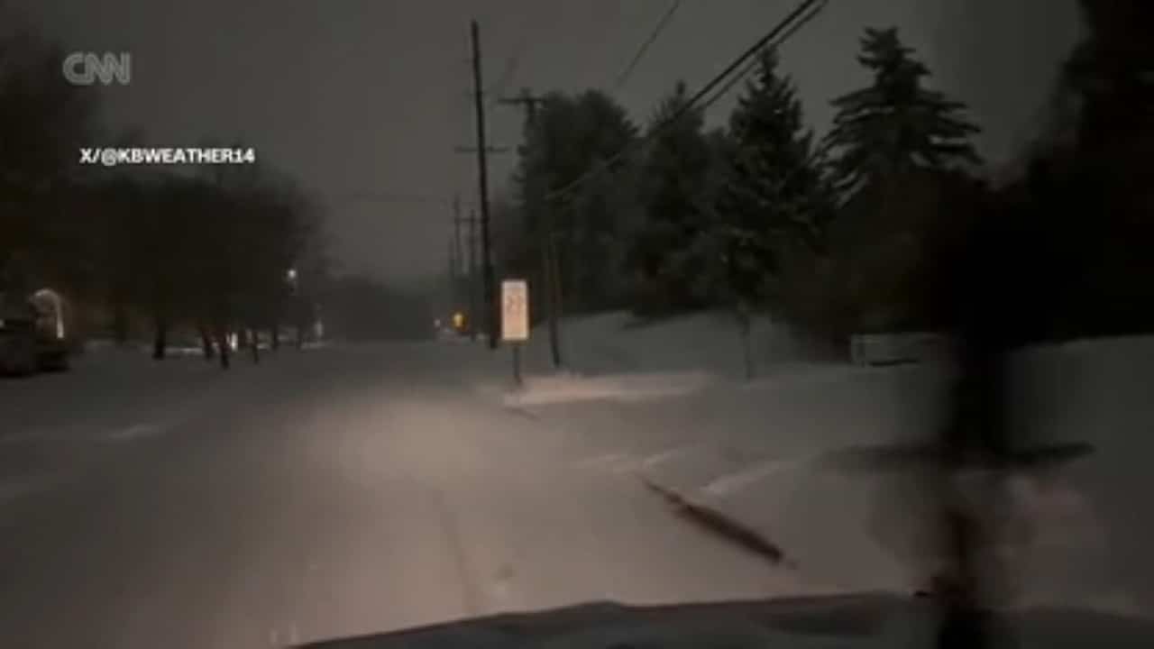
More than 55 million people are under severe winter weather warnings issued by the Serviço Nacional of Meteorologia (NWS). The storm is expected to evolve into a bomb cyclone along the east coast, intensifying winds and precipitation. Cidades like Pittsburgh, Cleveland and Buffalo record slow traffic since the early hours.
Snow Accumulation and Highway Conditions
Departamento of Transportes of Ohio mobilized more than 1,120 teams to clean roads. Trechos of I-71, I-270 and US-23 remain covered in snow in and around Columbus.
Precipitation rates exceed one inch per hour in areas west of Pensilvânia and north of Virgínia Ocidental. Pittsburgh has already accumulated up to 5 cm, with more snow expected until 10 am (Eastern local time).

Regions under greater morning impact
Cleveland and Buffalo experience moderate snow throughout the commute. Precipitation should ease around midday on Buffalo.
In Baltimore and Washington, DC, cold rain predominates, without significant accumulation of snow. Filadélfia records dry weather early in the morning, but rain arrives during peak hours.
In Pensilvânia, PENNDOT images show covered metropolitan highways. Heavy snow coincides with the morning rush, increasing the risk of accidents.
Evolution to bomb cyclone on the coast
The storm intensifies as it moves up Nova Inglaterra, with the potential for strong winds. Filadélfia, Nova York and Boston should only record isolated flakes in the morning.
The transition line between rain and snow is near or northwest of I-95. Áreas to the southeast of the corridor escape relevant accumulation.
Records broken in several cities
St. Louis, at
Houston, at Texas, recorded the lowest maximum temperature for December 1st, at 9°C. Mobile, in Alabama, set a new record for daily precipitation, with 81.8 mm.
Ice warnings in the Apalaches
Parts of Virgínia Ocidental, western Maryland and southwest Pensilvânia face freezing rain. The phenomenon forms layers of ice on bridges and viaducts.
The atmospheric configuration keeps cold air at the surface while warm air passes above. The region of Blue Ridge concentrates the greatest risks until noon.
Recommendations from state authorities
Departamento of Transportes of Ohio asks drivers to give space to cleaning crews. The guidance is clear: anyone who does not need to go out should stay at home.
In Nova Jersey, the governor declared a state of emergency in five northern counties. Escolas in Vermont, New Hampshire and Massachusetts canceled in-person classes.
The storm heads east, maintaining adverse conditions throughout the day. The NWS monitors the possibility of new cold records after the system passes.
