
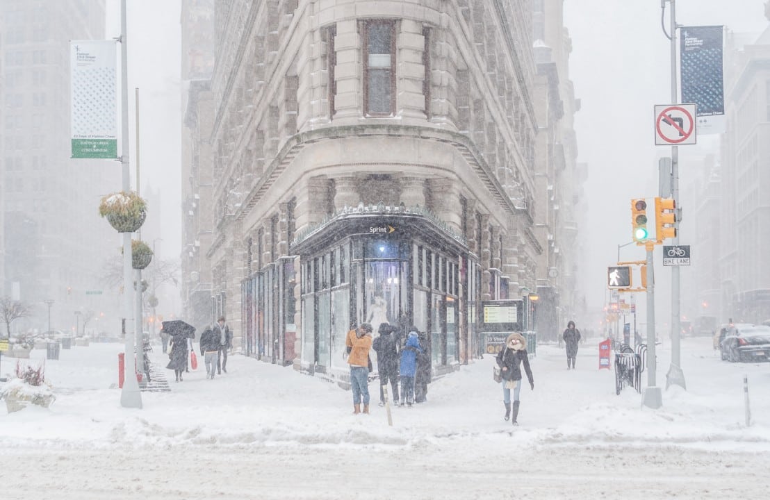
Several schools in Massachusetts have postponed the start of classes this Wednesday, December 3, 2025, due to snow remaining from a previous storm. Serviço Nacional of Meteorologia issued winter weather warnings for regions such as Springfield, Worcester and Lawrence, valid until 7am local time. Autoridades recommend caution on the morning commute due to slippery roads.
The measure affects dozens of public and private districts, prioritizing the safety of students and drivers.
- Districts with a two-hour delay: Worcester Public Schools, Springfield Public Schools.
- Total closures in elevated areas: Fitchburg and Orange.
Forecasts indicate that the day will remain dry after the morning precipitation, but a cold front will arrive on Thursday. Autoridades locations monitor conditions in real time for updates.
Weather alerts in effect
The Serviço Nacional of Meteorologia maintains winter weather warnings for central and western Massachusetts until 7am this Wednesday. Regiões like Barre, Greenfield and Ayer face a winter storm warning due to the possibility of snow squalls.
Officials warn of reduced visibility and ice formation on secondary roads. Motoristas must reduce speed by at least 20 km/h on affected roads.
Residual accumulations range from 3 to 7 inches in counties including Franklin and Berkshire, complicating snow removal.
Impacted districts and measures adopted
Worcester Public Schools announced a two-hour delay in the start of classes, affecting around 25,000 students. The decision came after nighttime inspections revealed accumulation of snow in parking lots and access.
Springfield follows the same protocol, with school buses operating alternate routes to avoid steep sections. Lawrence Public Schools opted for a 90-minute delay, prioritizing neighborhoods with greater exposure to the north wind.
- Other districts with delays: Leominster (two hours), Lunenburg (closed), Narragansett (90-minute delay).
- Affected charter schools: Abby Kelley Foster (closed), Bay Path Regional Vocational (two-hour delay).
Athol-Royalston and Quaboag Regional confirmed full closures due to elevated risks in rural areas.
Wachusett Regional postpones first period, keeping extracurricular activities suspended until noon. Winchendon Public Schools reports delays in ensuring the cleaning of sidewalks and main entrances. Essas actions follow state climate emergency protocols, reviewed annually.
Forecast for the next few days
An arctic front arrives in the state on the afternoon of Thursday, December 4th, bringing snow showers and localized flurries. Temperaturas will fall to lows of -7°C in elevated areas, with highs of 3°C in the east.
Experts predict light accumulations of up to 2 inches at Worcester and Springfield, with no significant impact on classes.
Friday, December 5th, marks the beginning of a colder pattern, with winds of up to 40 km/h increasing the thermal sensation. The weekend remains dry, but with the possibility of night frosts throughout the territory.
Snow Accumulations and Travel Hazards
The center of Massachusetts recorded between 6 and 9 inches of snow on Tuesday, with partial removal by dawn on Wednesday. Western Massachusetts, especially Berkshire County, accumulates 3 to 7 inches, forcing maintenance crews to operate extra shifts.
Major lanes like I-90 are getting a salt treatment, but local roads remain unstable until 9 a.m.
Serviço of Transporte of Massachusetts reports more than 50 incidents of vehicles stopped since midnight, mainly due to skidding. Autoridades issue guidance for the use of mandatory winter tires throughout the state during the period.
Responses from local authorities
City halls in Springfield and Worcester activated community warming centers for vulnerable families during the school delay. Equipes emergency services distribute road safety kits at high traffic points.
In Lawrence, local police increased patrols in school neighborhoods, monitoring conditions in real time via cameras.
Departamento of Educação of Massachusetts coordinates updates via the official app, reaching more than 80% of registered parents. Essas initiatives aim to minimize interruptions, focusing on a gradual return to routines.
Tips for drivers and pedestrians
Drivers should check brakes and wipers before leaving home, especially at peak times between 6am and 8am. Pedestres in urban areas receive recommendations for non-slip footwear and illuminated routes.
- Check alerts in the NWS app for updates by county.
- Maintain a safe distance from operating snow removal vehicles.
- Avoid unnecessary trips to the initial melt.
These precautions reduce snow-related accidents by 30%, according to state data.
Monitoring continues throughout the day, with the possibility of adjusting class end times if new precipitation occurs.
