

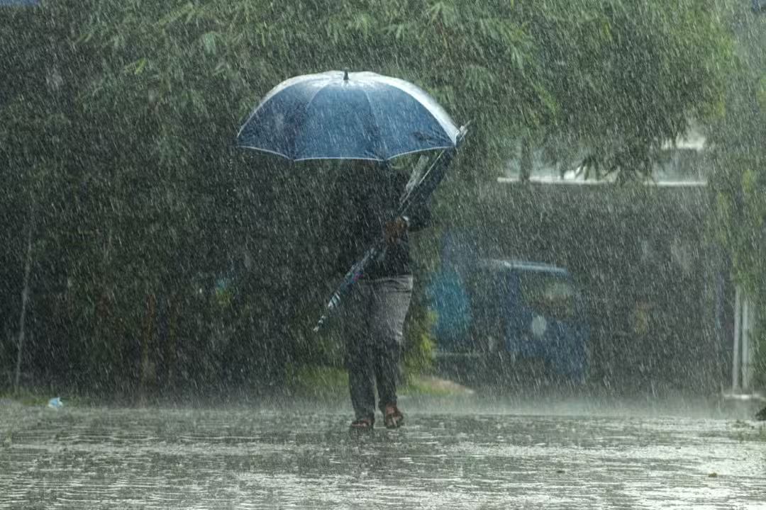
An extratropical cyclone is developing near the coasts of São Paulo and Rio de Janeiro this Friday night (30), initiating a trajectory over the Atlantic Ocean in the Southeast region. The system is then expected to move towards the South of the continent in the following days.
While the core of the cyclone is projected to move offshore into the open sea, its influence is significant. It organizes broad areas of instability that considerably heighten the risk of severe thunderstorms and substantial rainfall across multiple locations in both the Southeast and Southern regions of Brazil.

This weather event demands attention from residents and authorities due to its potential impact. The ongoing meteorological conditions are being closely monitored to provide timely updates and ensure public safety as the system progresses.
Understanding extratropical cyclones
An extratropical cyclone is a meteorological phenomenon distinguished by a system of low atmospheric pressure. These events typically occur in mid-latitudes, positioning them far from the equatorial zone.
They are a common occurrence in various parts of the world, including regions such as Europe, North America, and Asia. However, countries like Brazil are also susceptible to these weather systems, which can bring notable changes in local climate conditions.
Characterized by strong winds and intense rainfall, extratropical cyclones can, in some instances and depending on the geographical location, even lead to snowfall. Their impact is primarily driven by the dynamic interaction of different air masses.
How these cyclones develop
Extratropical cyclones typically form as a result of pronounced temperature differences between the equatorial region and the middle latitudes. This atmospheric dynamic occurs when warmer air from the equatorial zone ascends, while cooler air from the mid-latitudes descends, creating a distinct zone of atmospheric conflict.
This conflict zone acts as a primary catalyst for the generation of these powerful weather systems. Additionally, the presence of various air currents flowing at different altitudes further contributes to the complex atmospheric conditions necessary for cyclone formation. These combined factors lead to the development of the rotating weather patterns characteristic of extratropical cyclones.
The energy that fuels extratropical cyclones primarily derives from horizontal thermal contrasts, involving the interaction of a cold air mass positioned adjacent to a warm air mass. This mechanism contrasts sharply with tropical cyclones, which draw their energy from the evaporation of warm ocean water. Furthermore, extratropical systems are often associated with a cold front, a key differentiator in their atmospheric structure and behavior.
Distinguishing cyclone types
Citing data from the Center for Weather Forecast and Climate Studies (CPTEC) of the National Institute for Space Research (Inpe), cyclones primarily originate over oceans. These formations generally occur in tropical regions, which are situated between the Tropic of Cancer and the Tropic of Capricorn.
These powerful systems can persist for several days, traversing considerable distances and, in some cases, intensifying significantly. When such phenomena develop outside these defined tropical zones, they are classified as extratropical cyclones, denoting their distinct geographical and atmospheric characteristics.
The fundamental difference lies in their energy source and associated meteorological features. Tropical cyclones are fueled by the evaporation of seawater, while extratropical cyclones are driven by thermal contrasts between air masses and are typically linked to a cold front, resulting in generally weaker winds.
Safety measures during a cyclone threat
In anticipation of an extratropical cyclone, the civil defense recommends several crucial preventative actions to ensure safety. Adhering to these guidelines can significantly mitigate risks during periods of severe weather.
* Avoid areas heavily populated with trees and refrain from parking vehicles directly beneath them, as falling branches are a significant hazard.
* Secure all loose objects in balconies and yards, such as outdoor furniture, potted plants, and decorations, to prevent them from being carried away by strong winds.
* During thunderstorms accompanied by lightning, it is imperative to steer clear of open areas, metallic structures, and any contact with water, which can conduct electricity.
* Never attempt to cross flooded areas, whether on foot or in a vehicle, as the depth of the water and potential hidden hazards are often underestimated.
* Should an energized power line fall onto your vehicle, remain inside the car and immediately contact the Fire Department for assistance; exiting the vehicle can pose an electrocution risk.
* For any emergency situation, promptly contact the Civil Defense by dialing 199, or the Fire Department at 193, ensuring rapid response from emergency services.
These directives are critical for public safety and are updated annually to reflect the most current best practices in disaster preparedness for 2025. Following these measures helps protect lives and property during hazardous weather events.