

A recent study published in an international scientific journal brought new explanations about a gravitational anomaly located under Antártida, known as the largest gravity hole on the planet. Essa irregularity, which affects the local gravitational field, results in a reduction in gravitational attraction due to variations in the density of underground rocks. The researchers used seismic data and computer simulations to reconstruct the evolution of this feature over tens of millions of years. The analysis showed that the phenomenon is not recent, but dates back at least 70 million years, a period when dinosaurs still existed in the Terra.
The anomaly manifests as a depression in the geoid, the surface representing gravity-adjusted mean sea level, with a drop of about 130 meters in ocean level in the affected region. Essa variation is imperceptible on a daily basis, but it influences the distribution of ice masses and ocean dynamics. Scientists observed that the intensity of this fault increased significantly between 50 and 30 million years ago, coinciding with global climate changes that led to the formation of large ice sheets on the continent. Esses Terra internal processes, such as the flow of materials in the mantle, alter the gravitational balance and contribute to better understanding the stability of the polar caps.
The data indicate that slow movements of rocks within the planet are mainly responsible for the formation and strengthening of this anomaly. The simulations revealed convection patterns in the mantle, where hot materials rise and denser areas sink, creating contrasts that weaken local gravity. Essa discovery helps refine geophysical models that explain the internal structure of Terra and its interactions with surface phenomena.
Geological evolution of the anomaly
Temporal reconstruction of the gravitational anomaly beneath Antártida showed that it existed in a weaker form 70 million years ago. Over time, factors such as the subduction of tectonic plates contributed to its deepening. The researchers identified that the lower mantle presents density variations that directly influence the gravitational field at the surface.
These variations arise from thermal convection processes, where heat from the Earth’s core drives the movement of materials. Analysis of seismic waves from global earthquakes has made it possible to map these deep structures, revealing a low-density zone beneath the continent. Essa configuration explains why gravity is weaker in this region compared to other parts of the planet.
https://twitter.com/infobeautiful/status/1918379244733751417?ref_src=twsrc%5EtfwInternal processes and climate impacts
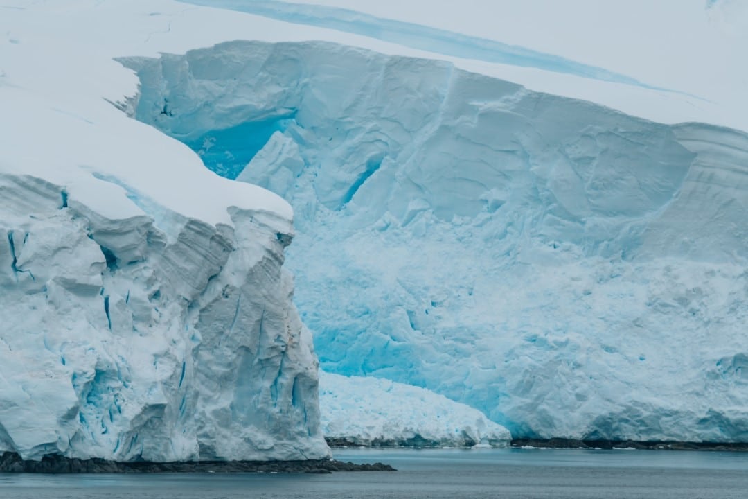
The strengthening of the anomaly coincided with the start of the Antarctic glaciation, a period marked by global cooling. Durante this interval, between 50 and 30 million years ago, the continent began to accumulate thick layers of ice, changing the distribution of mass on the surface. The reduction in gravity facilitated ice accumulation as it influenced local sea level and the stability of glacier masses.
Computer models demonstrated that the flow in the mantle intensified the gravitational depression, creating a feedback loop with climate change. Scientists have noted that these subsurface dynamics indirectly affect global ocean levels by modulating ice retention at the south pole. Essa connection between Earth’s interior and surface climate offers new perspectives for predicting future variations in Antarctic ice.
The simulations also indicated that the anomaly is not static, but evolves slowly over geological scales. Fatores how mantle viscosity and convection rate determine the speed of these changes, which occur at rates imperceptible on human scales.
Seismic mapping and technological advances
Seismic waves generated by earthquakes in different parts of the world were crucial for mapping the internal structure beneath Antártida. Esses data, collected by global networks of seismographs, made it possible to create three-dimensional images of the mantle, revealing density anomalies at depths of thousands of kilometers. Seismic tomography, the technique used in the study, works like a computed tomography, reconstructing underground layers based on wave speed.
The integration of satellite data, which measure variations in the gravitational field, complemented seismic analyses. Satélites like those on the GRACE mission detect small fluctuations in gravity caused by changes in Earth’s mass, including melting ice. Essa combination of technologies provided a comprehensive view of the anomaly’s evolution, confirming its link to ancient mantle processes.
The researchers applied numerical models to simulate the geophysical past, going back in time to Cretáceo Superior. Essas simulations showed that the anomaly shifted slightly over the millions of years, influenced by the movement of tectonic plates. The accuracy of these models depends on equations describing viscous flow in the mantle, fitted with current observational data.
The research highlighted limitations in previous models, which did not consider the temporal evolution of mantle convection. With the new data, scientists were able to refine predictions about how these deep structures respond to long-term climate variations.
Comparisons with other global anomalies
Similar gravitational anomalies exist in other regions, such as the gravity hole in Oceano Índico, which covers millions of square kilometers. However, Antártida stands out for its intensity, being the deepest in terms of depression in the geoid. Enquanto the Indian anomaly is linked to remnants of ancient subducted plates, the Antarctic results mainly from active convection in the lower mantle.
Comparative studies show that these irregularities affect the shape of Terra, which is not a perfect sphere, but an irregular geoid. Severity varies by up to 0.005% globally, with impacts on satellite navigation and geodesy. Na Antártida, the reduction is more pronounced, influencing accurate ice loss measurements.
Implications for polar studies
Understanding the gravitational anomaly helps assess the stability of the Antarctic ice sheets, which contain the largest freshwater reserve on the planet. Variações in gravity affect the flow of ice into the ocean, contributing to sea level rise. Modelos that incorporate these geophysical data improve projections about glacial melting under global warming scenarios.
Future research could explore how the anomaly interacts with surrounding ocean currents, which transport heat and nutrients around the continent. Essa interaction influences marine biodiversity and the global carbon cycle. Scientists emphasize the need for continuous monitoring to detect changes in the intensity of the anomaly.
Contributions from international teams
The study involved collaboration between geophysicists from institutions such as Universidade of Flórida and Instituto of Física of Terra of Paris. Esses experts combined expertise in computer modeling and seismic analysis to decipher the enigma of the anomaly. The research was based on public data from international seismic networks, demonstrating the value of global scientific cooperation.
These partnerships enable access to extensive datasets essential for high-resolution simulations. The results were validated by comparisons with independent observations, ensuring robustness to the conclusions. Essa multidisciplinary approach is fundamental to advance knowledge about deep Earth processes.