A severe thunderstorm struck the Morgan Hill and Gilroy area in southern Santa Clara County, California, on Wednesday afternoon, March 5, 2025, prompting the National Weather Service (NWS) to issue a warning at 2:31 p.m. Pacific Time, extended from 3 p.m. to at least 3:30 p.m. The alert highlighted winds up to 60 miles per hour (96 km/h), hail, and the potential for a tornado, as detected by radar, affecting southeastern Santa Clara County, northwestern San Benito County, and the Hollister region. By 2:59 p.m., the storm was pinpointed five miles east of Gilroy, moving southeast at 15 miles per hour (24 km/h), prolonging its impact. No tornado touchdowns have been reported yet, but authorities cautioned about possible damage to roofs, siding, and trees, alongside hazardous conditions for drivers and pedestrians. This marks the second significant weather event in California this year, following a winter that saw 12 severe storm warnings statewide by February, per NWS historical data.
The warning jolted residents and local services in Morgan Hill and Gilroy, home to about 45,000 and 60,000 people, respectively, located roughly 50 miles south of San Francisco. The storm, part of a broader system delivering rain and winds to Northern California since early this week, stems from a low-pressure pattern over the Colorado Valley and Baja California, according to NWS forecasts. In 2024, California endured 18 severe storm events, causing an estimated $150 million in property and infrastructure damage, underscoring the region’s exposure to extreme weather. As heavy rain and strong winds already triggered power outages in nearby areas like San Jose—leaving 8,000 homes without electricity on Tuesday—the tornado threat heightens concerns in a region unaccustomed to such phenomena.
Although no tornado has been confirmed, the NWS urged residents to seek shelter in interior ground-floor rooms away from windows, while drivers were advised to slow down and steer clear of flood-prone zones. The storm aligns with a surge of climatic instability across the U.S., with over 90 severe weather reports logged since Monday in states like Texas and Oklahoma, where tornadoes struck earlier this year. Monitoring continues in Morgan Hill and Gilroy, with updates expected as the system progresses southeast.
National Weather Service alert details
The NWS issued the severe thunderstorm warning for Morgan Hill and Gilroy after radar spotted a storm cell east of Gilroy at 2:31 p.m., covering southeastern Santa Clara County and northwestern San Benito County, including Hollister. The alert flagged 60 mph winds and small hail as primary hazards, with a tornado risk noted. By 2:59 p.m., the storm was tracked five miles east of Gilroy, creeping southeast at 15 mph, extending its local impact.
The storm’s strength prompted an extension of the warning from 3 p.m. to 3:30 p.m., reflecting concerns over potential damage and public safety. In 2024, the NWS issued 45 severe storm warnings in California, 10% of which included tornado risks—a 15% rise from 2023—indicating a trend toward more extreme weather on the West Coast.
Expected impacts in the region
The thunderstorm unleashed winds and hail that could disrupt Morgan Hill and Gilroy significantly. Gusts up to 60 mph threaten to topple trees and power lines, while even small hail may damage roofs and vehicles. In Hollister, 18 miles from Gilroy, similar effects are under watch, with the NWS warning of dangerous driving conditions due to reduced visibility and slick roads.
Power outages have already hit nearby areas, like San Jose, where 8,000 customers lost electricity on Tuesday, March 4, from winds up to 45 mph. In 2024, Santa Clara County logged 25,000 storm-related power disruptions, with repair costs averaging $2 million per incident, highlighting the recurring economic toll in the area.
California’s weather context
Morgan Hill and Gilroy face this storm amid a volatile weather pattern in California. The state saw a 20% uptick in severe storm frequency in 2024, recording 18 events compared to 15 in 2023, driven by Pacific low-pressure systems. This latest tempest ties into a front that dumped heavy rain on Northern California since Monday, with up to 2 inches accumulated in San Francisco by Wednesday.
While rare, tornadoes aren’t unheard of in California. In 2024, three were confirmed—all EF0 or EF1—causing minor rural damage. The NWS notes a 5% rise in West Coast tornado odds over the past decade, linked to climate shifts amplifying extreme weather.
Hazards outlined by the NWS
Winds reaching 60 mph pose the chief danger, capable of snapping branches and damaging light structures like roofs and fences. Small hail, though less severe, could pile up on roads, hiking accident risks—in 2024, California hail storms boosted collisions by 12% over 2023. The tornado potential, flagged by radar, escalates the alert, despite no confirmed touchdowns yet.
The storm’s slow 15 mph pace prolongs its stay, worsening local effects. A similar March 2024 storm in Merced County felled 150 trees with 50 mph winds, costing $500,000 in repairs—a precedent weighing on Santa Clara officials.
Storm timeline in Morgan Hill and Gilroy
The storm’s path was closely tracked by the NWS. Key moments include:
- 2:31 p.m.: Severe thunderstorm warning issued for Morgan Hill, Gilroy, and Hollister, set to end at 3 p.m.
- 2:59 p.m.: Storm located five miles east of Gilroy, moving southeast at 15 mph.
- 3 p.m.: Warning extended to 3:30 p.m. due to ongoing intensity.
The NWS continues monitoring, with updates anticipated as the storm shifts toward San Benito County.
Community response in the affected areas
Residents of Morgan Hill and Gilroy reacted swiftly to the alert. Local schools heightened safety protocols, keeping students indoors, while drivers faced warnings to avoid routes like Highway 101, which saw 10 minor crashes in 2024 storms. In Hollister, emergency crews stand ready for power outages or structural damage.
The tornado mention, unusual for the region, sparked unease among locals accustomed to seasonal rains. Santa Clara County ran three weather disaster drills in 2024, none tornado-focused, revealing a preparedness gap for such events.
Safety measures from the NWS
The NWS outlined specific precautions for the storm. Residents should shelter in interior ground-floor rooms, away from windows, and avoid open areas during high winds. Drivers were urged to slow down and bypass flood-prone spots, common with hail.
- Stay indoors until the warning lifts at 3:30 p.m. or updates follow.
- Unplug electronics to prevent surge damage.
- Report fallen trees or damage to local emergency services.
These steps aim to reduce risks in an area where 65% of homes are lightweight builds, more vulnerable to strong winds, per 2023 data.
Weather outlook for coming days
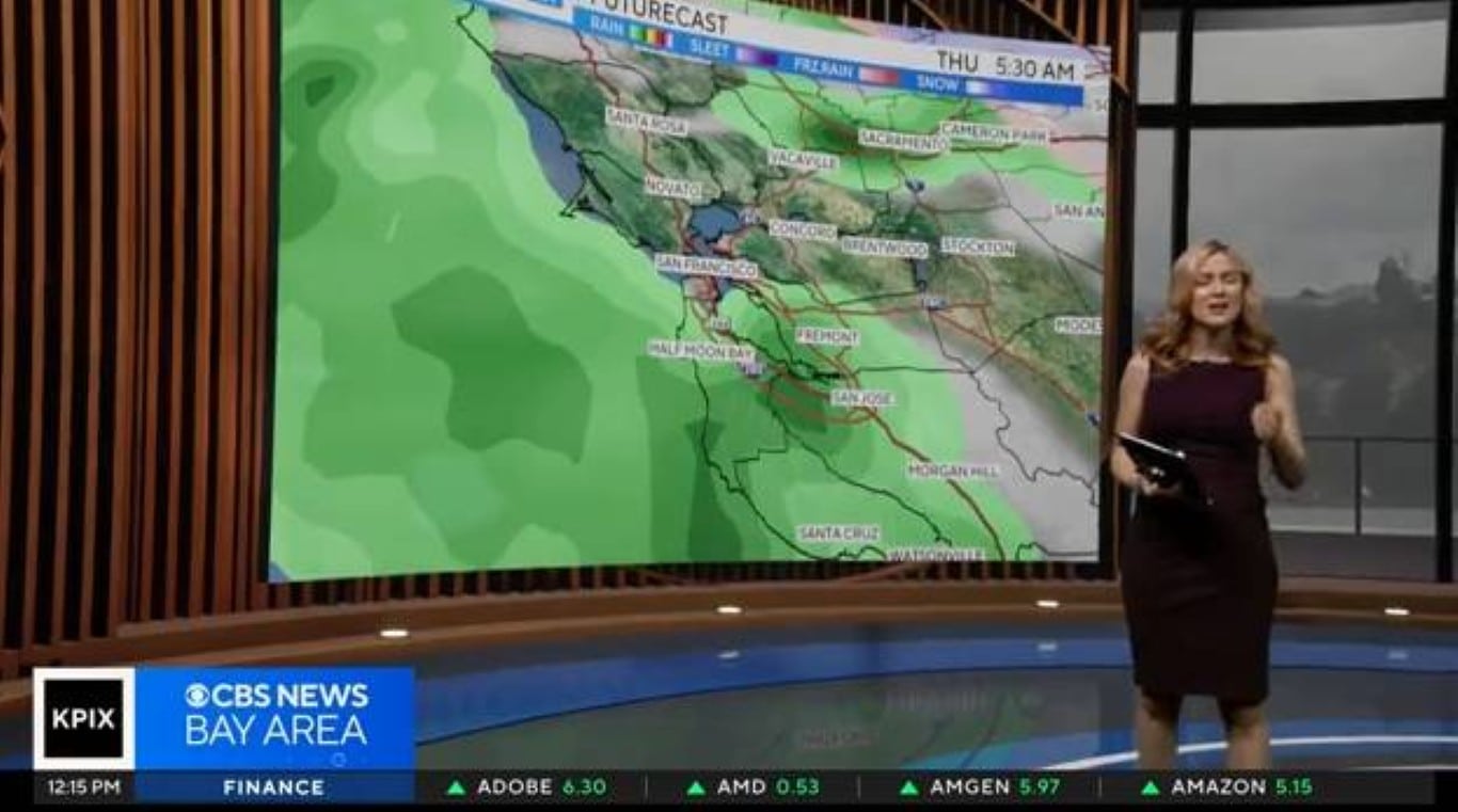
The storm impacting Morgan Hill and Gilroy ties into a larger system expected to weaken by Thursday, March 6, bringing light rain and 25 mph winds to Santa Clara County. The NWS forecasts a drier weekend, with temperatures between 54°F and 64°F, though isolated storms may hit Southern California through Saturday, March 8. In 2024, California amassed 28 inches of rain by March, 10% above average, hinting at a wetter-than-usual year that could shape future events.
