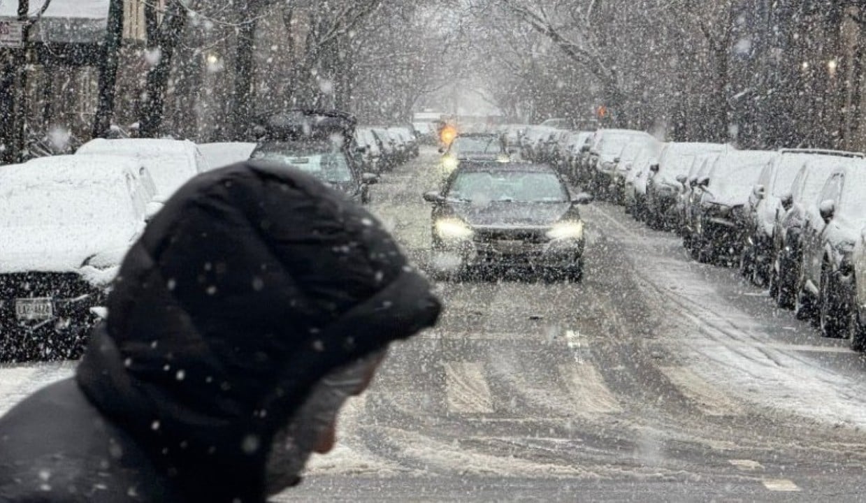
The state of The forecast indicates snow accumulation of between 40 and 45 centimeters in the metropolitan area of Nova York and in Vale of Hudson until Monday (26). Authorities warn of dangerous traffic conditions, flight cancellations and recommend that the population avoid unnecessary travel. The storm begins between midnight and 8am on Sunday (25th), local time, and lasts until early afternoon on Monday.
The snowfall arrives accompanied by a sharp drop in temperatures, with minimum temperatures expected to reach -11°C on Friday (23). The intense cold persists for several days, with temperatures above zero degrees only expected for the beginning of February. Meteorologistas highlight that accumulations of more than 30 centimeters can completely interrupt the normal functioning of the city, affecting public transport, highways and airport operations.
Prevention measures adopted by the city hall
The city hall of Nova York, under the command of mayor Zohran Mamdani, initiated preventive actions to minimize the impacts of the storm. Equipes apply brine to main streets, highways and bike paths to reduce ice buildup. Road cleaning will be intensified immediately after the snowfall ends.
Around 2,000 workers from Departamento of Saneamento were mobilized for snow removal operations. The regular garbage collection fleet has been temporarily adapted to act as snow removal vehicles. Essas measures aim to ensure mobility in critical areas as soon as conditions allow.
Detailed accumulation and risk forecast
The expectation is for 40 centimeters of snow in the city of Nova York, with up to 45 centimeters in parts of Vale and Hudson. National Weather Service issued winter storm warnings, highlighting whiteout risks on sections of highways.
- Projected accumulation in the city: 35 to 40 cm on average.
- Most affected areas in the north and west: up to 45 cm.
- Possible transition to freezing rain or sleet at the end of the event in some coastal areas.
- Strong winds can worsen the thermal sensation and make visibility difficult.
Roads are expected to be in precarious conditions from Sunday onwards, with the possibility of closing airports such as JFK, LaGuardia and Newark. Voos are already recording preventive cancellations in preparation for the peak of snowfall.
Expected impacts on transport and urban routine
Land traffic may be slow or unviable in many areas, especially if the accumulation exceeds 30 centimeters. Especialistas indicate that the city can practically stop in scenarios of intense snow, with interruptions in the subway and buses.
Airports face heightened risk of total shutdown during the height of the storm. Autoridades coordinate with federal agencies to manage passenger delays and relocations. The use of public transport is encouraged for those who need to travel.
Comparison with previous events
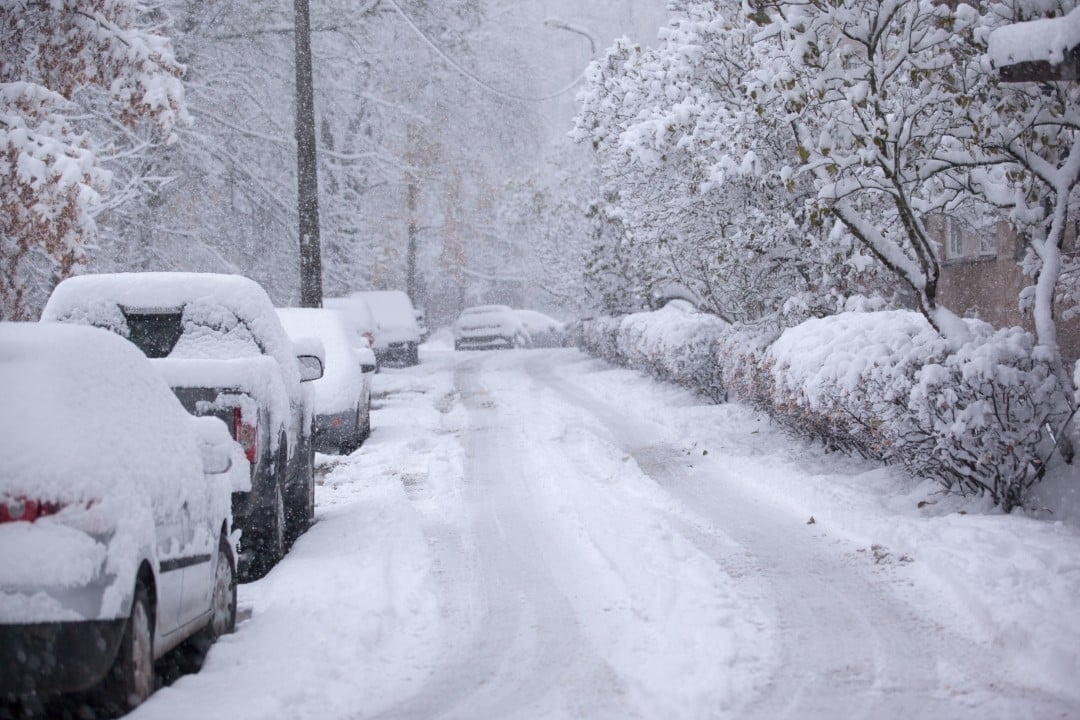
The last large accumulation in the city occurred in February 2021, when around 42 centimeters were recorded at Central Park. Current snowfall could exceed that volume in several areas, approaching 1996 records.
Since then, few storms have reached similar levels in the metropolitan region. The combination of heavy snow and extreme cold increases the challenges of quickly clearing and restoring roads.
Recommendations for the population
Residents should stock up on essential supplies such as food, water and medicine for at least three days. Evitar non-essential travel is the main guidance from authorities.
- Keep cell phone chargers and battery-operated radios.
- Check on elderly or vulnerable neighbors.
- Clear sidewalks in front of homes for pedestrian safety.
- Monitor official updates via municipal channels.
The end of the snowfall is expected in the early afternoon of Monday (26), local time, when cleaning operations gain full intensity.
