

A low pressure system originating in Vale from Mississippi advances towards the east, reaching the provinces of Ontário and Quebec with a severe combination of precipitation. The warm air mass at altitude encounters layers of cold air close to the surface, creating a favorable scenario for ice formation. The meteorological phenomenon requires immediate attention due to the rapid change in atmospheric conditions over the next few hours, directly affecting the routine of millions of residents.
Local authorities have issued surveillance advisories for several urban and rural areas, including Ottawa, Montreal and Grande Área of Toronto. The mobilization of state and municipal resources occurs preventively to try to mitigate the damage caused by bad weather.
The main characteristics of this weather event include the following risk factors:
- Abrupt drop in temperatures over short periods of time.
- Rapid accumulation of ice on exposed surfaces and roadways.
- Continuous gusts of wind that can reach up to 60 km/h.
- High risk of interruption in the electricity supply.
The seasonal transition amplifies the storm’s effects, creating steep thermal gradients between different geographic zones. Especialistas in meteorology monitor the movement of cold fronts using satellite images and radar data, adjusting forecast models as precipitation intensifies in the most vulnerable regions of Canadian territory.
Evolution of the cold front in the provinces
The advance of precipitation begins during the night in Ontário, concentrating intense rains in the southern portion of the province. Conforme the system moves towards the center and east, the rain turns into a wintry mix, drastically altering the landscape and mobility conditions on the connecting roads.
During the early hours and the following morning, instability reaches Quebec, where the risk of freezing rain reaches its maximum peak. The drop in thermometers to negative levels consolidates the formation of layers of ice on urban infrastructure, bridges and viaducts, requiring intervention from janitorial teams.
Strong winds begin to predominate behind the cold front, dispersing the loose snow and considerably increasing the feeling of cold. X__NM0____
Direct effects on mobility and services
The accumulation of ice on electrical wiring and tree branches represents one of the biggest concerns for energy distribution companies. The extra weight on structures often results in failures, leaving entire neighborhoods without electricity for prolonged periods and requiring complex repairs under adverse conditions.
On highways, reduced visibility and slippery asphalt require extreme caution from drivers who need to move. Equipes road maintenance workers work around the clock applying salt and sand to try to melt the ice and ensure minimum grip on winter tires.
Public transport and commercial aviation are also undergoing significant changes to their regular operations. Aeroportos located in
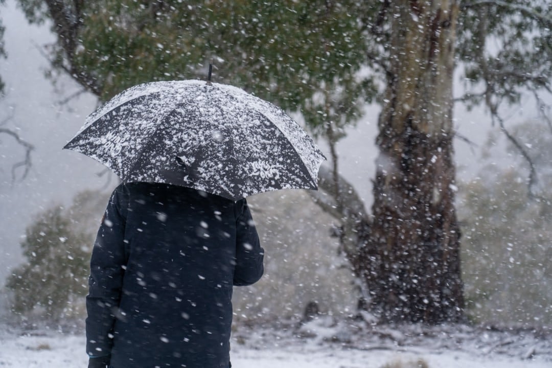
Pedestrians face additional difficulties when traveling on sidewalks and crossings covered in thin layers of black ice. The official recommendation from security agencies is to avoid walking that is not strictly necessary during the height of the meteorological event.
Temperature contrasts and forecast models
The thermal dynamics of this system highlights a notable disparity between different locations affected by the same front. Enquanto the region of Windsor can record temperatures close to 20°C before the arrival of the air mass, the Grande Área of Esse thermal contrast in a relatively close geographic area is the main fuel for the severity of mixed precipitation and the formation of supercooled droplets.
European and Canadian meteorological models indicate the possibility of ice accumulations of up to 15 millimeters in specific high elevation points. The accuracy of these projections depends on continuous monitoring of the speed of air mass movement and the rate of cooling of the Earth’s surface. Estações measurement provides real-time data that feeds government alert systems, allowing quick adjustments to the guidance provided to the press and the population.
Security protocols and civil preparedness
Mitigating the risks associated with severe winter storms requires rigorous advance preparation by the population and municipal administrations. Moradores in rural and urban areas receive ongoing guidance to review their emergency kits, ensuring adequate supplies of drinking water, non-perishable food, flashlights and extra batteries in case of prolonged blackouts that affect home heating. Nos hospitals and essential care centers, power generators undergo preventive testing to ensure the uninterrupted operation of vital life support equipment. Paralelamente, traffic departments use electronic panels and navigation applications to divert the flow of vehicles from routes known to be more prone to ice accumulation, such as suspension bridges, overpasses exposed to winds, and less-traveled secondary roads. Strategic collaboration between provincial and federal agencies allows for efficient allocation of rescue resources and heavy cleaning machinery, prioritizing areas with the highest population density and critical infrastructure for maintaining public order.
Hydrological conditions and melting
In addition to the immediate disruptions caused by ice and wind, environmental authorities are closely monitoring the situation in river basins, especially in the south of Ontário. The region’s soil is already saturated due to rainy events that occurred in previous weeks, which drastically reduces its natural capacity to absorb new volumes of water.
The subsequent melting of accumulated ice, coupled with the continuous rainfall of the system’s transition, increases the risk of localized flooding. Operadores of dams and locks adjust retention levels preventatively to control river flow and prevent overflows in riverside residential areas and agricultural areas.
Performance of rapid response teams
Emergency services professionals, firefighters and utility technicians maintain maximum readiness throughout the low pressure system’s passage. The priority of service fleets is directed towards clearing main roads blocked by fallen trees and quickly restoring power to health facilities, shelters and public safety centers.
Projections for the following days
The dissipation of the cold front and the decrease in wind intensity should occur gradually from the end of the week. The entry of a new, more stable and drier air mass will allow temperatures to gradually rise and the natural melting process to begin in the provinces of Ontário and Quebec.
Despite the expected improvement in general atmospheric conditions, remnants of ice in shaded areas and roads less exposed to sunlight will continue to require increased attention from drivers and pedestrians. Urban cleaning operations and the repair of damaged electrical infrastructure will continue over the following days until all essential services are fully and safely restored.