

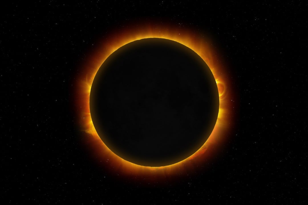
The North American space agency organizes a major scientific and media operation to record the next major astronomical event of the decade. Scheduled for August 12, 2026, the total darkening of the day caused by the exact alignment between the Earth, the Moon and the Sun will mobilize hundreds of researchers and cutting-edge equipment. Strategic planning involves everything from simultaneous transmission to a global audience to sending special aerial vehicles to capture unprecedented data about the behavior of our star. Experts seek to take advantage of the rare minutes of darkness to better understand solar storms and their direct effects on our planet’s technological infrastructure.
Path of the lunar shadow will favor countries in the Northern Hemisphere
The main path of the phenomenon will cross specific areas of the globe, providing a complete view of the blocking of sunlight for anyone on the exact route. Residents, scientists and tourists positioned in Greenland, Iceland and the far north of Russia will have a privileged view of totality. The band of maximum darkness will also cross vast stretches of the Atlantic Ocean before reaching the European continent in the late afternoon. In the Iberian Peninsula, Spain will concentrate the largest terrestrial observation area, while a small fraction of Portugal’s territory will also record the peak of the astronomical event, requiring preparation from local authorities for the flow of observers.
Outside this privileged central band, billions of people will still be able to follow a partial version of the light block, where the Moon covers only a slice of the solar disk. The secondary coverage area covers practically all of Canada and extends across a large part of the United States, forming a visible diagonal that runs from Alaska to the state of North Carolina. The northwest of the African continent and most of Europe will also notice a decrease in natural light during the event. In these places, the use of glasses with certified filters will be strictly mandatory for the entire duration of the Moon’s passage to avoid irreversible damage to spectators’ vision.
More on this story: Extreme solar flares reach level X8.1 and generate geomagnetic storm warning on Earth
Adapted military aircraft chase the phenomenon into the stratosphere
To escape the clouds and guarantee absolutely clear images, the scientific operation will use high-altitude WB-57 jets, operated under government coordination. These aircraft fly in the stratosphere, more than 15 kilometers high, far above ordinary commercial traffic, which eliminates any meteorological interference in data collection. Flying at very high speeds in the same direction as the shadow cast by the Moon, pilots are able to extend the observation time of totality by several minutes. This time saving is essential for the operation of the spectrometers and high-resolution cameras installed in the nose of the planes.
The main target of this high-risk aerial chase is the solar corona, the star’s superheated outer atmosphere that is normally completely obscured by the intense glow of the main disk. Researchers want to map the origin of solar winds, charged particles that travel through space and constantly hit Earth’s magnetic field. Understanding the complex dynamics of this hidden region helps predict severe space weather events, which have the potential to damage communications satellites, disorient GPS navigation systems and even cause blackouts in terrestrial electrical grids.
University students launch meteorological equipment in Europe
The research effort also includes the active participation of the academic environment through a national ballooning project focused on atmospheric phenomena. Groups of American university students will cross the ocean to bases strategically set up in Iceland and Spanish territory. The mission of these young scientists consists of releasing dozens of stratospheric balloons loaded with sensitive temperature, pressure and humidity sensors. The launches will take place in a strictly scheduled manner hours before, during the peak and shortly after the passage of the lunar shadow across European skies.
The objective of this specific initiative is to record the immediate reactions of our own atmosphere to the abrupt and atypical drop in solar radiation. When day suddenly turns to night, air temperature plummets in a matter of minutes, generating atmospheric gravity waves that alter the pattern of local winds and the behavior of fauna. The data collected by the suspended sensors will help meteorologists refine weather forecast models, showing exactly how the layer of gases that surrounds the planet responds to very short-term thermal shocks.
Official schedule to follow live coverage
Those who cannot travel to the European continent or the Arctic Circle will have access to special programming generated directly from space control centers. The official transmission begins in the early afternoon of August 12, 2026, integrating images from ground-based telescopes, satellites in orbit and the aircraft themselves in flight. Heliophysics experts will comment on the images in real time, translating the complex technical terms for the lay public. During the exhibition, the presenters will also answer questions sent by viewers through the institution’s main digital platforms.
Learn more: NASA satellite records unprecedented circular luminous phenomenon in the Atlantic Ocean
To facilitate monitoring by the Brazilian public, the operating times were converted to the official Brasília time zone. The transmission dynamics will follow specific geographic landmarks of the shadow’s advance across the planet:
- Start of digital programming and opening of the global video signal at 2:15 pm.
- First major milestone of totality reaching Icelandic territory at exactly 2:45 pm.
- Arrival of maximum shadow on the European continent, crossing Spain at around 3:28 pm.
- Closing of the main broadcast and beginning of publication of the photographic collection on the Flickr platform.
Strategic importance of continuous space monitoring
The heavy investment in covering celestial events goes far beyond scientific curiosity or visual entertainment for the public. Humanity’s increasing dependence on space-based technologies requires rigorous monitoring of the climate in the solar system. Total eclipses function as a perfect and irreplaceable natural laboratory, offering lighting and contrast conditions that no equipment built by man can replicate with the same technical perfection.
All the high-resolution photographic material captured during this short observation window will serve as the basis for academic studies that will last for years. The raw images will be made available in public repositories shortly after the aircraft have landed and the weather balloons have been safely retrieved. With this open data policy, independent researchers from around the world will be able to cross-reference information collected in Iceland and Spain with records from satellites that monitor the Sun around the clock, expanding human knowledge about the star that guarantees life on Earth.