Mix of snow and freezing rain affects travel in southern New Hampshire this Friday

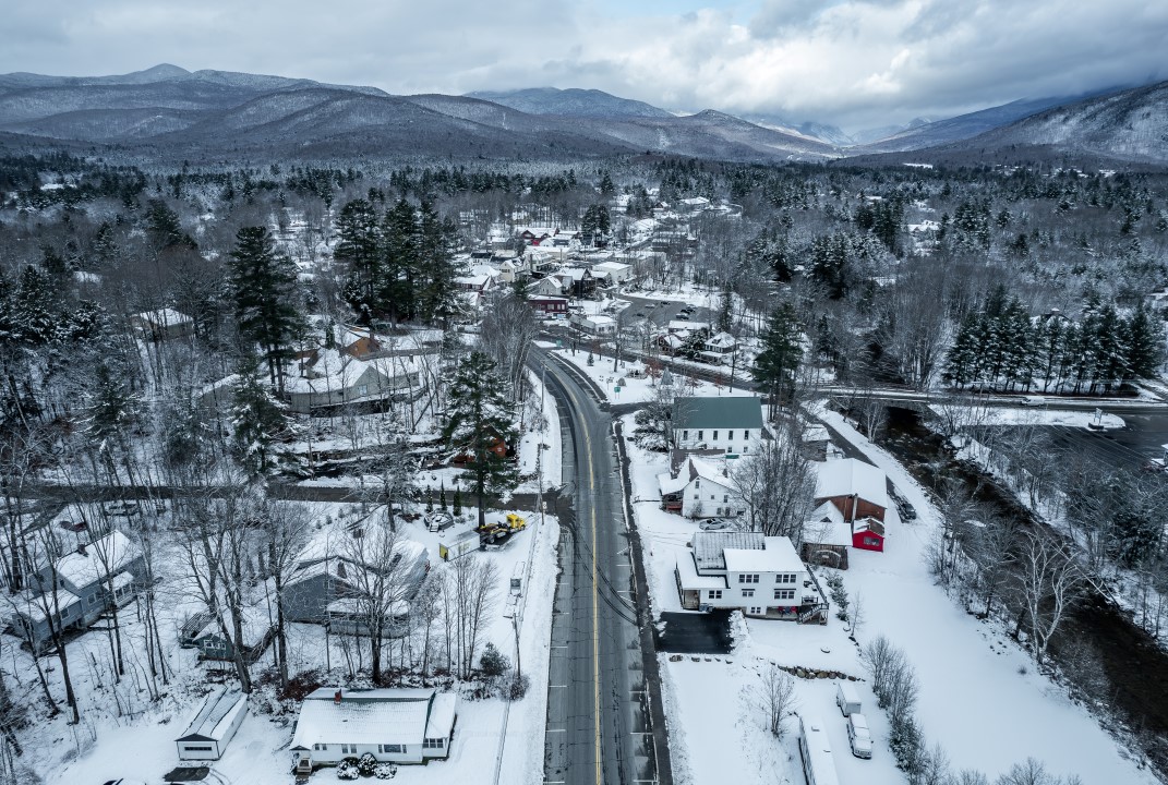
A mix of snow and sleet continues to mainly affect the southern and central areas of New Hampshire on Friday morning. Conditions have made highways slippery since Thursday night, when precipitation started as rain and changed to freezing rain and snow. Low temperatures kept treated surfaces at risk of ice, complicating the morning commute in several regions of the state.
Accumulated precipitation varies depending on location. Áreas south of Montanhas Brancas generally records between 2.5 and 7.6 cm of snow, with some points south of the Lagos region reaching up to 15 cm. In the north, above Vale of Mount Washington and Great North Woods, accumulation is limited to a light layer of snow or white dust. The most intense precipitation occurred between 7 am and 9 am, with the system moving east and gradually decreasing.
Current conditions and impacts on traffic
Morning temperatures range from -6°C to -1°C in many locations, well below the freezing point, which favors the formation of ice on untreated surfaces. Equipes maintenance personnel have been applying salt and sand to the main roads since the previous night, but drivers face sections with slush and slick spots. Autoridades recommend reducing speed and avoiding unnecessary trips during the morning rush hour.
Wind with an onshore component contributes to persistent drizzle in coastal areas, worsening visibility and road conditions. Traffic improves throughout the afternoon as precipitation decreases, but the risk of refreezing persists into the evening as temperatures fall below freezing again.
Forecast for the weekend and early next week
Dry weather gradually returns on Friday afternoon, with only isolated drizzle or light freezing drizzle in some spots. The maximum temperatures are between -1°C and 2°C during the day, maintaining the characteristic cold.
On Saturday, there will be some isolated rain, but without significant volumes, and the sun will partially appear in the afternoon. Temperatures rise to the range of 4°C to 9°C in the afternoon, bringing gradual relief. Sunday remains partly sunny across most of the state, with more stable conditions.
Heating scheduled for the next few days
The warming trend is consolidated from Monday, when maximum temperatures reach 10°C to 15°C in several regions. On Tuesday, there is a possibility of temperatures above 15°C in parts of the state, marking the peak of the relative heat wave for the period.
A cold front arrives on Wednesday afternoon, bringing isolated rain and falling temperatures. The system should not bring significant volumes of precipitation, but it marks the return to more typical transition conditions for the end of March.
Details about the weather system
The system that has been affecting the state since Thursday night results from a mass of cold air interacting with moisture coming from the ocean. The phase change of precipitation occurred quickly due to the nighttime thermal drop, changing from rain to a wintry mix within a few hours.
Southern and central regions receive most of the accumulation as they are closer to the thermal transition zone. High Áreas, like the top of Mount Washington, record even lower temperatures, with values below -10°C at times.
- Accumulated snow: 2.5 to 7.6 cm in most southern areas; up to 15 cm in pockets south of Lagos.
- Residual precipitation: Garoa light or freezing on Friday morning in isolated spots.
- Minimum morning temperatures: Faixa from -6°C to -1°C in the south and center.
- Daily highs: -1°C to 2°C on Friday; 4°C to 9°C on Saturday.
- Trend: Aquecimento progressive until Tuesday, with maximums above 15°C possible.
The forecast indicates that conditions will improve significantly after noon on Friday, allowing highways to recover as temperatures gradually increase in the following days.