Volcanic ash on Mars advances 50 years in space image comparison

Imagens obtained by Agência Espacial Europeia (ESA) and Nasa reveal significant expansion of volcanic ash deposits on the surface of Marte between 1976 and 2024. Comparison between photographs captured by Viking orbiters almost five decades ago and current images shows considerable advancement of dark spots over the red planet’s light sands. Cientistas highlight that observing geological changes of this magnitude in less than 50 years is a rare phenomenon, as similar processes normally take millions of years to manifest.
Transformação visible in orbital images
The visual contrast between records from 1976 and 2024 is evident in photographs released by space agencies. Nas images Viking, volcanic deposits occupied a much smaller and more concentrated area on the Martian surface. Atualmente, the ash covers a substantially larger region of the planet. A crater approximately 15 kilometers wide was identified within this expansion zone, surrounded by a lighter-toned “ejection blanket.” Linhas visible within this geological formation suggests the presence of frozen material in a continuous process of detachment from the surface.
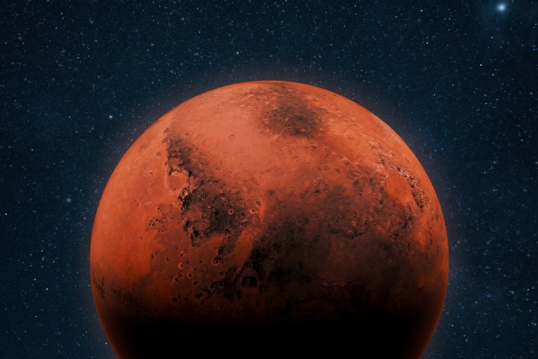
The superior resolution of modern cameras makes it possible to detect details that were not visible in equipment from the 1970s. Essa’s technical capacity allows for precise comparative analyzes and monitoring of transformations with greater accuracy, offering fundamental data for understanding Martian dynamics.
Mecanismos proposed for dispersal
Pesquisadores is still investigating the specific factors that caused this accelerated increase in volcanic ash in Marte. Três main hypotheses guide ongoing scientific analyses:
- Dispersão by the Martian wind, which would have spread the ash over a wider area of the planetary surface.
- Remoção of superficial dust, where winds would have removed a light layer of dust that covered the pre-existing ash, making it more visible.
- Possível recent volcanic activity on the planet, not yet completely documented.
Não There is consensus among the scientific community about which mechanism predominated in this observed transformation. Ongoing analysis of images and spectroscopic data is ongoing to clarify the exact origin of changes detected in Martian volcanic deposits.



Importância for planetary research
The ability to document significant geological changes in such a short period of time represents a rare opportunity for scientists studying the evolution of planetary environments. Mudanças on scales of decades, rather than millions of years, allows researchers to study dynamic processes more directly and better understand how atmospheric factors influence the Martian surface. Volcanic deposits serve as natural markers to monitor wind activity and geomorphological processes in Marte.
Systematically comparing images over time provides fundamental data for Martian climate simulation models and predictions about future changes on the planet. Essa methodology has already proven effective for monitoring transformations in other regions of Marte and other celestial bodies in the solar system, consolidating a historical series of data on the evolution of the planetary surface.
Avanços technological in orbital observation
The 1976 images were taken by the Viking orbiters during the first successful Mars exploration missions. Current Câmeras, installed on modern Nasa and ESA orbiters, offer significantly higher resolution, allowing you to detect smaller details and follow transformations with much greater precision. Esse technological advancement enables comparative analyzes that would be impossible with equipment from the 1970s, ensuring that future comparisons can be carried out with increasingly refined data.
The continuity of orbital observation missions ensures permanent monitoring of the Martian surface. Essa’s systematic approach to documentation over time lays a solid foundation for understanding planetary dynamics and informing future exploration strategies, including planning rover landings and safety of future crewed missions.
Veja Tambem em Latest News (EN)

Gabriel Jesus refuses European giants and decides to stay at Arsenal to seek historic record

Cristiano Ronaldo and Lionel Messi’s fortunes go beyond the pitch with billion-dollar investments

Green Bay Packers running back Josh Jacobs faces arrest following five felony charges in Wisconsin

Brazilian striker details alliance with French star at Real Madrid and praises fight against racism

Arsenal star Bukayo Saka challenges Paris Saint-Germain in the Champions League final

Defender Ona Batlle ends winning streak at Barcelona and moves to Arsenal

Besiktas prepares offer of seven million euros to take goalkeeper Rossi from Flamengo in the next window

Paris St-Germain reaches the Champions League final with a brutal physical advantage over Arsenal

Former midfielder Guti questions the management of Real Madrid’s academy and points to the mystery of Xabi Alonso’s departure

Striker Cristiano Ronaldo secures an unprecedented trophy for Al-Nassr and raises alarm in the Portugal team

Midfielder Pedri confirms absolute stay at Barcelona and rejects transfers in the European market