

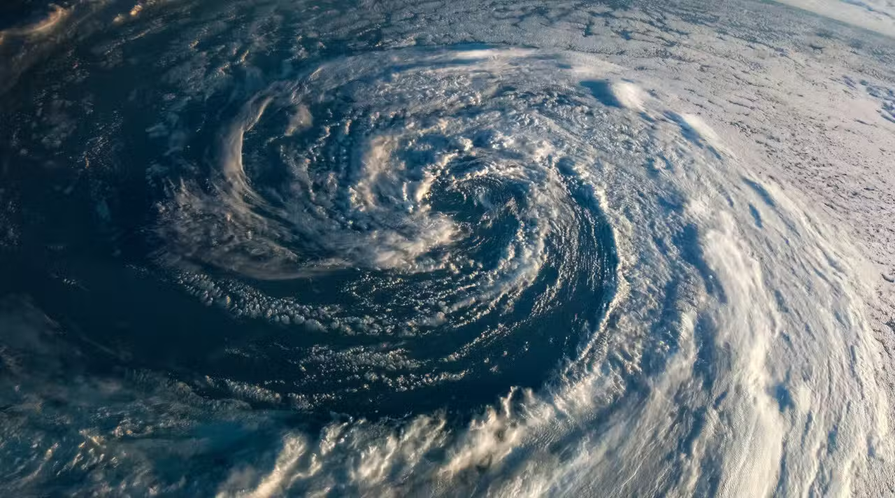
Typhoon No. 6 Chanmi was moving slowly north-northwest on the evening of Thursday, May 28. The system was positioned east of Filipinas with a central pressure of 998 hPa and maximum winds of 18 m/s near the center. The forecast indicates gradual intensification in the coming days.
Meteorologistas follows the movement of Typhoon Chanmi closely. The system is expected to strengthen with the support of high sea surface temperatures. Ele could become a strong typhoon on Saturday, May 30th, and a very strong one on Sunday, the 31st.
Previsão points strong approach to Okinawa and Amami
Typhoon Chanmi is expected to approach the islands of Okinawa and Amami between Monday, June 1st and Tuesday, June 2nd. Strong Ventos and high waves represent the main risk at this stage.
Autoridades recommend that residents and visitors to the region take precautions now. Typhoon No. 6 will be the first to approach Okinawa since November last year. Strong Chuvas and intense winds could cause significant impacts on the islands.
- Ventos maximums could exceed 44 m/s near the center when the system is strongest
- High Ondas should affect the exposed backs of Okinawa and Amami
- Intense Chuvas may occur in a localized manner
- Risco of storm winds around the typhoon
- Possibilidade of interruptions in maritime and air transport
The system is still in the early stages of development. However, oceanic conditions favor a gain in intensity throughout the weekend.
Strong Chuvas can hit Kyushu and part of Honshu
Typhoon Chanmi is expected to send large amounts of moist air to the west of Japão as it approaches Okinawa. Esse flow favors the formation of rain clouds in several regions.
Kyushu, Shikoku and the southeast slopes of Península of Kii are among the areas with the highest chance of heavy precipitation. The pattern may extend east of Japão depending on the system’s exact trajectory.
Meteorologistas indicate that the typhoon is expected to turn east after passing near Okinawa. The movement would align with an area of low pressure coming from the continent. Essa change could keep the risk of rainfall elevated mid-week in parts of the country.
Current Detalhes from Typhoon Chanmi on May 28
The center of Typhoon No. 6 was located east of Filipinas on Thursday night. Movement was slow, heading north-northwest.
Velocidade maximum wind recorded near the center reached 18 m/s, with gusts of up to 25 m/s. Central pressure was 998 hPa. Essas marks indicate a system still in development, but with potential for rapid growth.
Equipes meteorology update projections regularly. Modelos shows that Typhoon Chanmi is expected to gain strength over the next few days before heading north.
Preparation Medidas recommended for the population
Moradores of Okinawa and Amami need to check water, food and battery stocks. Local authorities advise securing loose objects and protecting windows.
Transportes air and sea routes in the region may undergo changes as the typhoon approaches. Quem has a planned trip and must consult the companies in advance.
The risk is not just limited to the nearest islands. Chuvas strong Kyushu and Honshu can cause flooding and landslides even though the typhoon is still far away.
Trajetória future still has uncertainty
Extended Previsões indicates that Typhoon Chanmi is expected to pass south of Kyushu around mid-week. The system may track over the sea south of Honshu.
Essa route would maintain moisture flow to Japão and sustain the potential for heavy rainfall in the west and east of the country. Especialistas ask the population to follow daily updates.
Typhoon #6 Chanmi reinforces the importance of being prepared for typhoon season in Japão. Sistemas like this require constant attention to the affected areas.