
Forecast of the week: cyclone brings up to 150 mm of rain and risk of hail in Brazil

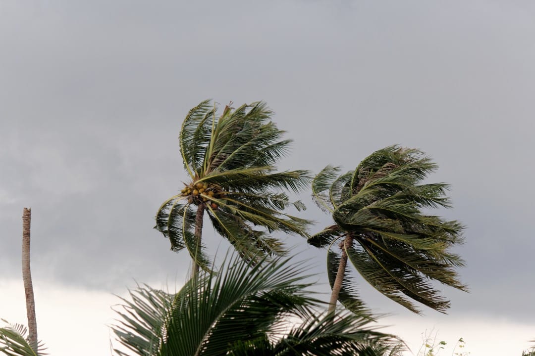
The formation of a new extratropical cyclone on the coast between regions Sul and Sudeste of Brasil intensifies instability from this Tuesday (2). The Instituto Nacional of Meteorologia (Inmet) maintains an alert for heavy rain and storms in 20 states and the Distrito Federal this Monday (1st). The phenomenon reorganizes humidity and increases the risk of hail and gusts of wind in several areas of the country.
A cold front associated with the system moves forward and reaches all five regions over the next few days. Precipitation volumes can exceed 150 mm in specific points, mainly in the Centro-South. Temperatures drop sharply after the system passes.
- Active alerts cover states from Acre to Rio Grande to Sul
- The greatest risk of storms occurs between Tuesday and Thursday
- Hailfall is expected in areas of Sul, Sudeste and Centro-West
- Wind gusts can exceed 70 km/h in coastal regions

Cyclone formation this Tuesday
Low atmospheric pressure evolves into an extratropical cyclone off the southern Brazilian coast throughout day 2. The system reorganizes the cold front and directs moisture from the interior to the coast.
Instabilities intensify especially north of Santa Catarina, Paraná, São Paulo and Rio of Janeiro in the afternoon. Isolated Pancadas also occurs in Mato Grosso of Sul and Goiás in the morning.
Detailed forecast by region
The Sul records heavy rain in the north of the Rio Grande of the Sul and central-eastern Santa Catarina in the early hours of Tuesday. Western Paraná has a high risk of storms with hail.
In Sudeste, São Paulo receives significant volumes from the afternoon onwards, with high accumulations in the interior and north coast. Triângulo Mineiro and Zona of Mata face similar instabilities.
The Centro-West concentrates precipitation in Mato Grosso and Goiás, while Mato Grosso of the Sul maintains moderate rainfall. The region Norte presents irregular beats, without extreme volumes.
Wednesday with more intense rain
The already consolidated extratropical cyclone positions the cold front over the Sudeste and Centro-West this Wednesday (3). The largest accumulations occur in the north of Rio of Janeiro, west of Minas Gerais and Espírito Santo.
Temperatures register a significant drop in São Paulo, Minas Gerais and Mato Grosso from Sul. The Sul begins gradual stabilization with the entry of drier air.
The Nordeste region receives rain in the south of Maranhão and Piauí, while the interior presents isolated showers. The Norte region maintains moderate rainfall in most states.
Thursday and Friday mark transition
On Thursday (4), the cold front advances to the south of Bahia and north of Espírito Santo. Cold air stabilizes the weather in Sul, Mato Grosso of Sul and much of São Paulo.
Heavy rains persist in the north of Minas Gerais, Espírito Santo and west of Bahia. Goiás and Mato Grosso record thunderstorms located in the afternoon.
On Friday (5), the system moves further north and reduces instabilities in Centro-Sul. Firm weather prevails in the South and in much of Sudeste.
Precipitation is concentrated in the north of Espírito Santo, central-west of Bahia and region Norte. Goiás and Mato Grosso still face isolated blows.
Regions affected by the highest volumes
Paulo, Rio, Janeiro and Minas Gerais lead the cumulative forecasts until Friday. The north of Rio de Janeiro and the west of Minas Gerais can record more than 100 mm in 48 hours.
The Espírito Santo enters the highest risk area from Wednesday. Bahia receives the largest volumes only at the end of the week, concentrated in the west and south.
System behavior on the weekend
The extratropical cyclone moves away from the Brazilian coast throughout Saturday (6). A mass of dry air gains strength in Centro-South and guarantees stable weather.
Temperatures remain below average in Santa Catarina, Paraná and São Paulo. The region Norte maintains a typical rainfall pattern for the season.



