
Bomb cyclone advances along the east coast of the USA with a blizzard warning for 70 million and winds of 80 km/h

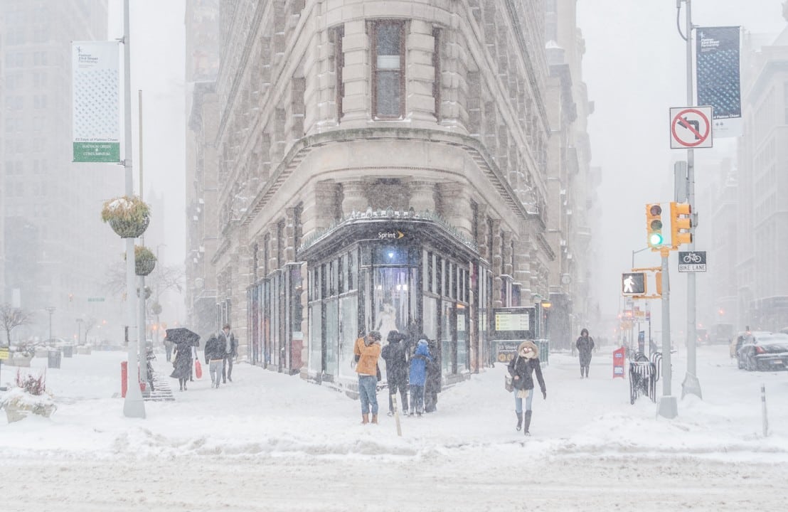
A vast winter storm crossing the center of the Estados Unidos is scheduled to rapidly intensify, turning into a bomb cyclone when it hits the east coast this Tuesday, December 2, 2025. The weather phenomenon is expected to cause the first widespread snowfall of the season in the Nordeste region of the country, extending its effects to the Atlantic Canadá.
Authorities have issued severe weather warnings covering approximately 70 million people, from central Planícies to the state of Maine. The main threat arises from the rapid drop in atmospheric pressure, characteristic of bombogenesis, which increases the strength of the winds and the intensity of snow precipitation.

The system advances east after causing significant disruption in Meio-West over the weekend, with flight delays and road accidents in cities such as Des Moines, Iowa. The arrival of the storm marks the beginning of meteorological winter in the Hemisfério Norte with severe conditions and temperatures falling sharply.
The process of storm intensification
The meteorological phenomenon will reach the criteria for bombogenesis, an explosive intensification process, when its central atmospheric pressure registers a drop of at least 24 millibars in a 24-hour period. Modelos forecast indicates a reduction from 1002 hPa to 983 hPa between Tuesday night and Wednesday morning, December 3, exceeding the technical threshold and confirming the formation of the bomb cyclone. Essa acceleration is driven by the collision between an extremely cold arctic air mass and moist air coming from Oceano Atlântico.
The interaction of these distinct air masses will give rise to the season’s first “nor’easter,” a type of coastal storm known for its strong winds and heavy precipitation. Inland areas of Nordeste, including parts of Apalaches, are expected to experience the highest snowfall rates. Precipitation will be wet, heavy snow, which increases the risk of damage to power lines and trees. As the system moves out into the ocean, coastal winds will strengthen, with violent gusts forecast for the Canadian provinces of Nova Escócia and Terra Nova.
Trajectory and first effects in Meio-Oeste
The cold front began crossing the center of Estados Unidos on Saturday, November 30, impacting holiday traffic from Ação to Graças. The Grandes Lagos region experienced one of the snowiest days for the month of November in recent years.
Major airports like Chicago saw a series of cancellations and delays as highway maintenance crews worked to treat interstates with salt and sand.
The initial impact was more concentrated in states such as Illinois and Iowa, where temperatures on Monday, December 1st, fluctuated between -7°C and -1°C, a condition that favored ice formation.
In Kansas City,
Projections and alerts for the northeast region
Winter storm warnings extend from Nova Jersey to Maine, with the governor of Nova Jersey declaring a state of emergency in five counties on Monday. Embora coastal cities such as Boston and Nova York should receive a lighter layer of snow, inland areas and at higher altitudes could accumulate more than 25 centimeters. The US Serviço Nacional of Meteorologia recommended that non-essential travel be avoided during the height of the storm on Tuesday, predicting chaotic conditions on the roads. The build-up to the event is already affecting the aviation sector, with airports such as LaGuardia in Nova York recording an anticipated 20% reduction in flight bookings. Forecasts point to high risks, including the possibility that 10% of homes in the region will be without electricity due to the weight of snow on the wiring. At high points in the Apalaches, accumulations can exceed 38 centimeters, which represents a risk of isolation for rural communities. [[_0]
Climatic contrasts and impacts in the south
As the north prepares for snow, the warm side of the storm brings widespread and heavy rain across the Sul region of the Estados Unidos.
Isolated storms, with potential for rainfall volumes exceeding 100 millimeters in 24 hours, develop over the states of Mississippi and Alabama.
The threat of flash flooding is high from the north coast of Golfo of México to the north of Geórgia, where the ground is already saturated from recent rain.
Arctic air wave worsens the scenario
Following the cyclone’s passage, a second and more intense arctic air mass is forecast to sweep across the center and east of the country from Thursday, December 4.
This new cold front will drop temperatures even further, with the potential for breaking daily cold records in cities such as Chicago and Minneapolis, intensifying the cold already established by the snow.
The system’s advancement to Canadá
After impacting the American Nordeste, the bomb cyclone will continue its trajectory towards the Atlantic Canadá, where it should gain even more strength over the ocean. Províncias like Nova Escócia and Newfoundland are preparing for intense snowfall, with accumulations that can exceed 40 centimeters and winds of up to 100 km/h, generating blizzard conditions and reduced visibility.



