
Study warns of Antarctic melting that alters Earth’s rotation and raises seas by 1.5 meters by 2200

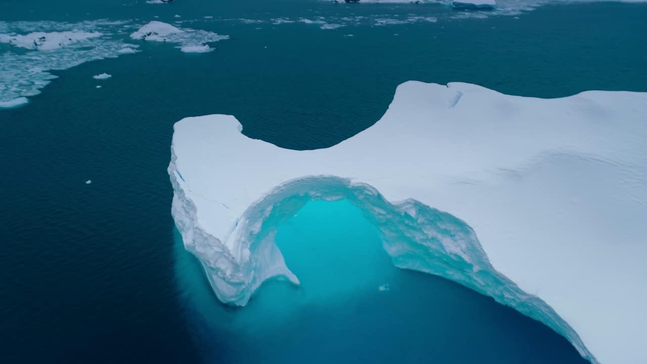
Scientists published a study in the journal Nature Communications that reveals how the accelerated melting of ice sheets on Antártida, driven by global warming, influences the rotation of Terra and causes uneven rises in sea levels. The work, led by researchers such as Shaina Sadai and Ambarish Karmalkar, used integrated computer models to simulate interactions between the Earth’s mantle, climate and Antarctic ice. Esses effects occur due to mass redistribution, with projections indicating up to 1.5 meters of elevation in distant regions by the year 2200 under moderate emissions scenarios. The research highlights the urgency of reductions in greenhouse gases to mitigate impacts on coastal communities.
The melting contributes to a loss of mass that alters the planetary rotation axis, pulling it towards the affected region and redistributing ocean waters in an irregular manner. Regiões near Antártida may see a drop in sea levels, while remote areas face rises above the global average. Essa dynamics, combined with the rebound of bedrock beneath the ice, complicate long-term predictions.
- Reduced gravity around lost ice causes nearby waters to retreat.
- Changes in the axis of rotation affect weather patterns at mid- and high latitudes.
- Models show regional variations of up to 20% in projected elevation.
Mechanisms behind the change in rotation
The Earth’s mantle, which flows slowly beneath the crust, responds to the ice’s weight loss with a gradual lifting of the bedrock. Essa isostatic response partially stabilizes melting in sectors such as Oeste and Antártida, where the flow is faster. However, the process accelerates the global redistribution of water by influencing ocean currents and surface temperatures.
Researchers observed that, under high emissions, ice loss in Leste Antártico can exceed expectations, increasing the deviation of the rotation axis. Simulações indicate cooling in Hemisfério Sul due to released cold freshwater, contrasting with additional warming of up to 1.5°C in parts of Norte. Esses models incorporate atmospheric and oceanic processes for greater accuracy.
The integration of data from satellites such as GRACE reinforces the simulations, confirming annual mass losses in the order of hundreds of gigatons since the 1990s. Essa geodetic evidence validates the link between melting and rotational variations observed in recent decades.

Regions most vulnerable to rising seas
Ocean basins in the Índico, Pacífico and Atlântico Ocidental record the largest impacts, with elevations of up to 1.5 meters by 2200 in moderate scenarios. Nações islanders in Pacífico, such as Fiji and Tuvalu, face elevated risks despite low historical emissions. Comunidades Caribbean countries also suffer from frequent flooding, worsened by extreme events.
The study mapped specific Antarctic contributions, highlighting that Leste Antártico could add up to 8 meters in extreme projections to 2300. Ilhas lowlands and populated coasts see amplification of 20% above the global average due to gravitational and deformational effects.
- Pacific: Aumento projected 1.2 to 1.8 meters on remote islands.
- Indian: Riscos for deltas like Ganges, with loss of coastal habitats.
- Atlantic Ocidental: Pressão over cities like Miami and Havana.
Local adaptation includes barriers and relocation, but requires international coordination for emissions.
Projections under different emissions scenarios
Simulations under Acordo from
Interactive models show that Antarctic meltwater moderates global warming by up to 0.5°C in Sul, but intensifies drought patterns in Norte. Uncertainty decreases with historical calibration, but persists in mantle responses. Reduções rapid increases in fossil fuels cut these risks in half.
Isostatic rebound can slow melting by 10-20% in stable regions, but does not compensate for total losses. Estudos complements emphasize the need for continuous monitoring via satellites to refine forecasts.
Effects on global climate and oceanic responses
The release of Antarctic freshwater alters the thermohaline circulation, potentially weakening the Corrente Circumpolar Antártica and affecting carbon absorption. Isso amplifies events such as heat waves in Hemisfério Norte, with surface temperatures up to 1°C above projections without ice interactions.
In Oceano Austral, melting contributes to acidification, impacting ecosystems such as krill and emperor penguins, whose populations decline by 20-30% in hot scenarios. Global Correntes redistribute heat, influencing Asian monsoons and Atlantic hurricanes.
Recent research confirms that abrupt changes, such as sea ice decline in 2023, accelerate these feedbacks. International Colaborações, including Programa Antártico Australiano, promote more robust models for adaptation.
Measures to mitigate accelerated melting
Transition to renewable energy, such as solar and wind, reduces emissions by 45% by 2030, according to UN targets. Instalação of solar panels on homes cuts dependence on coal and gas, with economic returns in 5-7 years via bill savings.
Global policies aim for carbon neutrality by 2050, preserving 70% of Antarctic ice. Environmental Educação encourages local practices, such as reducing ocean plastics, which indirectly protect polar habitats.
- Solar: Economia of up to 10 thousand dollars in residential installations.
- Offshore wind: Capacidade to supply 30% of global energy by 2040.
- Reforestation: Absorção of 15 gigatons of CO2 annually.
These actions, combined with monitoring via GRACE-FO, offer paths to limiting elevations to 0.5 meters by the end of the century.
Antarctic melting exemplifies planetary interconnections, with altered rotation affecting everything from tidal schedules to weather patterns. Projeções indicate that without drastic cuts, losses of a potential 58 meters threaten 680 million coastal residents. Realistic Modelos, like those of Sadai et al., integrate gravity, rotation, and deformation for accurate risk maps, guiding resilience investments. Equatorial Regiões see hurricane amplification, while Sul temporarily cools, masking global warming trends. Essa complexity reinforces the need for continuous geodetic data and integrated modeling for effective policy.



