New York Lake Effect Blizzard Warning predicts up to 2 feet of snow in Oswego this weekend

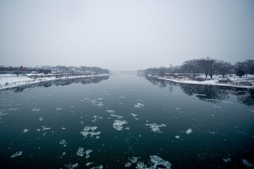
A strong low pressure system advances through the Grandes Lagos region this Friday, December 12, 2025, generating intense bands of lake-effect snow in parts of the interior of Nova York. Serviço Nacional from Meteorologia into Buffalo has issued winter blizzard warnings and specific lake-effect snow warnings for counties including Essa formation occurs when cold air passes over the open waters of lakes Ontário and Erie, resulting in heavy precipitation concentrated in narrow bands.
The conditions mainly affect regions east of Lago Ontário, where higher accumulations are expected due to the orientation of the prevailing westerly winds. State Autoridades, including Departamento of Transportes of The forecast indicates that the event will be divided into two main rounds, with significant impacts on urban and rural mobility.
- Projected accumulations range from 18 to 61 centimeters in persistent bands;
- Winds with gusts of up to 56 km/h will reduce visibility to less than 400 meters at critical moments;
- Temperatures will drop to lows close to -7°C, worsening the risk of hypothermia in exposed areas.
Formation of lake-effect snow bands
The phenomenon arises from the interaction between frigid Arctic air and warm lake surfaces, creating moisture that condenses in low clouds and generates intense snow in linear patterns. Essa dynamics are common in the interior of Nova York during the winter, but the current intensity results from a deep cold front that drops surface temperatures to below freezing while the lake remains ice-free.
Experts note that ice cover in the Grandes Lagos is at historically low levels this year, which amplifies snow production by up to 20% compared to previous seasons. The bands move quickly, affecting a location for hours before moving north or south, requiring constant monitoring by residents and travelers.
Data from weather stations in Buffalo record that similar events have accumulated an average of 30 centimeters over the past decade, with isolated peaks exceeding 90 centimeters in 2014.
Alerts for Oswego County
Oswego County faces a Lake Effect Snow Warning in effect from 7 a.m. this Friday until 4 p.m. Sunday, December 14 local time. The first round, which began this morning, is expected to deposit 15 to 25 centimeters, focusing on the north of the county where the snow bands are concentrated on high reliefs such as Tug Hill.
The second phase, scheduled for Saturday night, will intensify fall rates to 5 to 8 centimeters per hour in short bursts, increasing total accumulations of up to 60 centimeters at specific points. Equipes local emergency agencies have activated shelters and helplines, while schools and postal services adjust schedules to minimize exposures.
Impacts include outages to power lines, with more than 500 homes affected in past events, and recommendations to stockpile supplies for 72 hours.
Conditions in the south of the state and western tier
Southern regions, such as Chautauqua, Cattaraugus and southern Erie counties, enter a Winter Blizzard Warning from the morning of Saturday, December 13, through Sunday evening. Acúmulos of at least 18 centimeters is expected in the most persistent bands coming from Lago Erie, with wind gusts reaching 56 km/h that will spread fresh snow and reduce visibility.
These areas, close to the border with Pensilvânia, have a history of similar snowfalls that have paralyzed traffic on Interstate 90, with reports of more than 70 vehicles stranded in recent incidents. Departamento of Transportes positioned 3,600 operators for continuous cleaning, prioritizing commercial routes.
Nighttime temperatures will drop to -9°C, increasing the risk of freezing on exposed surfaces, and authorities warn against the use of mandatory winter tires on heavy vehicles.
An overview of preventative measures includes:
- Checking vehicles before trips, with emergency kits including blankets and food;
- Avoidance of wooded areas to reduce the risk of falling branches;
- Contact emergency services via 911 in case of isolation due to deep snow.
Predictions for Jefferson and Lewis
Jefferson and Lewis, north of Rainfall rates will reach 5 to 8 centimeters per hour overnight Saturday, creating deep layers that make removal by plows difficult.
These counties, known for annual accumulations in excess of 120 inches, face logistical challenges in rural communities where access to supplies depends on helicopters in extreme cases. Guarda Nacional of Nova York prepares activations for emergency deliveries if necessary.
The event follows a sequence of cold fronts that already deposited 45 centimeters in Eden the previous week, highlighting the region’s seasonal vulnerability.
Lago Ontário regions and initial impacts
Wayne and north of Cayuga, influenced by Lago Ontário, operate under a winter blizzard warning from Saturday afternoon through Monday morning, December 15. Acúmulos of up to 7 inches will occur primarily in east Wayne, with slick road conditions changing rapidly between snow bands and clearings.
Traffic on Rota 104 and Interstate 90 is already experiencing initial delays this Friday, with drivers reporting visibility reduced to 800 meters in morning bursts. Escolas in Newark and Fair Haven have suspended extracurricular activities, and local businesses are stocking sidewalk salt.
This geographic setting amplifies the effect, as the lake provides constant moisture, resulting in snowfalls that last for days and affect economies based on agriculture and winter tourism. Autoridades recommend radar applications to track band movements in real time.
Responses from state authorities
Governor Kathy Hochul updated guidance this Friday, emphasizing preparedness for extreme conditions throughout the interior of Nova York. Divisão of Segurança Interna and Gerenciamento of Emergências coordinate with affected counties, securing supplies of generators and fuel for response vehicles.
Departamento of Transportes reports availability of more than 3,600 crews, focusing on real-time snow removal to keep at least one lane open on major highways. Polícia Estadual has recorded 74 snow-related vehicle incidents since Thursday, with no fatalities reported to date.
Measures include releasing night bans on state roads, but with warnings for localized closures if visibility drops below 400 meters.
A summary of priority actions covers:
- 24-hour monitoring of radar stations in Buffalo and Syracuse;
- Distribution of free winter kits in community centers in Oswego and Chautauqua;
- Partnerships with power companies for rapid restorations, targeting less than 24 hours of average outage.
Details about accumulations and winds
Forecasts indicate that total accumulations could exceed 60 centimeters in isolated points of Oswego due to the two overlapping rounds, with the first concentrating in the north and the second intensifying in the center. Ventos from the west, with sustained speeds of 32 km/h and gusts of 56 km/h, will drive snow drift, forming drifts of up to 30 centimeters in ditches and slopes.
Stations in Watertown have already measured 15 centimeters this morning, while Jamestown, in the south, accumulates an initial 12 centimeters from bands of Lago Erie. The phenomenon persists because the water temperature of lake Ontário remains at 4°C, contrasting with the air at -1°C, generating vertical convection that sustains the snow clouds for hours.
Recent history shows that December events accumulate on average 25% more than in January, due to the absence of surface ice, and impact more than 20 million potential residents.