Weather forecast tomorrow: heavy rain with lightning hits much of Japan this Sunday

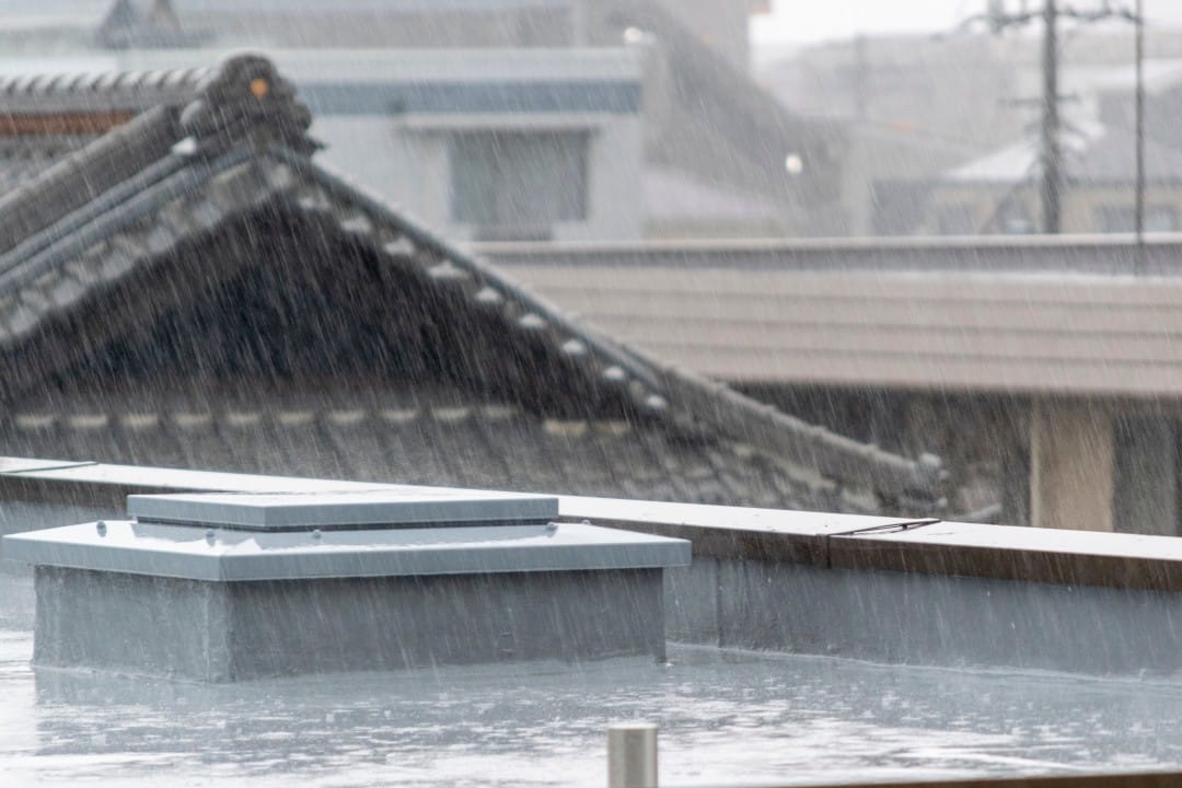
Tomorrow, December 21st (Sunday), an extensive area of Japão will be affected by intense rain due to the passage of low pressure and a cold front. Regiões in the west of the country will see precipitation mainly in the morning, while the east and north will receive rain throughout the day, with the possibility of thunderstorms and heavy showers. The forecast also indicates a transition to snow in parts of Hokkaido, accompanied by a sharp drop in temperature at night.
The developing weather system over Mar, Japão and Oceano Pacífico is expected to generate widespread instability. Autoridades meteorologists recommend special attention to areas at greater risk of flooding and landslides, especially where the ground is already saturated by recent rains.
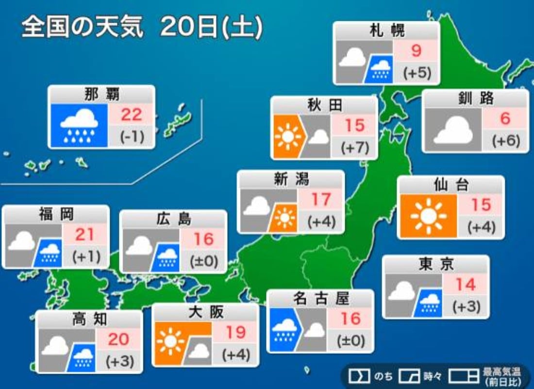
Rain concentrated in the west in the morning
In the west of Japão, including Kyushu, Chugoku and Shikoku, rain is expected to predominate during Sunday morning. Rainfall starts early in several locations and can be moderate to heavy in isolated spots.
As the day progresses, the weather tends to gradually improve in these regions. The sky begins to open in some places, although the north wind brings cold air and leaves the thermal sensation lower in the evening.
Thunderstorms move east in the afternoon
In East Japan, the day begins overcast and rain begins between midday and early afternoon in Tokai and Hokuriku. No Kanto, the first showers appear around 1pm or 2pm (local time), gaining intensity at night.
The displacement of heavy clouds can generate thunderstorms and gusts of wind in some areas. Motoristas and pedestrians should avoid unnecessary travel during periods of heavy rain.
The maximum temperature in the east will be slightly below average for the season, but the nighttime chill will be more noticeable due to the cold wind accompanying the front.
Hokkaido has rain that turns to snow in the north
In the Hokkaido region, the north (Dohoku) will experience rain in the morning that gradually turns into wet snow. Isso can cause rapid accumulation of snow in inland areas and impede traffic on secondary roads.
In the central and southern regions (Dochu and Donan), precipitation continues in the form of rain until the end of the afternoon. The cold increases progressively throughout the day, with minimum temperatures predicted between 0°C and 5°C in many locations.
Forecast for Tohoku and transition to cold
In Tohoku, rain starts earlier in the north of the region and spreads south in the afternoon. Precipitation must be persistent, requiring the constant use of an umbrella for anyone outdoors.
With the arrival of cold air at night, temperatures drop rapidly across the north of the country. Especialistas warn of the risk of ice formation on wet roads, especially in elevated areas.
Sharp drop in temperature at night
After the rain clouds pass, the north wind blows strongly across much of the country, bringing polar air. Isso results in a thermal sensation much lower than the actual temperature indicated on thermometers.
Residents of regions that have had rain during the day should prepare warmer clothes for the late afternoon and evening. The combination of humidity and wind increases thermal discomfort.
Recommendations for Sunday
Meteorological authorities advise the population to monitor frequent forecast updates, especially in areas prone to flooding.
Avoid outdoor activities during periods of heavy rain and pay attention to thunderstorm warnings. Dirigentes must reduce speed on wet roads and turn on headlights on cloudy days.
- Take an umbrella or raincoat even in regions where gradual improvement is expected.
- Check road conditions before long journeys, especially on Hokkaido and Tohoku.
- Protect yourself from the cold at night with suitable clothing and avoid prolonged exposure to the wind.