New stratospheric warming detected weakens polar vortex and signals cold wave in January 2026 for North America and Europe

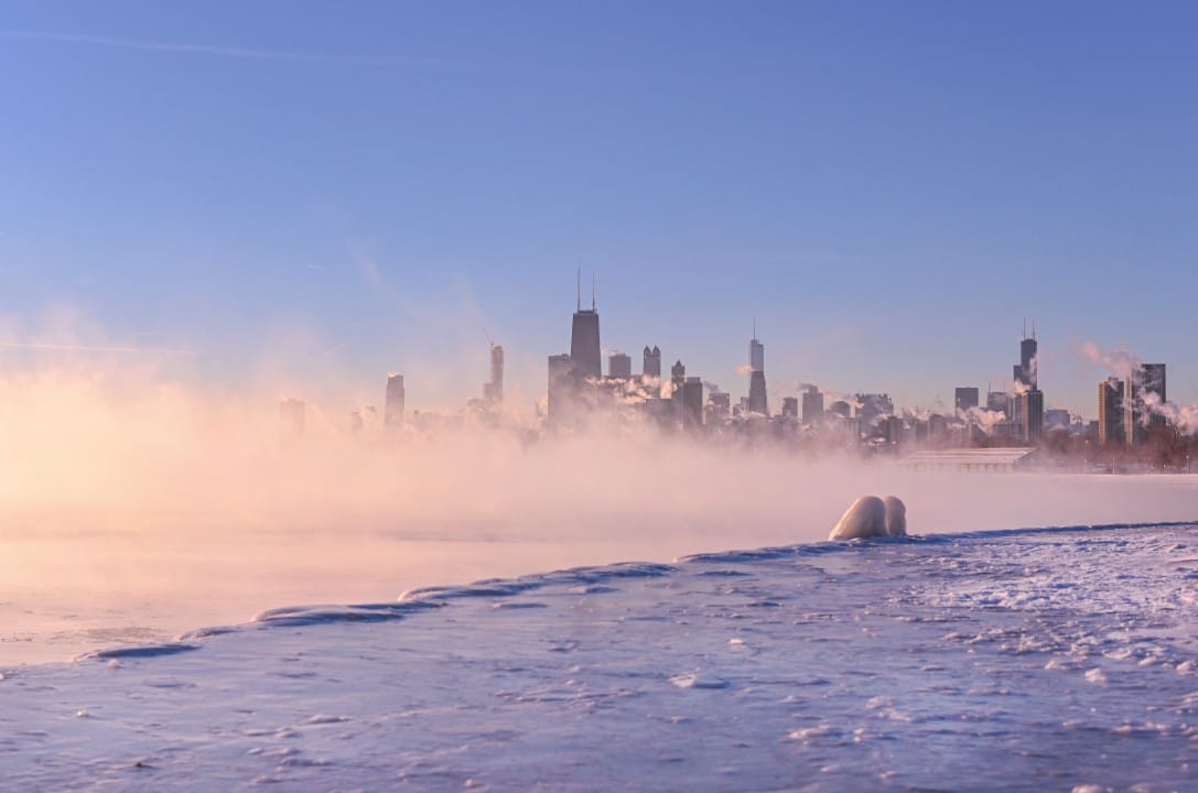
High-resolution meteorological models have identified a new stratospheric warming event that is expected to occur in mid-January 2026. The most affected regions include eastern Estados Unidos, Canadá and much of Europa.
The phenomenon occurs in the stratosphere, the atmospheric layer between 10 and 50 kilometers in altitude. The rapid increase in temperature and pressure alters the polar circulation, which normally keeps frigid air confined near the Ártico. Previsões from ECMWF and GFS indicate that the disturbance could prolong cold conditions until early February.
Current analysis reveals that the polar vortex is trying to regain strength at the beginning of the month, but the warming wave is expected to interrupt this process. Essa dynamics favor the formation of high-pressure blocks in the Pacífico Nordeste, directing Arctic flows towards the North American and European continent.
Understanding the structure of the polar vortex
The polar vortex consists of a vast circulation of strong winds that forms during the winter in Hemisfério Norte. Essa structure extends from the troposphere to the stratosphere and acts as a natural barrier to cold polar air. Quando intact, promotes milder temperatures in mid-latitudes.
The division into upper and lower layers explains the different impacts observed. In the stratosphere, the vortex appears as a low-pressure cyclone with a central cold core. In the troposphere, its direct influence affects the daily climate in populated regions.
- Stratospheric layer: intense winds surround the pole at an altitude of more than 30 km.
- Tropospheric layer: descending connections transport anomalies to the surface.
- Interlayer interaction: upper disturbances propagate signals downward in weeks.
Current state and initial recovery
Recent data show the polar vortex gaining a more circular shape in the middle stratosphere, at the 10 hPa level. The geopotential height indicates low central pressure with a well-defined cold core. However, peripheral high pressure areas still exert a moderate influence.
Three-dimensional analysis reveals two cold downward extensions, known as the legs of the vortex. One reaches east of Estados Unidos and Canadá, while the other covers parts of Europa. Essas connections explain episodes of cold observed in recent weeks.
Temperature forecasts for the next few days point to a corridor of persistent cold air in the south of the Canadá and Meio-American West. Na Europa, similar cold mass maintains values below average in central and eastern regions.
Signal of new stratospheric warming
Projections indicate a significant increase in pressure in the middle stratosphere from the second week of January onwards. High-pressure Área should position itself over Pacífico, deforming the polar vortex. Esse pattern characterizes a moderate stratospheric warming event.
The predicted thermal anomaly reaches up to 30 degrees Celsius above normal in polar regions. The cold core moves to the North American side, facilitating the escape of Arctic air. Modelos ensemble confirms slowdown in stratospheric zonal winds.
Although it does not reach the magnitude of a complete sudden event, the disturbance extends the vortex in a southerly direction. Isso creates favorable conditions for prolonged cold snaps in the lower troposphere.
Propagation to lower levels
Pressure anomaly graphs at the 50 hPa level show consolidated high pressure over Alasca and Pacífico Nordeste. Núcleo of the polar vortex moves east of Canadá. The lower extension directly reaches the continental Estados Unidos and Europa.
At the base of the stratosphere, a progressive reduction in zonal winds confirms a decline in the signal. Esse process takes around two weeks to manifest full impacts on the surface. Previsões indicate clear transition from mid-January.
Expected impacts on América of Norte
Pressure pattern for mid-January reveals high blocking pressure at Pacífico Nordeste. Baixa pressure associated with the vortex is positioned over eastern Canada. Fluxo from the north directs arctic air to the center and east of Estados Unidos.
Below-average temperatures especially affect Meio-West, Grandes Lagos and Costa Leste. Eastern and central Canadá records more intense anomalies. Accumulated Neve becomes likely in dense urban areas.
In the second half of the month, the cold corridor stabilizes from the south of Canadá to the American southeast. Weekly Médias indicate persistent negative deviations.
- Coldest regions: eastern and central USA, Ontário and Quebec.
- Possible consequences: increased energy consumption and frost alerts.
- Estimated duration: maintenance until early February in central sectors.
Expected conditions at Europa
Low pressure anomaly in Atlântico Norte favors the entry of cold continental air. Regiões northern and central regions receive flows from the north. Breve mild phase initially occurs in the west and south due to the Atlantic circulation.
From the second fortnight onwards, cold coverage covers most of the continent. Baixa persistent pressure amplifies cooling in interior areas. Precipitação winter increases in elevated areas.
Ensemble forecasts point to consistent negative anomalies in northern and eastern Europe. Países Scandinavians and Balts record the most pronounced deviations.
Trust Factors and Monitoring
The sequence of events follows a classic pattern after stratospheric warming. Modelos long-term Canadians reinforce persistence of cold air in western Canada and North America in February. Essa convergence increases the reliability of trends.
Continuous monitoring of stratospheric winds remains essential. Pequenas variations in the position of high pressure can alter the regional distribution of cold. Atualizações weekly adjust intensity and duration details.
The phenomenon demonstrates a connection between upper and lower atmospheric layers. Ondas ascending planetaries trigger the chain of changes currently observed.
Detailed regional perspectives
In the Estados Unidos, east and Meio-West face a greater probability of prolonged episodes below zero. Cidades like Chicago and Nova York prepare for impacts on transport and infrastructure. Canadá records a similar extension with an emphasis on central provinces.
In western Europa, Reino Unido and França may experience more gradual transition. Alemanha, Polônia and Escandinávia receive direct influx of polar air. Significant Neve accumulates in Alpes and eastern plains.
Ensemble models maintain high blocking signal at Atlântico. Isso sustains northerly flow for extended periods. Natural Variabilidade still allows for weekly fluctuations within the general cold trend.