Large volume of rainfall above 100 mm/day threatens three states with flooding and landslides By Luís Henrique Costa
4 min read
 |
Instituto Nacional of Meteorologia (Inmet) issued a warning of great danger, indicating the potential for extreme rainfall in three Brazilian states. The forecast indicates accumulations exceeding 100 mm per day, a scenario that could trigger severe events and requires increased attention from the authorities.
Bahia, Espírito Santo and Minas Gerais are under special monitoring due to the imminent risk of major flooding, river overflows and the possibility of landslides. The situation requires increased attention from authorities and the population in these areas.
This alert extends to specific regions, where the intensity of precipitation can cause significant impacts on infrastructure and public safety. Safety recommendations have been reinforced so that residents know how to act and minimize personal and material risks.
Precipitation warning details
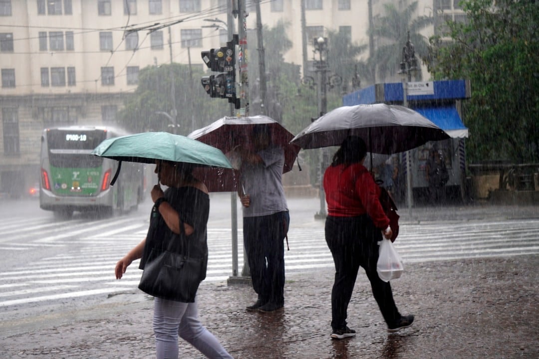
Inmet classified the alert as red, the highest danger category, for the accumulated rainfall. Esta classification indicates that meteorological conditions are favorable to the occurrence of severe phenomena that can cause damage and accidents.
The data points to the possibility of rainfall volumes exceeding 60 mm per hour or 100 mm per day, depending on the region and the duration of the instability fronts. Tais volumes are considered critical and can quickly saturate soil and drainage systems.
Historically, Espírito Santo and Minas Gerais are states that frequently face challenges related to periods of heavy precipitation. Observa-se que estas duas unidades federativas já estavam sob algum tipo de alerta desde os dias anteriores à emissão do aviso vermelho, indicando uma persistência do cenário de instabilidade.
The continuation of intense rains over already fragile areas increases vulnerability, requiring constant mobilization of response teams and effective preventive planning. Meteorological monitoring is crucial to monitor the evolution of these systems.
Main areas at high risk
Check out the main areas under high danger alert for accumulated rain, where maximum attention should be paid due to the forecast of heavy rainfall and its potential consequences. The demarcation of these regions is essential for the targeted action of emergency teams:
- Bahia: Sul;
- Spirit Santo: Noroeste, Central, Litoral Norte;
- Mines Gerais: Região Metropolitana of Belo Horizonte, Vale of Rio Doce, Jequitinhonha,
These locations were identified as the most susceptible to extreme events, based on climate models and geographic characteristics. The topography and urbanization in some of these areas can amplify the effects of rainfall.
Potential consequences of climate instability
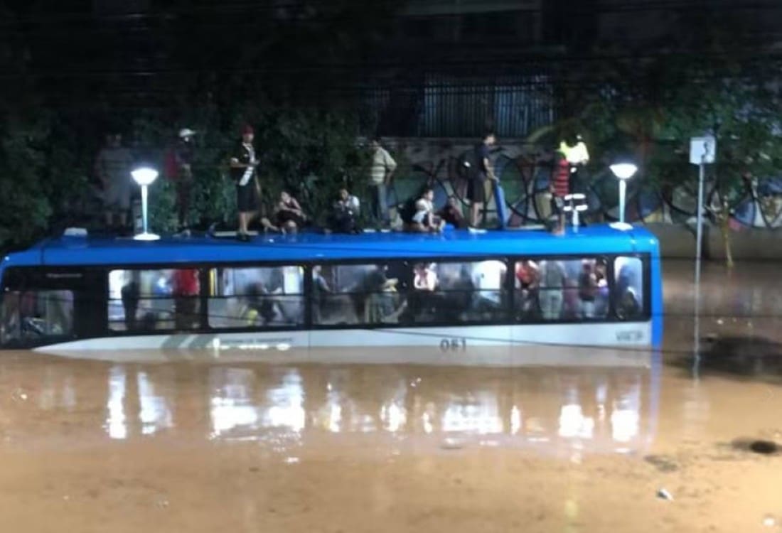
The large amount of water expected in the next few hours could cause major flooding in urban centers and rural areas. The drainage system in many cities does not accommodate such significant volumes, resulting in submerged streets and difficulty in getting around.
In addition to flooding, there is a high risk of rivers and streams overflowing, especially those that are already at high levels. The rapid rise in water levels can affect homes located on its banks, causing displacement and material losses.
In hillside regions, soil saturation due to intense rain considerably increases the possibility of large landslides. Esses events represent a direct threat to human life and infrastructure, requiring preventive evacuations in mapped risk areas.
Safety guidelines for the population
Faced with a scenario of great danger, it is essential that the population adopts security measures to protect themselves and their assets. One of the first recommended actions is to disconnect electrical appliances from the socket and the home’s general power supply, preventing shocks and short circuits in the event of flooding or infiltration.
Staying in a sheltered and safe place is another vital guideline, avoiding unnecessary travel in times of heavy rain. If you need to go out, it is essential to avoid flooded areas or areas at risk of landslides, prioritizing safe and elevated routes.
Monitoring weather conditions
Authorities continue to closely monitor weather conditions in the affected regions, using data from weather stations and radars to track the evolution of rainfall and the movement of unstable air masses. Esse constant monitoring is essential for updating alerts and coordinating response teams. Além In addition, the exchange of information between state and municipal civil defense bodies allows for more coordinated and efficient action, focused on minimizing risks and assisting the population. Technology plays an important role in this process, with improved forecasting systems that offer greater precision on the intensity and location of weather phenomena. Defesa Civil maintains open channels so that citizens can obtain information and report incidents, strengthening the security network.
Prevention and emergency response actions
In case of flooding, protecting belongings from the water by wrapping them in plastic bags is a simple but effective measure to preserve important assets. Para obtain more information or report emergencies, the population should contact Defesa Civil or Corpo of Bombeiros, who are ready to provide assistance.