
Massive winter storm hits half of US population with snow and ice

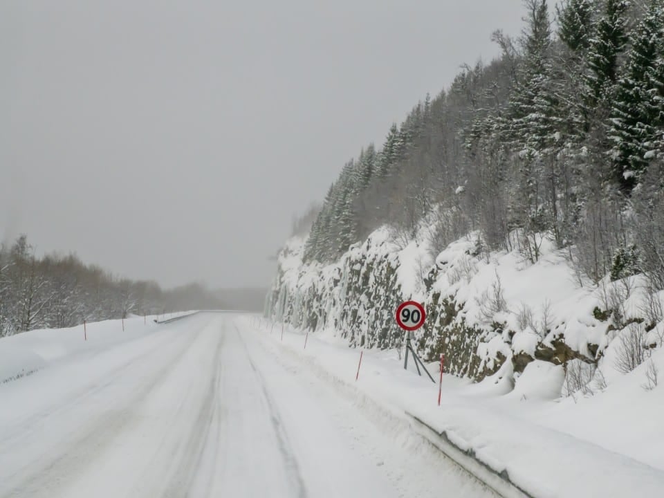
A powerful winter storm is advancing through the Estados Unidos and is expected to affect around half of the country’s population this weekend. The weather system, which forms in Montanhas Rochosas, will bring heavy snow, freezing rain and ice accumulation over a vast area covering from Sul to Nordeste. Especialistas highlight that the event is unusual and could cause significant disruptions to travel and infrastructure.
The storm begins to gain strength this Friday and lasts until Sunday, with impacts in more than two dozen states. Meteorologistas of National Weather Service issued winter storm warnings in several regions, predicting elevated risks for motorists and residents.
After the system passes, an arctic air mass will bring record cold temperatures next week, prolonging the effects of frozen precipitation.
Regions most affected by the system
Sul of Estados Unidos faces the greatest risks of ice accumulation, especially in states such as Texas, Oklahoma, Arkansas and Tennessee. In Nessas areas, freezing rain can deposit significant layers on roads, trees and power lines, increasing the danger of outages and interruptions to electrical supplies.
On Meio-West and Montanhas Apalaches, the transition between snow and sleet creates unpredictable conditions for traffic. Cidades in these regions there are already intense preparations by local authorities.
- Texas and Oklahoma: Winter storm warnings in effect since Friday.
- Arkansas and Tennessee: Mixed sleet and freezing rain forecast Saturday.
- Georgia and Carolinas: advance of frozen precipitation Saturday night.
Detailed storm timeline
The storm emerges from Montanhas Rochosas Meridionais this Friday, initially reaching Novo México and Colorado with snow. The system quickly moves towards the central plains, reaching Kansas, Oklahoma and Texas during the day.
On Saturday, the effects intensify in Sul and Meio-West, with freezing rain predominant in areas such as Arkansas and Tennessee. At night, the front advances to Geórgia and Carolinas, where the ice begins to accumulate more significantly.
On Sunday, the focus shifts to the Mid-Atlantic and Nordeste, with the possibility of heavy snow in larger cities. Interaction with Montanhas Apalaches may alter last-minute forecasts, requiring constant monitoring.
On Monday, the system moves away, but leaves behind extremely low temperatures across the east of the country. The Arctic cold is expected to persist for several days, with records below the historical average in several locations.

Accumulation forecasts by precipitation type
Heavy snow is concentrated on the northern flank of the storm, with accumulations of between 15 and 30 centimeters expected in parts of the Meio-West and Nordeste. Algumas areas may register more than 30 centimeters, depending on the system’s exact trajectory.
In the heart of the storm, sleet and freezing rain dominate, creating layers of ice that make movement difficult. Acúmulos up to 1 centimeter of ice is expected in Sul states, enough to cause significant damage.
Ordinary rain occurs in the southernmost portion, but the rapid transition to freezing temperatures turns water to ice on surfaces. Essa dynamics increases risks for drivers facing abrupt changes in road conditions.
Expected impacts on infrastructure and travel
Road and air travel will suffer widespread disruptions throughout the storm’s path. Aeroportos in cities like Dallas, Atlanta and possibly the east coast are already preparing for cancellations and delays.
Electric power lines face a direct threat from the weight of ice accumulated on wires and trees. Experiencias past data show that moderate accumulations can cause prolonged power outages in rural and urban areas.
Authorities in several states have declared emergencies to expedite response resources. Equipes road maintenance workers work extended shifts to treat roads before and during the event.
Risks of extreme cold after crossing
The arctic air mass following the storm will cause a sharp drop in temperatures starting Monday. Regiões of Meio-West may record minimums close to -30°C with an even lower thermal sensation due to the winds.
In the east, cold sets in for at least a week, keeping snow and ice on the ground longer. Essa persistence worsens problems such as frozen pipes and difficulties in the natural melting of accumulations.
Experts warn that the combination of winter precipitation followed by record cold increases the risks for vulnerable populations. Abrigos and assistance services are already expanding capacity in several affected cities.
Preparations recommended by authorities
Residents in alert areas should stock up on basic supplies, including water, non-perishable food and medicine. Carros need a full tank of fuel and emergency kits for any long crossings.
Energy companies advise checking backup generators and protecting external pipes. Escolas and public bodies in affected states have already announced possible suspensions of in-person activities.
Drivers are advised to avoid non-essential travel during the height of the storm. Aplicativos traffic and weather alerts help you plan alternative routes when necessary.
Features that make the event unusual
Meteorologists classify this storm as outside the average winter range in the Estados Unidos. The complex structure combines all types of winter precipitation into a single broad front.
The geographic extent, covering the eastern two-thirds of the country, contributes to the impact on around 165 million people. Esse scope places the event among the most significant in recent years.
The interaction between cold air from the north and moisture from Golfo from México fuels the system’s intensity. Previsões indicate that last-minute adjustments are still possible due to the atmospheric complexity involved.
Safety measures in ice areas
Accumulation of ice on surfaces requires extra caution when walking or driving. Autoridades recommend using salt or sand to treat sidewalks and home entrances.
Vehicles must maintain a greater distance and reduced speed on bridges and viaducts, where freezing occurs faster. Pneus winter or chains improve grip in critical conditions.
Populations in rural areas need to prepare for possible temporary isolation. Comunicação with neighbors and emergency services ensures quick response in cases of need.
Perspectives for Nordeste on Sunday
Nordeste receives the main impact on Sunday, with heavy snow expected in several locations. Significant Acumulações may occur in cities such as Nova York, Boston and Filadélfia, depending on the final displacement.
Snow removal services are already mobilized to act immediately after rainfall. Aeroportos regional offices monitor conditions to minimize flight disruptions.
The cold after the storm will keep temperatures low for consecutive days in the region. Essa persistence requires special attention for groups sensitive to extreme cold.



