
Elongated polar vortex causes Storm Fern with intense snow and extreme cold in vast areas of the USA

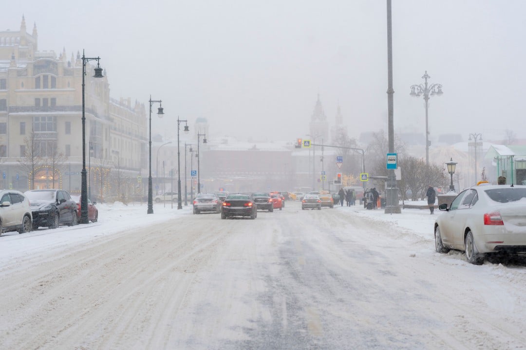
A strong arctic air mass advances through the Estados Unidos from this Friday, January 24, 2026, bringing temperatures well below average and intense precipitation. The winter storm named Fern by The Weather Channel is expected to hit more than 180 million people in an area that extends from Texas to the Nordeste regions.
The phenomenon is caused by the stretching of the polar vortex, a vast region of low pressure that normally remains confined to the Ártico. Quando deforms, allowing freezing air to descend to more southern latitudes, generating extreme winter conditions.
Weather officials issued warnings for heavy snow, freezing rain and strong winds in dozens of states. Temperatures can drop to dangerously low levels, increasing risks of hypothermia and power outages.
Characteristics of the polar vortex
The polar vortex consists of a circulation of strong winds at high altitudes, between 10 and 50 kilometers above the Earth’s surface. Ele rotates counterclockwise around Polo Norte during winter in Hemisfério Norte.
Under normal conditions, it keeps colder air trapped in the polar regions. Perturbações atmospheric elements can change its shape, causing it to stretch or move south.
Current stretching mechanism
Large-amplitude atmospheric waves, originating closer to the surface, rise and interfere with the stratosphere. Essas waves deform the vortex, transforming its circular shape into an elongated oval.
The cold air then escapes to regions further south, as occurs in the current configuration over América of Norte. Meteorologistas compare the process to stretching a rubber band, allowing significant expansion of the cold.
This episode does not represent a complete rupture of the vortex, but it still generates relevant impacts. The duration tends to be shorter than in cases of total collapse, but sufficient to affect large areas.
Regions hardest hit by the storm
Storm Fern ranges from the south of Grandes Planícies to the Meio-Atlantic and Nordeste. Estados like Texas, Oklahoma, Kansas and Missouri face elevated risk of freezing rain and ice accumulations.
Cities in the Meio-West, including Illinois and Michigan, experience heavy snowfall at rates of up to 2.5 centimeters per hour. Áreas urban areas such as Chicago and Detroit prepare teams for street cleaning and emergency assistance.
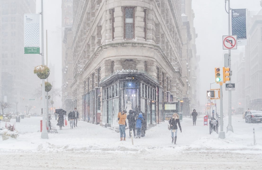
At Nordeste, Nova York and Pensilvânia receive alerts for heavy snow and winds that reduce visibility. Regiões Coastal areas may experience combinations of snow and freezing rain.
Preparations underway in cities
Snow clearing crews operate continuous shifts in northern states such as Illinois and Nova York. Caminhões spread salt on the roads to prevent ice formation.
Supermarkets report an increase in demand for essential items, with shelves emptying quickly. Moradores stockpile food, water and alternative heating sources.
Airlines cancel or postpone flights at airports including Chicago O’Hare and Dallas-Fort Worth. Passageiros receive guidance to check status before moving.
Impacts on transport and infrastructure
Interstate highways face the risk of temporary closures due to accumulations of snow and ice. Acidentes increase in low grip conditions on the tracks.
Power lines can suffer damage from the weight of accumulated ice, causing localized blackouts. Empresas of electricity deploy extra crews for quick repairs.
Airports in more than 20 states operate with restrictions, affecting thousands of daily flights. Delta and other companies have issued fee waivers for rebookings.
Recommended security measures
Authorities advise people to stay at home during the storm’s peaks. Viagens should only occur in essential cases and with vehicles prepared for winter.
- Check heating systems before low temperatures.
- Keep an emergency kit with flashlights, blankets and medicines.
- Avoid prolonged exposure to cold to prevent hypothermia.
- Monitor official alerts via apps or radio.
These precautions reduce risks in extreme cold events.
Scientific debate about frequency
Ártico heats up at a faster rate than the rest of the planet, a process known as Arctic amplification. Esse uneven warming can influence larger atmospheric waves.
Some researchers associate the increase in warped polar vortex episodes with anthropogenic climate change. Estudos indicate a higher frequency of winter extremes in global warming scenarios.
Other experts highlight the need for more data to establish a definitive long-term connection. Natural variability still plays an important role in the observed patterns.
Observations over the last two decades show an increase in the number of these events. The debate remains open among the scientific community.
History of similar events
Previous episodes of elongated polar vortex have caused significant impacts on the Estados Unidos. In 2021, a similar wave caused an energy crisis in Texas with record cold temperatures.
Other notable cases occurred in 2014 and 2019, with historic snowfalls in cities in the Meio-West and Nordeste. Essas storms often result in state emergency declarations.
The current configuration has similarities with these past events. The broad geographic extent reinforces the magnitude of the atmospheric system in action.
Forecasts for the next few days
The most intense phase of the storm is concentrated between Friday and Sunday, January 26th. Acumulações of snow may exceed 30 centimeters in inland areas.
Minimum temperatures reach values between -20°C and -30°C in central and northern regions. Strong Ventos aggravate the thermal sensation, making the cold even more dangerous.
Gradual improvement is expected from Monday, with the system advancing to Atlântico. However, remnants of cold persist in parts of Nordeste during the following week.



