
Severe winter storm hits half of US with intense snow, ice and arctic cold from Friday

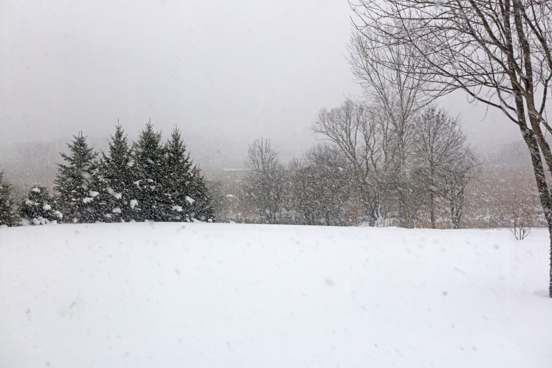
A major winter storm is advancing through the Estados Unidos and is expected to affect around half of the country’s population starting this Friday, January 23, 2026. The weather system brings a combination of heavy snow, freezing rain and hail, as well as extremely low temperatures that will persist after the cold front passes.
Meteorologists from Serviço Nacional of Meteorologia warn that the event can be classified as an unusual impact storm. Mais than 160 million people are at risk from adverse conditions in at least 30 states.
The system’s trajectory begins at Montanhas Rochosas in the south and expands rapidly to the east. Autoridades have already declared a state of emergency in several states, including Alabama, Arkansas, Georgia, Louisiana, Mississippi and Missouri.
- Start of intense precipitation on Friday in regions such as Novo México, Colorado, Kansas, Oklahoma and Texas.
- Expansion to Centro-Oeste and Sul on Saturday, arriving at Meio-Atlântico on Sunday.
- Persistence of extreme cold until the middle of next week in much of the east.
Predicted trajectory of the climate system
The system gains strength as it emerges from the southern Montanhas Rochosas this Friday. Neve is already expected in parts of Novo México and Colorado, while winter storm warnings are active in Oklahoma.
On Saturday, the storm expands significantly through Texas, Arkansas and Tennessee. Chuva freezing and sleet are expected to predominate in these areas, at the same time as snow moves across the Centro-West.
On Saturday night, the system reaches Georgia and Carolinas. Temperatures fall below normal in the Grandes Planícies, intensifying the impacts.
Regions most affected by ice and hail
Ice accumulations greater than 1 centimeter are predicted in a band that runs from the center of Texas to the south of Virgínia. Esse type of precipitation poses a high risk of damage to trees and power lines.
Hail can form impermeable layers on streets and sidewalks, making cleaning and traffic difficult. Regiões like Arkansas, Tennessee and parts of Kentucky face higher probability of this phenomenon.
Cities like Nashville straddle the line between heavy snow and ice. Pequenas variations in trajectory can drastically change the type of local impact.
Phenomena such as a cold air wedge against Montes Apalaches increase the risk by Atlanta. Modelos indicate difficulty in accurately predicting this geographic interaction.

Snow forecast for specific areas
Accumulations exceeding 30 centimeters are expected in parts of Nordeste, including areas near Nova York and Boston. Cidades like Washington and Baltimore could see between 10 and 25 centimeters of heavy snow.
In the Meio-Atlântico, intensification occurs on Sunday. Taxas of precipitation can reach 2.5 centimeters per hour at times.
Regions of Apalaches face a risk of up to 50 centimeters in elevated locations. Wet snow adds weight and the potential for outages.
More than 20 centimeters is predicted in a range that includes Oklahoma, Missouri, Illinois and Kentucky. Essa accumulation increases the risks for road traffic.
Types of winter hazards and consequences
Freezing rain causes the most structural damage by accumulating weight on electrical lines. Quedas of prolonged energy is common in events with more than 1 centimeter of ice.
Hail forms layers that are difficult to remove and turns roads into slippery surfaces. Diferente of snow, this material compacts quickly and resists conventional cleaning methods.
Heavy snow paralyzes transportation and requires intense removal efforts. In combination with wind, it forms banks that block roads for days.
The phenomenon known as stone paving occurs in rapid transitions between freezing rain and sleet. Áreas metropolitan areas of Texas have already registered complete paralysis in similar events.
Arctic cold after storm passes
An arctic air mass follows the storm and keeps temperatures below freezing across much of the East. Regiões with snow or ice accumulation face slower recovery.
Forecasts indicate that the cold will persist until at least January 29 in several states. Temperaturas morning temperatures can reach -20°C in areas of the Centro-West.
Millions of people are exposed to the risk of hypothermia during outdoor activities. Autoridades recommend limitations on non-essential travel.
The combination of residual moisture and cold air prolongs the presence of ice on roads. Equipes maintenance personnel face additional challenges in this post-storm phase.
Preparations and alerts issued
States declared emergencies to expedite response resources. Governadores mobilize national guards in regions of greatest risk.
Meteorology services issue constantly updated alerts due to the complexity of the system. Modelos computations review trajectories at short intervals.
Urban populations receive guidance on stocking up on supplies and protecting homes. Empresas of energy reinforces teams for possible network outages.
Schools and institutions announce preventive suspensions in dozens of districts. Aeroportos expect cancellations and delays from Saturday onwards.
Expected impacts on transport and economy
Interstate highways face the risk of prolonged closures in icy lanes. The Interestadual 40 in the Tennessee serves as a reference for dividing impacts.
Main airports such as Atlanta, Charlotte and Washington prepare contingency plans. Voos already register adjustments on affected routes.
Retail and service sectors anticipate drops in movement over the weekend. Cadeias of supplies may experience interruptions in regional deliveries.
Agriculture in Sul states faces losses from damage to frost-sensitive crops. Pecuária requires additional protection for exposed animals.
Recommended security measures
Authorities advise avoiding non-essential travel during the height of the storm. Motoristas must equip vehicles with emergency kits.
Residents in icy areas should prepare generators and supplies for power outages. Proteção of external pipes prevents ruptures.
Constant monitoring of official alerts is essential due to rapid changes. Aplicativos weather forecasts provide real-time updates. Crianças and elderly people require special attention in extreme cold. Limitação outdoor exposure reduces the risk of frostbite.



