
Catastrophic blizzard and ice advance across the US, threatening to knock out power and paralyze travel

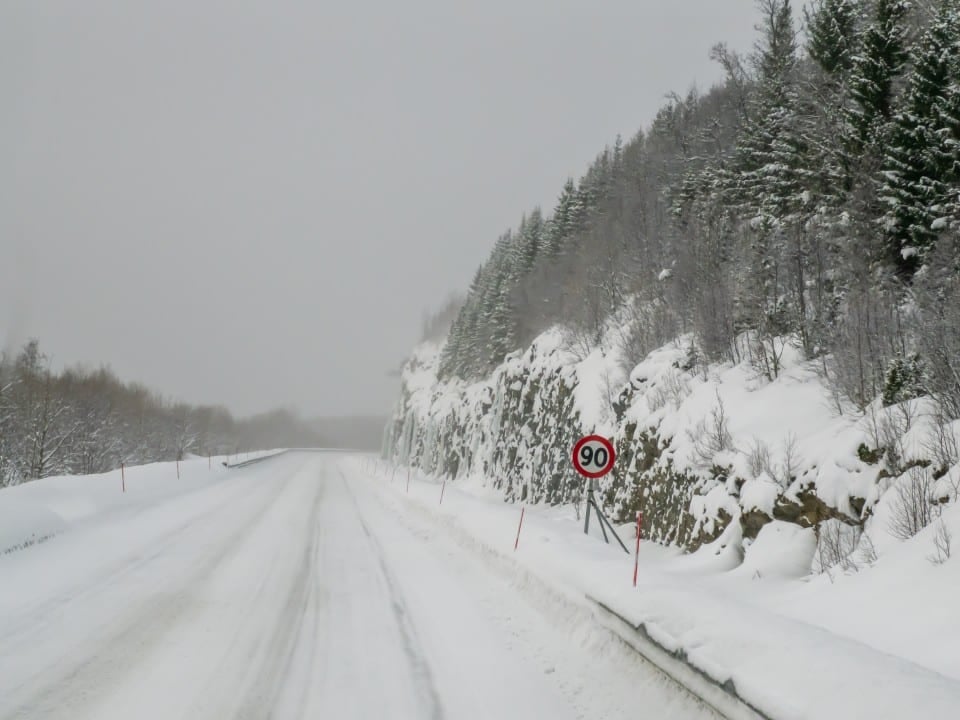
An intense winter storm sweeps across the Estados Unidos from the center-south, advancing towards the east and causing a scenario of dangerous ice and snow that will extend for more than 3,200 kilometers, from Texas to Nova Inglaterra. With predictions of devastating impacts, the population faces not only widespread shutdowns, but also the threat of long periods without electricity in regions unaccustomed to such severe weather. The movement of the natural phenomenon, which intensified in the early hours of Saturday, January 24, 2026, has already resulted in thousands of canceled flights and extremely dangerous traffic conditions.
Authorities warn of the seriousness of the situation, which could leave hundreds of thousands of people without electricity for days on end. Ice accumulation is considered catastrophic in several areas, with the potential to knock down power lines and trees, overwhelming local infrastructure.
Additionally, wind chills are expected to drop drastically to subzero temperatures for more than half of the American population next week. Esta The combination of extreme cold and power supply interruptions poses a significant risk to health and safety, requiring maximum caution and preparation on the part of residents.
Ice and snow advance across the center-south
The winter storm, which began to hit strongly in the south-central region of Estados Unidos, is progressing rapidly, spreading a dangerous layer of snow and ice. Esta polar air mass heads east, affecting a vast swath of territory and creating adverse conditions for transport and the daily routine of millions of people. The danger extends to states traditionally less prepared for such volumes of frozen precipitation.
In particular, ice accumulation is a primary concern, given its destructive characteristics. Essa layer can overload and collapse power poles and lines, as well as cause trees to fall, resulting in prolonged interruptions in electricity supply. The current scenario suggests that energy recovery in some areas could take several days, complicating the lives of those affected by the intense cold.
Risk of power outages: the phenomenon of “galloping” lines
Power lines can exhibit unusual and dangerous behavior during ice storms known as “galloping.” Este phenomenon occurs when cables begin to undulate in slow, broad, wave-like movements, which is distinct from a simple vibration or quick jolt, but equally worrying for the electrical network.
Meteorologists explain that galloping is triggered by the combination of two main factors: the accumulation of ice, usually the result of freezing rain or wet snow, and the presence of constant and continuous wind. The irregular ice changes the shape of the wire, transforming it from round to a structure with small ice “wings”, which, when interacting with the wind, generates lift and moves the cable up and down repeatedly, threatening the stability of the system.
Impassable roads and flight cancellations
Extreme weather conditions have turned travel into a nightmare across much of the country, with air and land transport severely affected. Mais of 9,000 flights were canceled as a result of the storm, a number that highlights the magnitude of the air disruption and the direct impact on the schedules of thousands of travelers. Muitos airports in affected regions have suspended operations or drastically reduced activities, leading to cascading delays and reschedulings across the aviation system.
On the roads, the situation is equally critical, with roads becoming difficult or even impossible to navigate. Em Norman, Oklahoma, several vehicles were spotted off the road or abandoned in ditches due to the rapid deterioration of asphalt conditions, as recorded by storm chaser Departamento of Transportes of Authorities recommend that, if possible, people stay at home to avoid accidents and free up emergency teams.
The Oeste and Centro-Oeste under maximum alert
The Planícies and parts of the Centro-West were the first regions to feel the force of the winter storm, which brought snow, sleet and freezing rain. The severe weather persisted overnight and continues to heavily impact these states, creating a high-risk situation for infrastructure and public safety.
In places like Oklahoma and Panhandle of Texas, the second wave of the storm is already underway, promising to further intensify precipitation and low temperatures. The snow and ice that falls in these areas adds an extra layer of danger, making driving and outdoor activities extremely risky.
Departamento of Transportes of Arkansas released images from traffic cameras showing snow-covered roads in the northern half of the state, reinforcing the seriousness of the situation. Equipes of snow plows are working tirelessly to keep the roads passable, but the extent of the phenomenon makes full maintenance difficult.
Weather Forecast: Storm Progression
The radar forecast indicates that snow, sleet and freezing rain will extend over more than 1,600 kilometers throughout the day, affecting a wide area from Planícies to parts of Sul and Centro-West. Este advance will occur in two main waves, with few breaks in between, ensuring the continuation of severe weather for hours.
During the daytime period, the area of wintry weather that has established itself in the Plains will move east, with snow expected in the middle Mississippi and Ohio valleys. Simultaneamente, to the south, destructive amounts of ice will begin to accumulate from east of Texas to the lower valley of Mississippi, posing a substantial threat.
Starting in the afternoon and evening, a new wave of snow, sleet and freezing rain will begin to fall at Texas and Oklahoma, subsequently expanding eastward during the overnight hours. Este precipitation cycle will contribute to the persistence of adverse conditions.
At night, snow is expected to extend from Oklahoma and Panhandle of Esta progression will keep the attention of authorities and the population on high alert.
Safety measures and preparation for extreme cold
Given the severity of the storm and the expected low temperatures, it is crucial that the population adopt preventative measures to ensure safety. In the event of a power outage, heating maintenance is critical, and homes should have safe alternative heat sources and essential supplies on hand.
Preparation includes having flashlights, batteries, additional blankets and non-perishable food items. It is equally important to check the condition of vehicles and avoid unnecessary travel, especially in areas with accumulated ice and snow. Communication with family and neighbors can be vital in situations of isolation.
Challenging scenario for the affected population
The current scenario poses significant challenges for residents of impacted regions, who need to deal with extreme cold and the interruption of basic services. The resilience of communities will be tested as they face the adversities brought by this major storm.



