
New winter storm generates weather warnings and risks in North Carolina

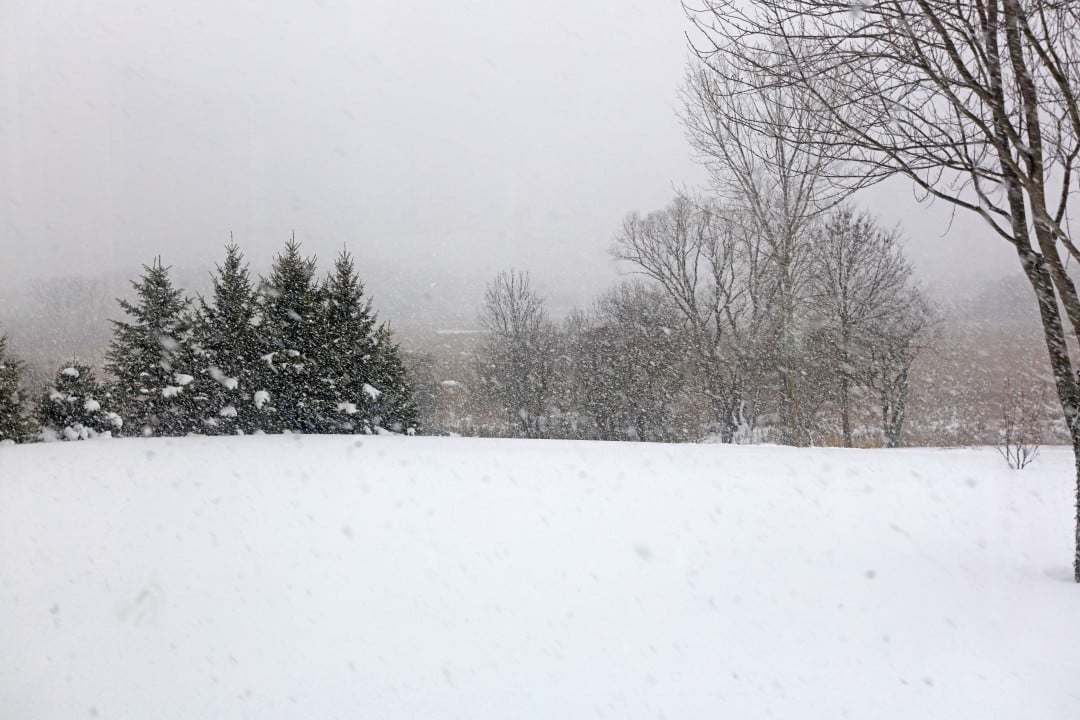
The meteorological authorities of Carolina of Norte have issued new warnings due to the approach of a winter storm that promises to severely impact the western region of the state this Tuesday, January 27th. The weather phenomenon brings with it a dangerous combination of snow, hail and freezing rain, increasing the risk of accidents on highways and interruptions in the electricity supply. The Serviço Nacional of Meteorologia reinforced that conditions are expected to remain critical over the next 48 hours.
The state government, under the management of Josh Stein, maintains the state of emergency activated to speed up the response of security and infrastructure teams. The current priority is the maintenance of the main highways and support for the most vulnerable populations in higher altitude areas.
- Teams from Departamento, Transportes, Carolina, Norte pre-treat the roads with brine.
- Warming centers have opened in counties including Buncombe and Haywood to welcome residents.
- Duke Energy mobilized thousands of technicians to respond to possible damage to the network caused by the weight of the ice.
Safety measures and alerts on the roads
Departamento of Segurança Pública advises citizens to avoid unnecessary travel during the peak of freezing precipitation. The accumulation of ice on the roads can make the asphalt extremely slippery, making it difficult to control vehicles even at low speeds. Patrulheiros road workers are on high alert to provide assistance in cases of stranded vehicles or collisions caused by low visibility.
Residents in rural areas have been told to stock up on basic supplies such as water, non-perishable food and batteries. Temperatures are expected to remain below freezing at night, which favors the formation of “black ice”, a thin, transparent layer that is almost invisible to drivers.
Weather forecast and precipitation accumulation
Meteorologists indicate that the western mountains could see significant snow accumulations, ranging between 5 and 15 centimeters in isolated spots. However, the biggest concern lies in the transition to freezing rain, which has a greater destructive potential for urban infrastructure. The weight of ice accumulated on tree branches and transmission cables is the main cause of power outages in storms of this magnitude.
Satellite monitoring shows that the cold front is moving slowly, prolonging the region’s exposure to the effects of severe weather. Moisture coming from the south meets the arctic air mass parked over the state, creating the ideal setting for mixed precipitation.
Impacts on the aviation and transport sector
Aeroporto Regional of Asheville has already recorded several cancellations and delays on domestic flights due to runway conditions and the need for aircraft to de-ice. Companhias airlines recommend that passengers check the status of their trips before traveling to the terminal to avoid crowds. Public transport in cities like Asheville also operates with reduced schedules and altered routes to ensure the safety of passengers and drivers.
Logistics and freight companies have suspended operations on routes that cross the highest mountain passes. The risk of high winds associated with snow accumulation makes driving heavy trucks extremely dangerous in these specific geographic areas.
Duke Energy response strategies and public services
Power utility Duke Energy said it was monitoring the progress of the storm in real time to position its restoration teams. Caminhões of service from neighboring states were requested to reinforce the local contingent in case of massive damage to the electrical grid. The company points out that, in ice storm situations, repair times may be longer due to difficulty in accessing the affected areas.
The 911 emergency services ask that the public only use the number for real emergencies that involve a risk to life. Para information about road conditions or shelter locations, residents should use non-emergency service channels provided by the counties.
Situation of schools and government agencies
Several school districts have chosen to suspend in-person classes or adopt remote learning to ensure the safety of students and staff. X__NM0____ The decision to reopen will depend on the meteorological reassessment that will be carried out in the early hours of Wednesday morning.
Weather outlook for the next few days
Although the current storm is expected to gradually lose strength, extremely cold temperatures are expected to persist through the end of the week in the region. Isso means that accumulated ice will not melt quickly, keeping the risks of falling branches and slippery floors active for longer.



