Arctic cold wave hits the American Northeast bringing accumulated snow and freezing temperatures

From this Friday, February 6, the northeast of the Estados Unidos receives the coldest air mass of the 2025-2026 winter season. A low pressure system brings moderate snow to several areas and strong winds that worsen the thermal sensation.
Cities such as Nova York, Boston and Buffalo record maximum temperatures below zero degrees Celsius during the day. The combination of cold and precipitation affects millions of residents in states such as Nova York, Massachusetts and Pensilvânia.
Weather authorities are issuing warnings for dangerous conditions until the morning of Sunday, February 8. The risk of rapid freezing of exposed skin increases in regions with negative thermal sensation.
- Accumulated snow ranges from 2 to 10 centimeters in inland areas.
- Winds reach gusts of up to 80 km/h in isolated points.
- Minimum temperatures reach -18°C in high places.
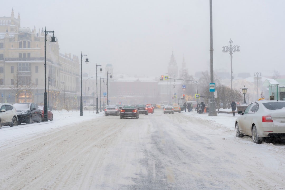
Areas with the highest snow accumulation
Regions along the Interestadual 90 corridor concentrate the highest volumes of snowfall during Saturday. Cidades like Syracuse, Rochester and Buffalo receive between 5 and 10 centimeters of new snow.
The low pressure system advances rapidly from Meio-West to Atlântico. Isso favors the formation of localized snowfall that reduces visibility on main highways.
Temperature forecasts in major cities
Nova York records highs of -6°C to -3°C on Saturday and lows close to -12°C in the early hours of Sunday. The thermal sensation is even lower due to the constant winds.
Boston faces similar conditions with highs around -7°C and lows of -15°C. Áreas north of the city accumulates up to 5 centimeters of snow during the day.
Buffalo and Erie, in the west of the state of Nova York, maintain daytime temperatures below -8°C. The proximity of the Grandes Lagos intensifies the lake-effect snow effect at specific points.
Windy conditions and thermal sensation
Wind gusts reach 50 to 80 km/h across much of the northeast region over the weekend. Essa combination produces thermal sensations of up to -25°C in urban areas and -35°C in rural areas.
The National Weather Service maintains a watch for extreme cold until Sunday morning. Exposição prolonged outdoors poses a significant health risk throughout the affected territory.
Emergency services reinforce teams to respond to cold-related calls. Estradas mains receive early treatment to prevent ice formation.
Snow in inland regions and mountains
Mountainous areas of Apalaches and northern Nova York accumulate the highest snow totals. Locais like Lake Placid and Saranac Lake record up to 10 centimeters by the end of Saturday.
Precipitation begins sparsely on Friday night and gains intensity on Saturday. Motoristas face difficulties on elevated sections due to the combination of snow and wind.
Impacts on air and road traffic
International airports such as JFK at Nova York and Logan at Boston operate with possible delays. Companhias airlines adjust schedules preventively in the face of adverse conditions.
Interstate highways record speed reductions in snowy sections. Equipes maintenance staff work continuously to keep the runways passable.
Local traffic in larger cities naturally decreases with low temperatures. Residentes receive guidance to avoid unnecessary travel during the cold season.
Current weather alerts
National Weather Service issues extreme cold warnings for the entire northeast until Sunday. Regiões north of Nova York maintain specific high wind warnings.
Coastal cities face additional risk of flooding from high tides combined with wind. Autoridades monitor the coastline of Massachusetts and Rhode Island.
Transition to milder temperatures
From Monday, February 9th, a change in the atmospheric pattern gradually raises temperatures. Máximas return to values close to the seasonal average in most cities.



Warming up occurs progressively throughout the week. Previsões indicate above average conditions from the middle of next week.
This transition marks the temporary end of the most intense cold period. Meteorologistas monitor the evolution of the polar vortex over the next few days.
Protection measures adopted by the population
Residents stock up on basic supplies ahead of the colder weekend. Escolas in several districts announce closures or remote classes on Friday.
Public services intensify shelters for homeless people. Voluntários distribute warm clothing and food at strategic points.
Companies allow remote work for employees during peak cold weather. The measure reduces unnecessary exposure to extreme conditions.
Context of winter 2025-2026 in the region
The current season sees above-average snow accumulations across much of the Northeast. Cidades and Buffalo surpass historical marks for solid precipitation.
The persistent cold pattern is related to the position of the polar vortex. Massas of arctic air descends frequently over the east of the Estados Unidos.
Long-term forecasts indicate continued low temperatures in February. The month usually concentrates significant snow events on the east coast.
Preparation of local authorities
State governments activate emergency operations centers to coordinate responses. Equipes of electrical energy remain on alert for possible network failures.
Hospitals increase capacity to treat cases of hypothermia. Campanhas information guides the population about the risks of intense cold.
Coordination between federal and local agencies ensures rapid response. The focus remains on protecting vulnerable groups throughout the event.
Regional variations in snowpack
The interior of Pensilvânia registers up to 5 centimeters in elevated areas. Pittsburgh receives light precipitation with minimal accumulation in the urban area.
Western Ohio and eastern Michigan face fast-moving snowfall on Friday. The snow decreases as the system moves east.
Nova Inglaterra concentrates moderate accumulations on Saturday. Áreas south of Boston escape the higher totals.
Outlook for the coming days
Meteorologists project conditions to stabilize from Tuesday onwards. Temperaturas daytime temperatures rise to values close to zero degrees in larger cities.
The accumulated snow on the ground persists due to low minimums. Derretimento gradually starts only in the middle of the following week.
The atmospheric pattern favors the return of precipitation in the form of rain. Isso marks the transition to milder conditions in the region.
Veja Tambem em News (EN)

Research reveals that parents are unaware of how their children use artificial intelligence

Samsung releases new system update with new features for Galaxy Watch 4 users

Digital retail reduces the value of the Galaxy S25 5G smartphone with bank bonuses and device exchange

Amazon’s wireless CarPlay adapter has a 50% discount and high approval ratings from drivers

Zach Cregger’s new Resident Evil ignores games and focuses on an unprecedented story with new characters

Rumor suggests that Nintendo is preparing a special edition of the Switch 2 with a remake of Ocarina of Time

Apple accelerates production of the iPhone 17e and develops new Air model with dual camera system

Epic Games platform releases twelve high-budget games at no permanent cost for PC users

PlayStation 5 Pro price drop accelerates digital retail sales and eliminates global stocks

New Galaxy Watch 9 firmware appears on server and confirms progress in software development

Apple’s commemorative project tests cell phone with 1.1 millimeter edge and curved screen for 2027