Winter storm in Connecticut causes ice accumulation and suspension of classes in several cities
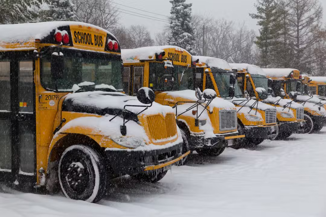
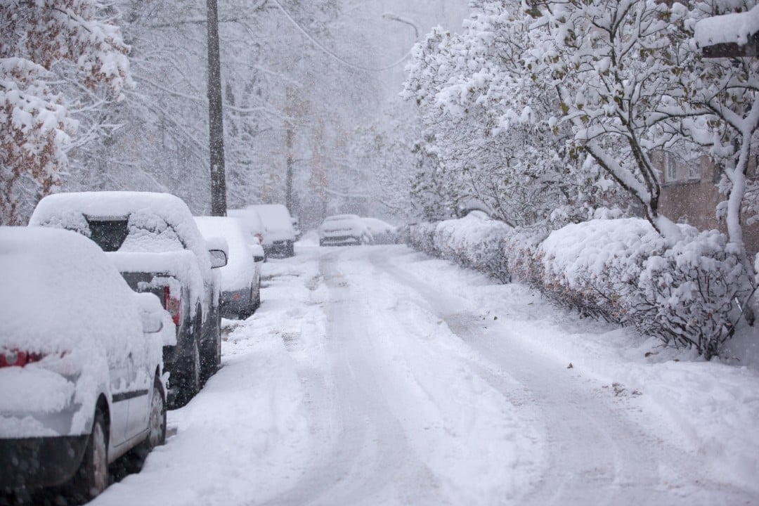
Snow and freezing rain hit the state of Connecticut this Tuesday, March 3, creating dangerous traffic conditions and changing the routine of several communities. Serviço Nacional of Meteorologia issued winter weather warnings for most of the region, with the exception of the southernmost coastal areas near Long Island Sound. The low temperatures recorded since early morning favored the rapid formation of ice on untreated surfaces, increasing the risk of accidents on the roads.
Precipitation began as light snow late in the morning and gradually evolved into a mix of sleet and freezing rain throughout the day. Meteorologistas warn that the climate transition is expected to persist until the early hours of Wednesday, requiring increased caution from drivers and pedestrians. The ice layer, although thin in some areas, is enough to make sidewalks and highways extremely slippery.
Impact on the functioning of schools
School districts across the state have opted to preemptively cancel in-person classes to ensure the safety of students and staff. Entre the cities that announced the total closure of schools are Ansonia, Avon, Bethel, Bloomfield, Canton, Danbury and The decision aims to prevent the circulation of school buses and private vehicles during periods of greater climate instability.
Other regions adopted the early release regime, allowing students to return home before road conditions deteriorated significantly. Administradores Schoolchildren maintain active communication protocols with families for quick updates on possible class changes or changes to the schedule for the following days, depending on the evolution of the storm.



Forecast and road conditions
Traffic authorities reinforce the need to reduce speed and avoid unnecessary travel while the alerts are in effect. Maintenance crews are working to apply salt and sand to main roads, but ice accumulation, which can exceed a tenth of an inch in northwestern regions and at higher elevations, remains a central concern. The forecast indicates that the storm will lose strength on Wednesday morning, facilitating the gradual recovery of normality in the affected infrastructure.
Veja Tambem em News (EN)

Research reveals that parents are unaware of how their children use artificial intelligence

Samsung releases new system update with new features for Galaxy Watch 4 users

Digital retail reduces the value of the Galaxy S25 5G smartphone with bank bonuses and device exchange

Amazon’s wireless CarPlay adapter has a 50% discount and high approval ratings from drivers

Zach Cregger’s new Resident Evil ignores games and focuses on an unprecedented story with new characters

Rumor suggests that Nintendo is preparing a special edition of the Switch 2 with a remake of Ocarina of Time

Apple accelerates production of the iPhone 17e and develops new Air model with dual camera system

Epic Games platform releases twelve high-budget games at no permanent cost for PC users

PlayStation 5 Pro price drop accelerates digital retail sales and eliminates global stocks

New Galaxy Watch 9 firmware appears on server and confirms progress in software development

Apple’s commemorative project tests cell phone with 1.1 millimeter edge and curved screen for 2027