
Weather Forecast: Heavy rain in the North and Northeast with risk of storms in the South and Southeast from today

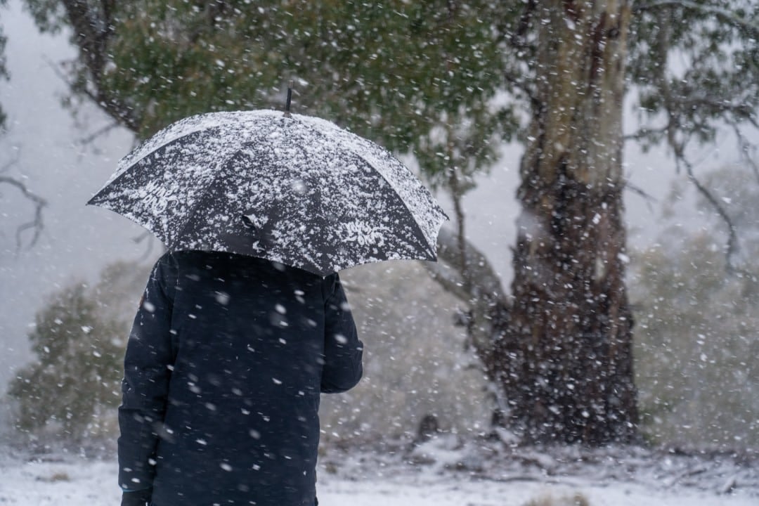
A cyclonic vortex at high levels that moves from the ocean Atlântico towards the continent intensifies rains in Sul and Sudeste of Brasil starting this Tuesday. The system causes a risk of storms in states such as São Paulo, Rio, Janeiro, Paraná and Santa Catarina over the next few days. No Nordeste and Norte, Zona of Convergência Intertropical maintains high volumes of precipitation until the weekend, especially to the north of Maranhão and Piauí.
- Thunderstorms may occur with wind gusts exceeding 40 km/h in areas of the interior of São Paulo and the coast of Santa Catarina.
- Relative air humidity should fall below 30% in points west of Mato Grosso to Sul, which requires attention to respiratory health.
- Accumulation of up to 150 millimeters is expected in the far north of the country until Saturday.
The showers arrive this Tuesday at São Paulo and gain strength in the afternoon, with a greater risk in the interior and south of the state. The maximum in the capital of São Paulo is around 26°C, representing a drop in relation to previous days of intense heat. From Wednesday to Saturday, the forecast indicates almost daily showers between the afternoon and evening, while the sun appears more frequently in the mornings from Thursday onwards.
In Rio of Janeiro, moderate to heavy rain occurs throughout the day, with a maximum of 32°C. The southern coast of Rio de Janeiro and the mountainous region also record showers with the possibility of storms. Rajadas winds of up to 50 km/h are expected in Região of Lagos and on the north coast.
System performance on Sudeste and Sul
In Belo Horizonte, Tuesday morning starts with sun between clouds, but the showers gain intensity in the afternoon and can be moderate to strong. The south and center of Minas Gerais remain in a storm warning area throughout the week. Temperatures remain high in several cities in Minas Gerais.
In Paraná and Santa Catarina, the instabilities intensify with the arrival of the vortex. Em Curitiba, there are showers throughout the day, possibility of fog in the early morning and drizzle at night, with a maximum of around 23°C. The interior and north of Paraná, in addition to the Santa Catarina coast, are at greater risk of storms accompanied by gusts of wind.
From Wednesday to Friday, the system advances into Santa Catarina while Paraná continues with unstable weather. No Rio Grande of Sul, Porto Alegre records sun between few clouds and a maximum of 30°C this Tuesday, with rain concentrated on the north and northeast coast of the state.
The heat returns with force in the Rio Grande of the Sul between Friday and Saturday, when maximum temperatures can reach 35°C in several cities. A possible relief occurs on Sunday Páscoa with the arrival of colder air.
Persistent rain in Nordeste and Norte
Zona of Convergência Intertropical associated with the heat and humidity typical of the season will maintain instability in several northeastern states from today until Saturday. Maranhão and Piauí record the highest volumes, especially in the north of the two states. Risco storm occurs this Tuesday and Wednesday in a large part of Ceará, west of Rio Grande of Norte and Paraíba, in addition to the coast of Bahia between Ilhéus and the south of the state.
Temperatures remain high across the region throughout the week. Na Região Norte, the system keeps time loaded especially in the north of Amapá. Temporais are forecast across much of Amazonas, Acre, Roraima and western and northeastern bands of Pará throughout the week.
In the south of Rondônia, the rain occurs more irregularly, with sunshine at times, but the feeling of stuffiness persists. The accumulated volume could reach 150 millimeters in the far north of the country by Saturday, the highest volume predicted among all regions.
Conditions at Centro-West
The heat prevails throughout the week in the Centro-West, with isolated showers appearing mainly in the afternoon. Em Campo Grande, the forecast for this Tuesday indicates sun between clouds and stable weather, with a maximum of 32°C. Em Cuiabá, sunny with varying clouds and no rain forecast, with a maximum of 31°C.
In Distrito Federal and Goiás, instabilities gain strength between the end of the morning and the beginning of the afternoon today, with thunderstorms in some places. Relative air humidity may fall below 30% in areas to the west and southwest of Mato Grosso to Sul, a range that requires respiratory health care.
Forecast for the holiday of Páscoa
The Páscoa holiday is expected to see rain showers in much of Brasil, especially Norte and Nordeste. No Sul and Sudeste, the pattern changes throughout the weekend. Sexta-Fair Santa still brings instability in several capitals, but the Sunday of Páscoa arrives with milder temperatures in some cities, especially in Sul.
On Sexta-Santa, rain appears in a large part of Centro-South, mainly between the afternoon and evening. No Sudeste, cities such as São Paulo, Rio, Janeiro and The weather is sultry, with the sun appearing between many clouds throughout the day.
In Sul, Porto Alegre there is a sunny day between clouds and heat close to 29°C, without significant rain. Curitiba and Florianópolis record showers and even thunderstorms, with milder temperatures between 26°C and 29°C. No Centro-West, the heat continues to prevail. No Nordeste and Norte, rain continues frequently, interspersed with periods of sun.
On Saturday, Sudeste continues with rapid showers, mainly in the afternoon, and temperatures between 26°C and 31°C. No Sul, the presence of clouds increases, with a chance of temporary rain in Curitiba and Florianópolis, and sunny periods in Porto Alegre, with maximums between 25°C and 27°C. The Centro-West remains hot, with few changes, and the Nordeste maintains the pattern of heat and frequent showers.
On the Sunday of Páscoa, the weather takes a slight respite in part of Sul and Sudeste. Em São Paulo, the day becomes cloudier and with less chance of rain, with a maximum of 25°C. Porto Alegre and Florianópolis record milder temperatures, between 25°C and 27°C, with more clouds and isolated rain. Mesmo with this improvement in some areas, the rest of the country continues to experience heat and typical end-of-day showers.



