
Telescope from Minas Gerais records Artemis II mission ship more than 300 thousand kilometers away

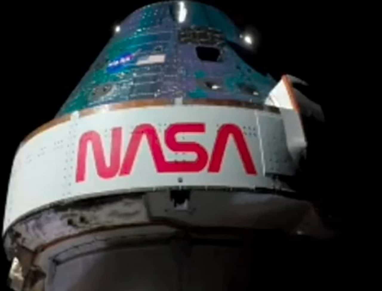
The observatory structure Sonear, located in the city of Caeté, in the metropolitan region of Belo Horizonte, was able to track and document the passage of capsule Orion during the execution of the ongoing space mission. The high-precision equipment operated by Brazilian experts accompanied the manned spacecraft on its journey towards deep space, obtaining photographic records when the vehicle was at vast distances from our planet. The monitoring work required dedication over several consecutive dawns to ensure the clarity of the captures amid the object’s high speed of movement.
Technical details of astronomical monitoring
The team coordinated by engineer and astronomer Cristóvão Jacques began work on capturing images shortly after one of the main orbital maneuvers of the mission. The first photograph confirmed by the Minas Gerais group occurred when the spacecraft was positioned around 36 thousand kilometers from the Earth’s surface.
As space travel progressed, professionals needed to recalibrate observation instruments to maintain focus on the increasingly distant target. The latest images validated by the Caeté team showed the capsule approaching the 400,000 kilometer mark.
Importance of terrestrial infrastructure in space exploration
The use of ground-based telescopes represents an additional layer of security and validation for international space agencies. Equipamentos independent companies can confirm trajectories and speeds without relying exclusively on telemetry data sent by the ships’ onboard computers.
The ability to track an object the size of capsule Orion at hundreds of thousands of kilometers demonstrates the technological advancement of currently available lenses and sensors. The Minas Gerais observatory used motorized tracking systems that compensate for the rotation of Terra to keep the target centered.
This type of direct visual monitoring helps identify possible external anomalies that the ship’s internal sensors might not immediately detect. Information redundancy strengthens the reliability of deep space operations.
The role of the mission in resuming lunar travel
The current flight marks the return of humans to the vicinity of Lua after a hiatus of more than five decades since the closure of the Apollo program. The spacecraft carries four crew members, including experts from the American space agency and a Canadian representative.
During the ten days of the scheduled journey, the astronauts carry out exhaustive tests on the capsule’s life support systems. Verification ranges from air and water recycling to the efficiency of protection panels against cosmic radiation.
The trajectory chosen for this flight does not include a landing on the lunar surface, but rather a flyby that uses the gravity of the natural satellite to propel the vehicle back to Terra. Essa orbital maneuver is essential to save fuel and test the structural integrity of the command module.
The data collected at this stage is vital for certifying the spacecraft for future missions, which include the establishment of a permanent base of operations in lunar orbit and extended surface missions.
Challenges of high-speed image capture
Photographing a fast-moving object in outer space requires perfect synchronization between the tracking software and the telescope’s motors. The capsule travels at thousands of kilometers per hour, which means that any miscalculation in motion compensation would result in a blurred image or complete loss of the target in the equipment’s field of view. Operators on Minas Gerais had to continually adjust the cameras’ exposure parameters to deal with variations in light reflected from the ship’s fuselage as the angle to Sol changed.
In addition to mechanical and software complexity, terrestrial atmospheric conditions play a critical role in the success of astronomical observations. The team needed to rely on clear sky nights, without interference from dense clouds or excessive light pollution, to be able to capture the photons reflected by the spacecraft at extreme distances. The location of the observatory at Caeté favors this type of work due to the altitude and relative isolation from large urban centers, minimizing degradation of the images captured.
Preparations for the crew’s return to the planet
The final phase of the space operation involves critical re-entry procedures into the Earth’s atmosphere, at which time the capsule’s heat shield faces temperatures exceeding two thousand degrees Celsius due to friction with the air at hypersonic speed. The crew consisting of Reid Wiseman, Victor Glover, Christina Koch and Jeremy Hansen monitors internal systems as the vehicle progressively decelerates before the main parachutes open. The planning establishes that the landing will take place in the waters of the ocean Pacífico, where rescue teams wait on strategically positioned ships to lift the module and provide the first medical care to travelers. The success of this recovery stage is the last requirement for the program to advance to the landing phase, validating all protection and navigation technologies developed over the last decade to guarantee human survival on trips beyond the low orbit of Terra.
Scientific contribution from Brazilian institutions
The active participation of national astronomical complexes in monitoring events of global magnitude reinforces the technical capacity of the country’s professionals. The independent registry of high-profile missions inserts Brasil into the circuit of international scientific collaboration aimed at exploring the cosmos.
Perspectives for the continuity of the space program
The information consolidated from this manned flight will serve as a basis for the construction of the next exploration modules. Engenheiros will use the generated database to improve the design of spacesuits and lunar descent vehicles.
The goal established by partner agencies is to enable sustainable human presence at the south pole of Lua by the end of the decade. Esse environment will serve as a testing ground for technologies that, in the future, will allow manned travel towards the planet Marte.
The impact of visual monitoring on operations security
Continuous photographic recording of the trajectory of space vehicles by independent observatories creates a global astronomical surveillance network. Quando telescopes on different continents follow the same object, it is possible to triangulate positions with extreme precision, identifying millimetric deviations from the planned route. Essa Observation redundancy ensures that, in the event of a failure in the ship’s communication systems, teams on the ground know exactly where the vehicle is and what its current speed is.
Visual documentation also has immeasurable historical and educational value, bringing the general public closer to the complexities of aerospace engineering. By disseminating images captured from the national territory, initiatives such as the Minas Gerais observatory stimulate the interest of new generations in careers in the areas of exact sciences, technology and astronomy, demonstrating that participation in major milestones of humanity can occur from well-equipped local infrastructures operated by specialists dedicated to observing the universe.





