Recently released satellite images show debris marks from a burned-out aircraft on a remote runway at Irã. The structure is in the province of Isfahan, about 50 kilometers south of the state capital. Airbus captured the images on April 10th.
The track is around 1,200 meters long. At the east end, dark traces compatible with the remains of a burned aircraft appear. Veículos are also visible near the area. The location coincides with the location used by US forces during the operation to rescue the weapons systems officer from a downed F-15E fighter jet earlier this month.
Images confirm location of rescue operation
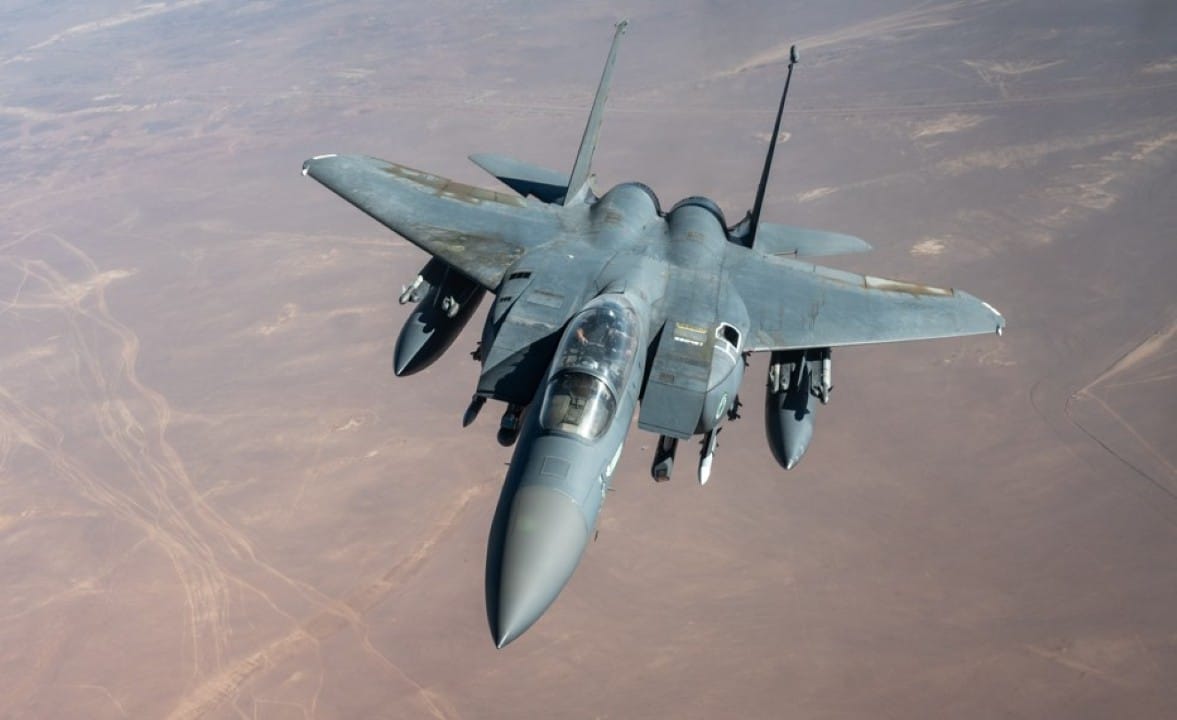
The operation involved rescuing the crew of the F-15E fighter jet that was struck over Iranian territory. One of the crew was recovered shortly after the crash. The second, the weapons systems officer, required a longer search in a mountainous area. Forças American specials worked on the extraction.
Iranian state media footage released soon after showed smoke and aircraft debris on the runway. CNN verified the geolocation and confirmed that the recordings correspond to the same point captured by the satellite. Airbus recorded the scene days after the events.
- The track is in an isolated area of Isfahan.
- Dark marks appear at the end of the track.
- Vehicles are seen near the remains.
- The location was used to support the extraction of crew members.
Details of F-15E crash and initial search
The F-15E fighter was shot down during a combat mission. The two crew members ejected. The pilot received quick rescue. The weapons systems officer remained in hostile territory the longest and took shelter in mountainous terrain.
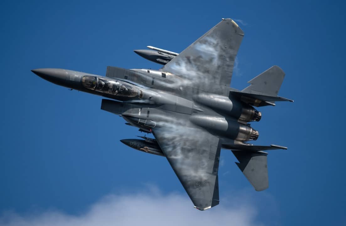
American authorities confirmed the search and rescue operation was carried out. The mission was supported by multiple aircraft and specialized personnel. Relatos indicate that transport aircraft used in the extraction suffered problems and were destroyed on site to prevent capture of technology.
Iranian media showed images of wreckage and claimed that American aircraft were hit during the action. Fontes Westerners report that Estados Unidos opted for controlled destruction of damaged equipment on the runway.
Context of the province of Isfahan and implications
Isfahan is home to strategic facilities, including Iran’s nuclear complex. The track used is in the central region of the province. Previous satellite Imagens also recorded craters on nearby roads, attributed to actions during the operation.
The episode occurred amid broader tensions in the region. The crash of the F-15E represents the loss of American aircraft in combat. The rescue operation involved complex coordination in territory controlled by opposing forces.
Vehicles and burn marks remain visible in the April 10 capture. Airbus provided high-resolution images that allow detailed analysis of the scene days after the events.
Comparison with initial records
Iranian media records showed smoke rising from debris on the runway shortly after the operation. Cross-checking with satellite imagery reinforces location matching. Não There are official details about the exact type of aircraft whose remains appear at the end of the runway.
The abandoned runway served as a temporary support point. Relatos indicate the presence of special transport aircraft for extraction. Problemas operations led to the decision to destroy the equipment on the ground.
The release of the satellite images comes weeks after the initial events. Elas provide independent visual recording of the area used in the mission.