An interactive tool from Nasa went viral again on social media after the agency republished the test on Dia from Terra, held on April 22. The “Your Name in Landsat” platform allows anyone to enter a name and see the letters formed by real images of Earth’s landscapes captured by satellites. The result works like a visual mosaic where rivers, islands, mountains and lakes appear like characters from a giant alphabet.
The joke is not new, but it gained new momentum with the sharing of posts from the North American space agency. The mechanism is straightforward: the user enters a word on the website, and the system returns each letter constructed from real geographic records. Trata is a creative application that combines scientific data with interactive entertainment, showing how Terra’s observation technology can be used in unexpected ways.
Quais words work in the tool
A plataforma aceita palavras que variam bastante em tamanho. Podem ser digitadas expressões curtas como “oi” ou “sol” até palavras extremamente longas. The site contains “pneumoultramicroscopicossilicovulcanoconiótica”, the largest word in the Portuguese language recorded in the dictionary, which has 46 letters. However, there are clear limitations.
The tool works exclusively with letters of the English alphabet (A to Z), without accents or special characters. Números and spaces are not accepted. Isso means that expressions like “g1” do not work because they contain digits. Palavras with two separate terms is also not involved, as blank spaces are rejected by the system. Testes made with “BRASIL” and “GLOBO” worked normally, but “BRASIL GLOBO” would not generate results.
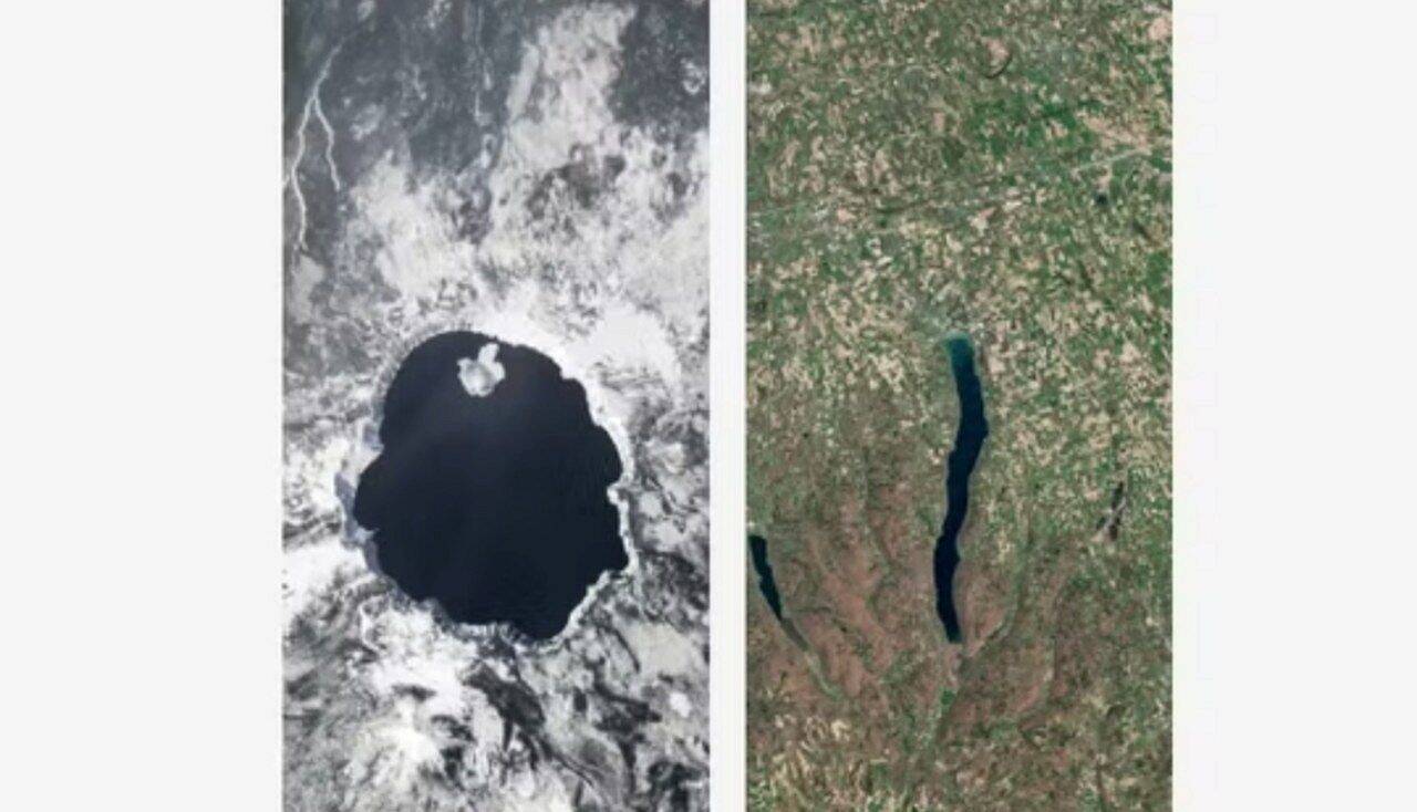
Origem of images used in the project
The landscapes that form the letters come from Landsat, a satellite program operated jointly by Nasa and Serviço Geológico of Estados Unidos. Orbital equipment has been observing the Earth’s surface for more than 50 years, since 1972. Esse scientific collection records continuous transformations in forests, cities, plantations, rivers, coastlines and other regions of the planet.
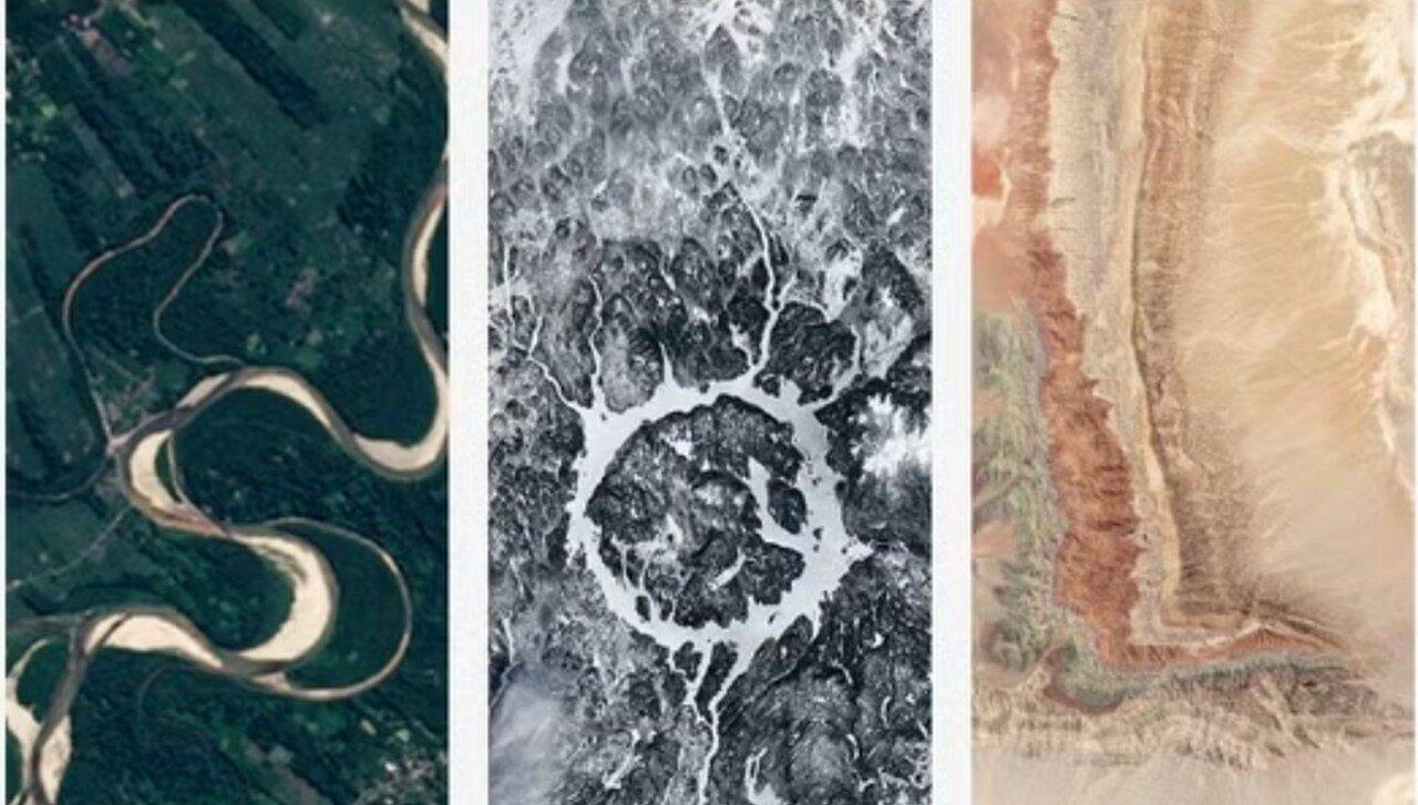
Cada image that makes up a letter can be explored in detail. By clicking on a specific letter, the user discovers its exact geographic location. In the test with the word “sun”, one of the letters originated from Rio Chapare, in Bolívia. Outra came from the Manicouagan reservoir, in the Canadá. A third showed a landscape in Xinjiang, in China. The platform provides geographic coordinates of different locations, transforming the exercise into a mini-class in planetary geography.
Como works tool access
The website is available in English and can be freely accessed by anyone with an internet connection. The process is simple: navigate to the official address, type the desired word respecting the character limitations and wait for the server to process it. The result appears in seconds, showing the word assembled with real satellite images.
The repercussion on social media occurred largely because Nasa reposted examples on Terra’s Dia. Esse type of content, which mixes science with playful interactivity, generates high engagement on platforms such as X (formerly Twitter), Instagram and TikTok. Usuários shared their own tests, creating a viral trend that has seen a resurgence even years after the tool’s original release.
Aplicações scientific program Landsat
Embora the “Your Name in Landsat” tool is a recreational exercise, the Landsat program represents an important milestone in Earth observation. Satellites map environmental changes, monitor deforestation, track urbanization and document changes in bodies of water. Pesquisadores, governments and environmental organizations use this data to make decisions about territorial planning and conservation.
Desde Its creation in 1972, Landsat has produced a continuous visual archive of the planet. Isso allows comparisons of images from the same location in different decades, revealing geological and human transformations. Image quality has improved significantly over satellite generations. The collection became public in 2008, democratizing access to geospatial information that was previously restricted. Creative use of tools like this demonstrates how scientific data can be repurposed in innovative ways that are accessible to the general public.