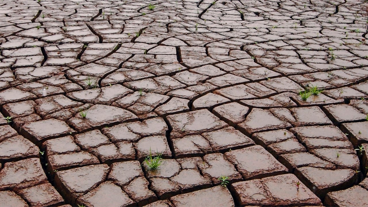
The El Niño phenomenon is forming faster than anticipated from Oceano Pacífico, raising the odds that it will become historically strong by the fall or winter of Hemisfério Norte. NOAA’s updated Dados of Centro of Previsão Climática indicates that there is a two in three chance that El Niño’s peak intensity will be strong or very strong. Essa change represents a significant increase in relation to previous projections and signals potentially significant climate impacts in several regions of the planet in the coming months.
The acceleration of the formation of the phenomenon is due to the accumulation of a vast mass of hot water in the depths of the equatorial Oceano Pacífico. Essa heated water will tend to rise to the surface in the coming months, triggering El Niño and continually intensifying it. Weather conditions have aligned favorably for accelerated development, including the weakening of winds near the equator, which accelerates the warming of ocean temperatures.
Transformação fast in intensity projections
The monthly update released Thursday by NOAA marks a significant change from previous forecasts. A month ago, forecasts called for neutral conditions, neither El Niño nor La Niña, until June. Agora, Pacífico’s average water temperature is just below the Celsius threshold of 0.5 degrees above average, and is expected to surpass that level next month. Essa’s rapid climb reflects the accelerating dynamics of the phenomenon in the making.
The odds of an Super El Niño between November and January have increased from one in four last month to approximately one in three in the most recent projections. Alguns Reliable computational models indicate that the potential of this El Niño may be the strongest on record, surpassing even the historic Super El Niño of 2015-2016, which was the most intense in NOAA records since the 1950s.
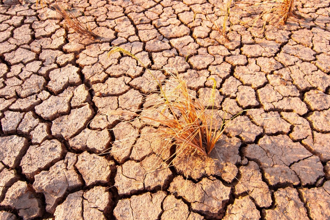
Como o El Niño forms and intensifies
El Niño is a natural climate cycle that occurs approximately every two to seven years and persists for nine to twelve months. The phenomenon begins when tropical Oceano Pacífico warms enough to trigger changes in wind patterns throughout the atmosphere, causing a cascade effect on global weather patterns.
Ocean temperatures determine event classification:
- El Niño weak: temperature rises more than 0.5 degrees Celsius above average
- El Niño strong: temperature between 1.5 and 2 degrees above average
- Super El Niño (very strong): temperature more than 2 degrees above average
Geralmente, the maximum intensity of El Niño occurs during the winter of Hemisfério Norte. Segundo Michelle L’Heureux, the scientist leading the forecasts of El Niño and La Niña at the CPC, a stronger El Niño is more likely if changes in the atmosphere remain synchronized with transformations in tropical Oceano Pacífico during the summer. The phenomenon is likely to intensify during the summer and autumn. The chances of persistence during the winter also increased to 96%, practically a certainty that the event will continue during this period.
Impactos expected global climate
The effects of El Niño are extensive and affect multiple regions of the planet. Secas and heatwaves could intensify in some areas, increasing the risk of wildfires and water supply problems, while other regions face torrential rain and flooding. On a global scale, the phenomenon causes temperatures already high due to climate change caused by human activity to skyrocket even further. Stronger El Niños makes all of these impacts more likely and potentially more severe.
In hurricane season, intense El Niños generally produces conditions favorable to storm formation in Caribe and tropical Atlântico, resulting in fewer storms in these regions. The opposite occurs in central and eastern Pacífico, where activity tends to be more intense. Isso could mean more tropical threats for Havaí and southwestern Estados Unidos.
Variações regional temperature and precipitation
Nos Estados Unidos, the biggest impacts occur during the winter, with the north of the country to the west of Canadá and Alasca experiencing warmer than average temperatures. Apesar In addition, intense cold may still occur occasionally. The southern swath of the US tends to be wetter and colder, as a stronger jet stream directs more storms to that region.
Durante the summer, monsoon rains decrease in Índia and in the southeast of Ásia. Caribe also suffers from increased drought. Hot and dry Invernos are typical in southern and eastern parts of Ásia. Drought may intensify in southwest Africa during the Hemisfério Sul summer, between December and February.
Aquecimento global and temperature records
A likely and significant impact is increased global warming. El Niño is raising the odds that 2026 or 2027 will become the hottest years on record in Terra. NOAA reported that 2025 is very likely to be one of the five hottest years in history, and this number does not even take into account the unpredictable factor of warming caused by El Niño. Caso the phenomenon reaches the status of Super El Niño, the probabilities of global temperature records increase substantially.
Comparações history and uncertainties
The 2015-2016 Super El Niño, the strongest in official records, produced severe drought in Caribe and other regions. Entretanto did not generate the wetter than average winter expected in the south of Califórnia, demonstrating that impacts do not always manifest themselves exactly as predicted. Notable Outros Super El Niños occurred in 1997-1998, 1982-1983 and 1972-1973.
Embora meteorologists are more confident in the formation of the phenomenon, there is still considerable uncertainty regarding the maximum intensity that will be reached. Mesmo Even though this El Niño does not reach super status, it remains likely to be a strong El Niño, with significant impacts on global weather conditions in the coming months.