
Forecasts indicate possible super El Niño in 2026 with record intensity

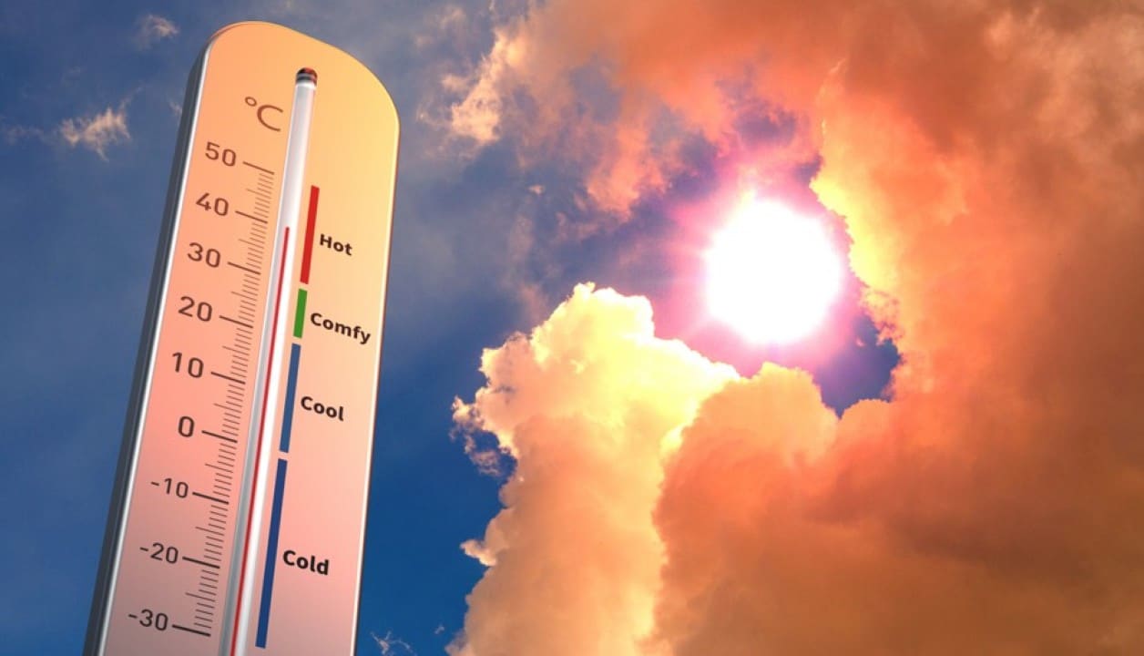
The equatorial Pacífico records gradual warming in surface waters. Modelos international forecasters are closely monitoring the phenomenon. Projections indicate a high probability of formation of a strong El Niño by the end of the year.
Especialistas assess that the event could reach high levels of intensity. Alguns scenarios speak of temperature anomalies above two Celsius degrees in the key monitoring region. The episode would have the potential to influence global rainfall and drought patterns.
Modelos Europeans project intensity above historical average
Centro Europeu of Previsões of Médio Prazo presents consistent scenarios. Simulations indicate a high chance of the event strengthening quickly from the second half of the year. In some cases, ocean surface temperatures could surpass records recorded in previous events.
- Temperaturas in region Niño 3.4 may exceed +2°C compared to the average
- Probabilidade of strong or very strong event reaches 80% in several projections
- Pico expected between November 2026 and January 2027
- Underground Anomalias already shows Kelvin waves with significant heating
Pesquisadores compare current developments with notable episodes from the past. The 1997-1998 and 2015-2016 serve as references. However, the current one has characteristics that draw attention due to the speed of evolution in deeper layers.
Expected Impactos varies by region of the planet
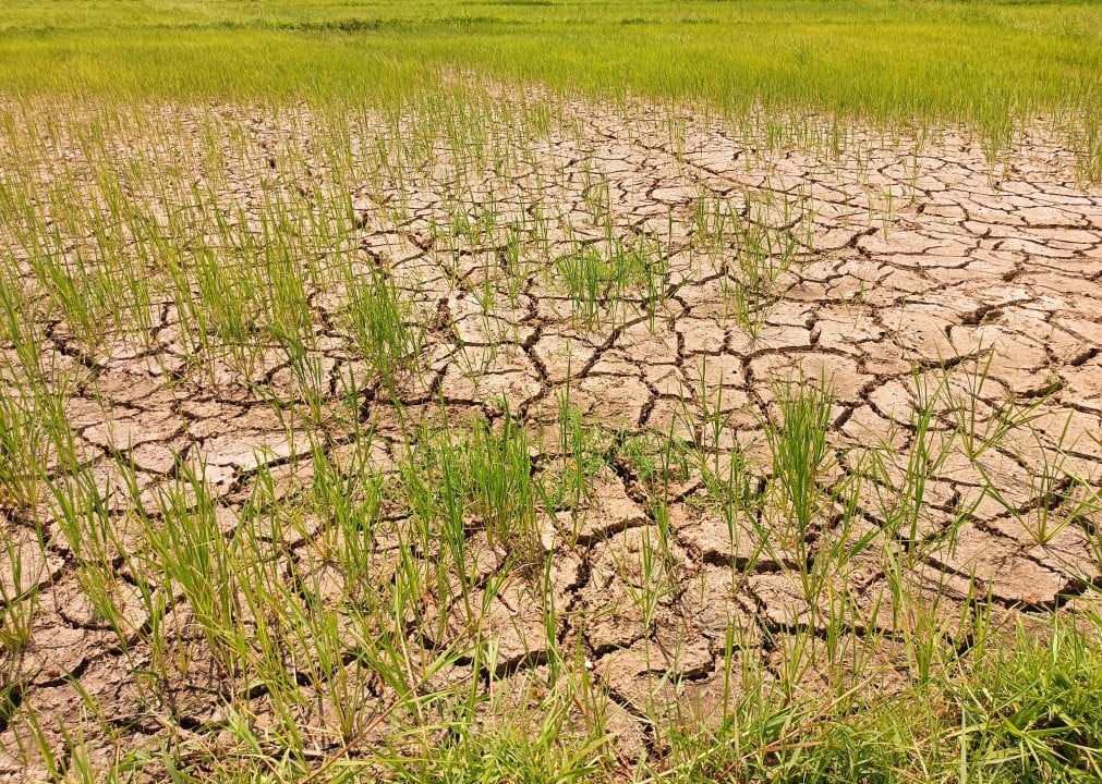
Eastern Regiões of África and parts of América of Sul may experience heavy rainfall. Prolonged Secas is forecast for Southeast Asia and Austrália. Brasil usually records mixed effects, with greater precipitation in some areas of Norte and Nordeste.
Na Europa, the situation still generates uncertainty. Modelos suggest the possibility of a hotter than average summer in several parts of the continent. The following winter could bring wetter conditions in the south and drier conditions in the north. Scientists avoid directly linking each extreme event to El Niño, but they recognize the amplifying role.
Combinação with global warming worries scientists
The natural phenomenon occurs on a planet that already records high temperatures due to greenhouse gas emissions. Essa overlap increases the chance of global heat records in 2027. Organizações like Organização Meteorológica Mundial follows the picture closely.
The additional heating of Pacífico releases more energy into the atmosphere. Isso changes wind circulation and moisture distribution. Países vulnerable to floods or long periods without rain need to prepare now.
What official institutes indicate so far
Administração Nacional Oceânica and Atmosférica of Estados Unidos maintain active surveillance. Outros research centers at Austrália and Japão also update bulletins frequently. Até now, no official statement uses the term “super” in a technical way, but the focus is on the strength of the event.
The next few months will be decisive. Medições monthly sea surface temperatures will set the trajectory. Autoridades of civil defense in different countries are already discussing contingency plans.
El Niño is a cyclical phenomenon that happens at irregular intervals. Quando strong, it modifies the weather on a large scale. The current warming cycle deserves rigorous monitoring due to the consequences it may bring.





