
When did the last super El Niño occur and why intense events are approaching

Pesquisadores still disagree on the exact date of the last El Niño super. The 2015-2016 phenomenon recorded the greatest warming of equatorial Pacífico waters in the era of modern instruments.
Warming reached 2.6°C above average. Esse value surpassed previous records. Já the 2023-2024 episode reached about 2°C at its peak. Parte from the scientific community considers this level close to the limit for classifying an event as super.
The difference in definition doesn’t just change the label. Ela reveals a pattern observed in recent decades. The intervals between the most intense El Niños show a tendency to reduce.
Definição from super El Niño varies between agencies
The term super El Niño has no single official category. NOAA, the US Ocean and Atmosphere Agency, uses Oceanic Niño Index (ONI) to measure anomalies in the Niño-3.4 region. The index tracks sea surface temperature.
Patamares above 2°C indicates very strong events. The informal limit of 1.5°C marks the strong category. In 2015-2016, the index recorded the highest peak in the modern series.
- 2015-2016: peak of 2.6°C above average
- 2023-2024: peak close to 2°C
- Historical Eventos: 1997-1998 and 1982-1983 also reached extreme levels
Outros meteorological centers adopt similar criteria, but calibrate the models differently. Pequenas variations in initial conditions generate different results in the projections.
Histórico shows five very strong episodes since 1950
Desde 1950, five events were classified as very strong. The time between them has already reached 18 years in some cases. Nos last cycles, this range has decreased.
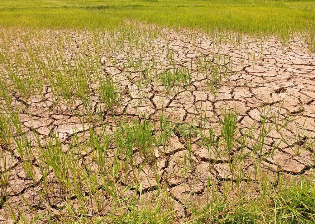
The 2015-2016 episode had global impacts. Severe Secas hit several regions of América and Sul. Inundações affected Peru and other countries. Warming contributed to record temperatures in 2015 and 2016.
The 2023-2024 event also produced notable effects. Ondas of heat and changes in the rainfall regime marked several continents. The temporal proximity to the previous one reinforces the perception of shortening of cycles.
Pesquisadores of Cemaden, in Brasil, follow these patterns. Eles highlight the chaotic nature of the atmosphere. Small Mudanças in initial conditions can alter the development of the phenomenon.
Previsão indicates new strong or very strong El Niño in 2026
NOAA released the forecast for the development of a new episode in early May 2026. The probability reaches 82% between May and July. The chance of persistence until the northern hemisphere winter, between December 2026 and February 2027, reaches 96%.
Modelos of Centro Europeu of Previsões Meteorológicas (ECMWF) indicate the possibility of warming close to 3°C. Esses values require caution in interpretation. The final intensity depends on the coupling between ocean and atmosphere over the next few months.
The El Niño phenomenon occurs when the waters of the equatorial Pacífico warm above average. Ventos trades weaken. Isso changes global temperature and precipitation patterns.
Impactos potential for the next event worries authorities
Strong Eventos often bring droughts in northern Brasil and parts of Amazônia. The south of the country and Sudeste may record above-average rainfall. Inundações and landslides become more likely in vulnerable areas.
No Peru and Equador, the risk of flooding increases. Na Austrália and Indonésia, the drought may intensify. The effects on agriculture and water supplies require advance planning.
Cemaden monitors developments for Brasil. Alertas of natural disasters gain greater importance when the phenomenon approaches national territory.
- Regiões with highest drought risk: Norte and Nordeste
- Áreas with possibility of heavy rain: Sul and Sudeste
- Setores affected: agriculture, hydropower and public health
- Preparação required: reinforcement of alert systems and infrastructure
Divergências between models reflects complexity of the climate system
Diferentes prediction centers present varying scenarios. Isso is expected in a chaotic system. NOAA maintains a cautious tone about the maximum strength of the event.
ECMWF’s more aggressive Projeções suggests chance of surpassing recent records. Ainda thus, ocean-atmosphere coupling needs to consolidate in the northern hemisphere summer to confirm intensity.
Cientistas reinforce that more frequent events do not necessarily mean greater severity in all cases. The vulnerability of populations and the exposure of infrastructure amplify the impacts.
Continuous monitoring of temperatures in the Pacífico remains a priority. Dados from satellites, buoys and ground stations feed the models.





