El Niño reaches super status with ocean temperatures soaring
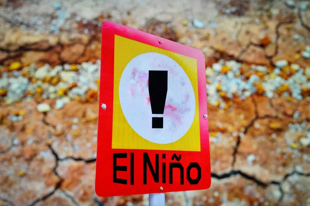
On September 14, 2026, the National Oceanic and Atmospheric Administration recorded Pacific Ocean surface temperatures rising 2.0 degrees Celsius above average, pushing the current El Niño into super status. The measurement marks the highest reading for this calendar date since official tracking began.
Forecasters at NOAA categorize this threshold as very strong.
New metric measures real-time Pacific warming
The agency evaluated the warming trend using the Niño 3.4 Relative Oceanic Niño Index, known as RONI, which monitors conditions along the equator in the Pacific Ocean. Scientists first implemented this measurement standard in February to isolate the true strength of the climate cycle by removing baseline increases caused by fossil fuel emissions. The latest weekly reading reached 3.6 degrees Fahrenheit above typical conditions.
Standard climate monitoring historically relies on a three-month rolling average to smooth short-term fluctuations before updating historical records monthly. However, NOAA forecasters observed that the rapid transition from a weak La Niña twelve months ago demanded direct weekly analysis to track the fastest-forming event since the record cycle of 1982 to 1983.
NOAA predicts record strength before year ends
El Niño strengthened unusually fast.
A forecast issued by NOAA models assigns a 75 percent probability that this phenomenon will become the most powerful recorded event since 1950 by the end of December. Sea surface heat continues to climb heading into the winter period, which represents the traditional window when El Niño achieves its highest intensity. This development unfolds after August ranked as the hottest month ever recorded on Earth.
Global weather patterns shift across two oceans
Atmospheric disruption tied to equatorial heating generated contrasting conditions between the Atlantic and Pacific basins throughout the northern summer. While strong wind shear halted hurricane activity in the Atlantic, conditions in the Pacific spawned intense tropical systems in rapid succession.
- Sixteen named storms developed across the central and eastern Pacific Ocean.
- Two systems escalated into Category 5 hurricanes during the summer months.
- Fourteen tropical cyclones originated in the East Pacific, nearing the typical full-season average of 15.
- Hawaii encountered three distinct tropical systems in less than one month.
In the Atlantic Ocean, persistent wind shear delayed the formation of the first hurricane to record-late territory.
Wildfires and heat intensify across multiple regions
Dry conditions across Indonesia left dense vegetation primed for uncontrolled blazes, while suppressed rainfall left emergency teams with limited moisture to combat the fires. Because elevated equatorial sea temperatures continuously push global atmospheric temperatures higher across multiple continents, forecasters at NOAA project that this active surge will sustain unprecedented planetary warmth through the end of 2026 and potentially establish 2027 as the hottest year in documented human history.