
Atlantic marks historic hurricane lull unseen in 175 years

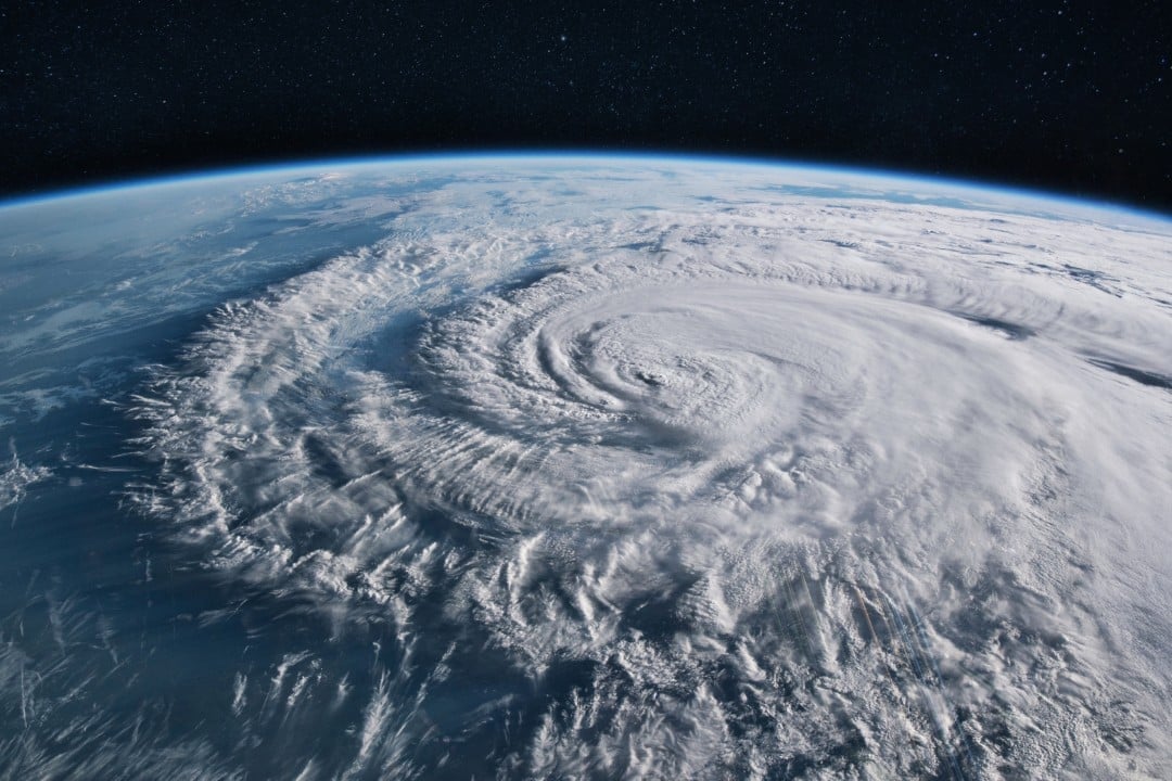
The Atlantic Ocean experienced a prolonged absence of severe cyclonic activity that could carry unintended meteorological consequences for global climate systems. Meteorologists track this unusual quietude while monitoring ocean temperature anomalies across tropical basins.
The Atlantic hurricane calendar passed its customary peak around September 10 without generating a single organized tropical wave or developing storm.
Tropical waters normally reach peak warmth during this stretch, providing optimal thermodynamic fuel for rapid storm formation across open waters. Persistent plumes of Saharan dust and strong vertical wind shear suppress disturbance growth in the primary development zone. These combined factors actively suffocate fledgling low-pressure systems.
Communities along vulnerable coastlines avoid devastating storm surges, damaging winds, and inland flooding whenever cyclones fail to materialize. Maritime disruptions in the Gulf of Mexico also routinely drive up energy commodity prices across international markets.

The Atlantic calm remains historic.
The United States introduced aerial reconnaissance flights in 1944 to track tropical systems across the Gulf of Mexico, the Caribbean Sea, and the broader Atlantic Ocean. Ever since military aircraft tracking began in 1944, at least one hurricane formed before September 11 in every single recorded season until this anomalous summer broke eight consecutive decades of meteorological records across the entire Atlantic basin. Prior to this lull, the latest opening hurricanes occurred in 2002 with Gustav and in 2013 with Humberto on September 11.
Official Atlantic archives stretch back to 1851, although nineteenth-century tallies relied largely on commercial ship sightings and missed offshore cyclones. Even across that full 175-year ledger, every season registered a hurricane, with 1941 previously holding the latest initial formation record on September 17.
Forecast models show zero expectation of hurricane development through mid-September. The National Hurricane Center monitors only one isolated disturbance in the central Atlantic, assigning the system a “near zero” percent probability of strengthening into a tropical depression within forty-eight hours. Specialists assess minimal odds of that lone disturbance ever reaching hurricane intensity.
The regional season officially continues until the end of November and regularly produces powerful cyclones during October. While forecasters hesitate to declare an entirely hurricane-free season, the probability of such an unprecedented event continues to increase.
Secondary storm metrics confirm the exceptional dormancy of the current basin. In accumulated cyclone energy records dating to 1950, the current period ranks 77th out of 77 years evaluated. Five weak tropical storms produced just 7 percent of typical seasonal cyclone energy.
Atmospheric shifts bring quiet seas alongside severe global risks
A rapid intensification of El Niño in the Pacific Ocean suppressed cyclogenesis across the tropical Atlantic. Pacific surface temperatures measured nearly 3° C above baseline, generating intense upper-level wind shear that tears Atlantic storm clusters apart.
Lower storm volume spares coastal settlements from immediate disaster. However, the expanding El Niño curtails vital rainfall across the Panama Canal, disrupting international cargo transits. Drought conditions also jeopardize staple rice crops in Asia and heighten food insecurity across several vulnerable continents.
Because atmospheric heating lags oceanic warming by months, the full planetary temperature spike will materialize well after the initial oceanic surge. Projections suggest 2027 will register as the hottest year on record, bringing extreme heat to vast sections of the Northern Hemisphere.





