Atlantic Ocean records zero hurricanes past September 10
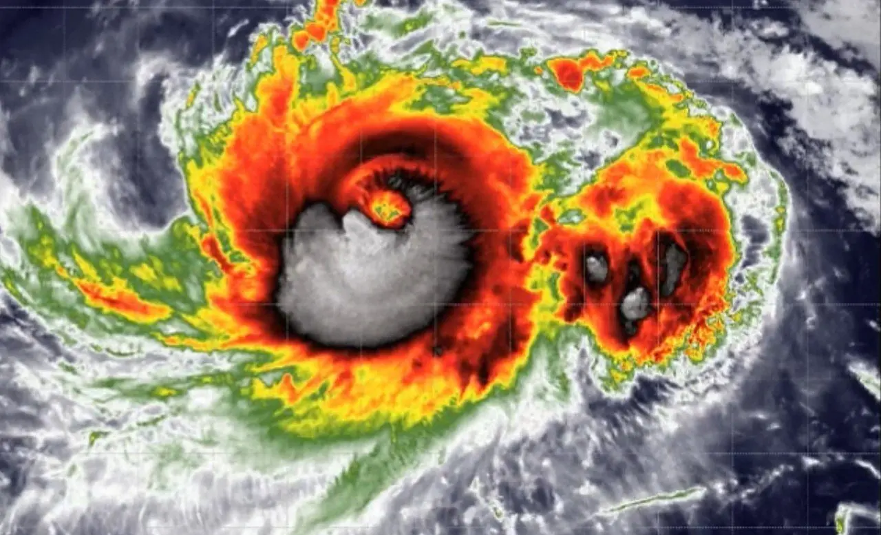
The Atlantic Ocean registered zero tropical cyclones across its basin during the first ten days of September. This unusual atmospheric pause disrupts established meteorological patterns across global climate systems. Regional weather models observed no organized low-pressure systems forming in the open sea.
The maritime calendar surpassed its traditional climatological peak on September 10 without producing any tropical storms. Ocean waters remained entirely clear of disturbances capable of organizing into severe rotating systems.
This absence conflicts directly with standard marine climatology observations. Tropical sea surface temperatures reached their highest recorded levels, an environmental condition that typically accelerates storm formation. A thick layer of airborne dust from the Sahara joined forces with strong vertical wind shear to dismantle emerging instabilities. These combined factors suppressed atmospheric convection across prime development corridors.
The absence of storms spares coastal cities from immediate devastation and severe flooding emergencies. Calm conditions throughout the Gulf of Mexico simultaneously prevent sudden price spikes in international energy markets.
The Atlantic stillness remains historic.
Aerial reconnaissance flights tracking maritime basins for the United States started in 1944 across the Gulf of Mexico and the Caribbean Sea. Every single year in that observational record generated at least one hurricane by September 11, with Gustav in 2002 and Humberto in 2013 previously setting the benchmark as the latest initial developments. Neither of those historical latecomers matches the current delay because no named system has developed within any monitored flight path this season.
Although merchant vessel logbooks formed the primary archive of tropical activity dating back to 1851 and inevitably missed some weaker systems, every documented season across more than a century and a half recorded hurricanes, with the previous record for the latest first hurricane occurring on September 17, 1941. Modern meteorologists confirm that the current lull breaks every historical expectation established throughout those early maritime records.

The National Hurricane Center tracks only one isolated disturbance across open waters. Forecasters assigned this solitary system an almost zero chance of strengthening into a tropical depression. Its probability of gaining enough wind structure to become a hurricane remains virtually non-existent.
The official hurricane calendar runs through late November, with historical data often highlighting vigorous activity throughout October. The statistical possibility of completing an entire season without any hurricanes now grows and would establish an unprecedented milestone.
Accumulated cyclone energy dropped to only 7% of the historical average for this stage of the year. Within the comprehensive database established in 1950, this performance ranks 77th among the 77 recorded years. The basin recorded only five weak storms during the entire period. Meteorologists measure this deficit through integrated storm duration and peak intensity.
Pacific warming through El Niño disrupts typical storm patterns
A powerful El Niño event taking place across the Pacific Ocean dismantled traditional cyclone nurseries in the Atlantic. Sea surface anomalies exceeded baseline Pacific temperatures by nearly 3 °C, an unprecedented temperature departure in modern monitoring that intensified upper-level winds to shear storm clouds apart.
The decline in cyclones brings immediate safety to tropical coastlines, yet side effects trigger serious ecological disruptions elsewhere. Severe drought linked to the climate pattern restricts daily ship transit across the Panama Canal. Reduced rainfall also threatens rice production across key farming regions in Asia, elevating the danger of food shortages.
Planetary heat absorption following massive ocean warming surfaces several months after the initial peak of the phenomenon. Climate models highlight 2027 as a prime candidate for the hottest year on record, with extreme temperatures projected to spread across broad continental zones during the Northern Hemisphere summer.