
Puget Sound earthquake of magnitude 4.2 shakes Seattle and Tacoma along local fault line

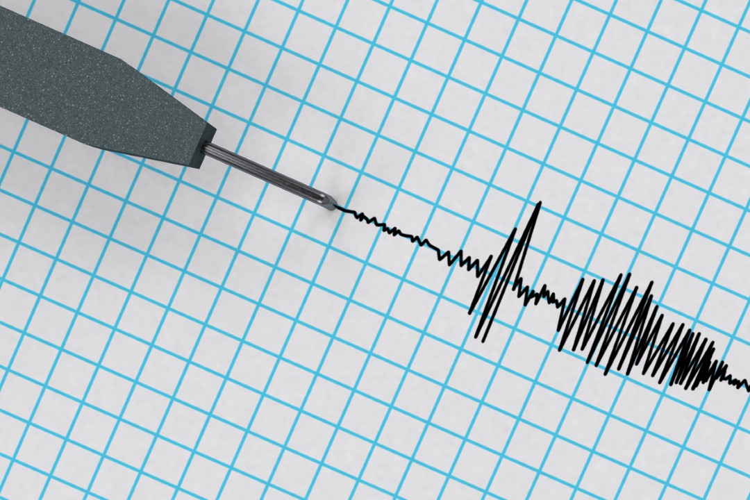
Ground motion from a magnitude 4.2 earthquake rolled across the Puget Sound basin on Tuesday, September 29, 2026, shaking high-rises and residences throughout Seattle. The tremor struck at 2:05 p.m. Pacific Time without causing structural collapses, utility breaks, or physical injuries across western Washington communities.
Instruments operated by the U.S. Geological Survey identified the seismic origin along the boundary separating Kitsap and Pierce counties. Residents across a wide swath of the metropolitan region reported distinct shaking, with verified reports coming from Tacoma, Bremerton, Olympia, Des Moines, and Everett.
Seismic measurements recorded across western Washington
- Origin time: 2:05 p.m. Pacific Time on September 29, 2026.
- Epicenter location: Kitsap and Pierce county border, 6 kilometers west-northwest of Wauna.
- Focal depth: approximately 27.9 kilometers beneath the surface.
- Tsunami assessment: coastal danger ruled out by the U.S. National Tsunami Warning Center.
Tacoma fault movement and transit adjustments
Seismologists traced the disturbance to the Tacoma fault zone, an active crustal structure that spans 35 miles from east of Kent to Union and crosses beneath Vashon Island. Pacific Northwest Seismic Network director Harold Tobin pointed out that the event underscores the persistent seismic hazards confronting the Pacific Northwest urban corridor.
“There’s that possibility of a damaging earthquake, but this one is not that,” Tobin said in an official briefing. The seismologist emphasized that regular minor rumblings are typical because local communities operate directly above active tectonic zones.
Learn more: Seattle mayor under fire after interrupting police chief during public safety discussion
Field inspections conducted by the Pierce County Department of Emergency Management confirmed that public infrastructure remained intact and reported no ruptured pipelines or electrical hazards. Regional transit agency Sound Transit implemented safety protocols immediately following the tremor, directing light rail vehicles to alternate on a single track near Angle Lake Station while crews verified alignment stability.
Statistical forecasts released by the U.S. Geological Survey indicated a 38% probability of an aftershock reaching magnitude 3.0 or higher within seven days along the affected fault segment. Even with ongoing localized activity, regional records show that the 2001 Nisqually earthquake, measuring magnitude 6.8, remains the most destructive seismic event in Washington over recent decades.
Significant seismic activity across Washington state
- July 12, 2019: magnitude 4.6 earthquake near Monroe.
- October 8, 2023: magnitude 4.3 earthquake centered near Port Townsend.
- March 3, 2025: magnitude 4.5 earthquake adjacent to Orcas Island.
- September 29, 2026: magnitude 4.2 earthquake on the Kitsap and Pierce county boundary.
Kitsap Peninsula seismic instruments track subsurface activity
Seismological stations recorded no aftershocks exceeding magnitude 3.0 around the Kitsap Peninsula throughout the remainder of the afternoon. Research teams from the U.S. Geological Survey and the Pacific Northwest Seismic Network continue to evaluate live stream readings from detection instruments placed throughout the Puget Sound basin.





