Cyclone forecast in Uruguay causes cold front with storms in 8 Brazilian states this weekend Por Carolina Costa
3 min de leitura
 |
A new extratropical cyclone begins to form this Friday (14) between Uruguay and Argentina, in the Rio de la Plata region. The system is not expected to enter directly into Brazilian territory, but it will boost a cold front that arrives in the south of the country on Sunday (16). The forecast indicates widespread rain and the risk of storms in at least eight states until next Wednesday (19).
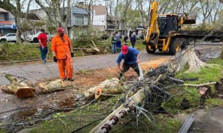
The most affected states include Rio Grande do Sul, Santa Catarina, Paraná, Mato Grosso do Sul, São Paulo, Rio de Janeiro, Minas Gerais and Goiás. The intensity should be lower than last week’s cyclone, which caused tornadoes and roof damage in Santa Catarina and Paraná.
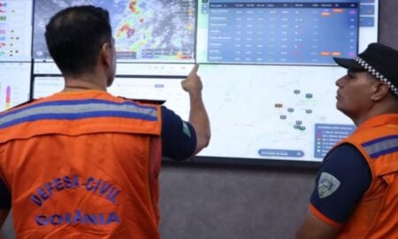
The Civil Defense of several states has already issued warnings for gusts of wind, hail and occasional flooding.
System trajectory
The cyclone is initially organized over central Argentina. Maps from the University of Florida show the low pressure center deepening near the Uruguayan coast during Saturday (15).
On Sunday, the system migrates to the South Atlantic Ocean, staying away from the Brazilian coast. This position favors the entry of moist air and large-scale instability.
Alert states
Rio Grande do Sul receives the first significant volumes on Sunday afternoon. Santa Catarina and Paraná record heavy rain between Sunday and Monday.
São Paulo and Mato Grosso do Sul enter the area of instability on Monday (17). Rio de Janeiro, Minas Gerais and Goiás face isolated storms between Tuesday (18) and Wednesday (19).
Predicted volumes
MetSul estimates accumulations of between 50 mm and 100 mm in the west and south of Rio Grande do Sul. Regions of Santa Catarina and Paraná could exceed 80 mm in 48 hours.
In the Southeast, the largest volumes are concentrated in the south and west of São Paulo, with up to 70 mm until Wednesday. Areas of the Midwest register up to 60 mm in the same period.
Associated risks
Wind gusts can reach 80 km/h on the south and southeast coast. There is a moderate possibility of hail in isolated parts of Paraná, Santa Catarina and Rio Grande do Sul.
Rapid flooding occurs in urban areas with poor drainage. Power outages are another risk in regions with exposed grids.
Official recommendations
Civil Defense advises avoiding shelter under trees during strong gusts. Vehicles must stay away from signs and transmission towers.
In the event of a severe storm, it is recommended to unplug electrical appliances. Numbers 199 (Civil Defense) and 193 (Fire Department) are available for emergencies.
Forecast by region
- South: Widespread rain Sunday and Monday, with greater accumulations in the west of Rio Grande do Sul and the Santa Catarina plateau.
- Southeast: Instability increases on Monday, with thunderstorms in the afternoon in SP and south of MG.
- Central-West: Mato Grosso do Sul has heavy rain on the border; Goiás records isolated showers on Tuesday.
The cold front loses strength from Thursday (20), with a gradual return of dry weather in the South.