Southern California records wettest Christmas in history with records broken in several cities


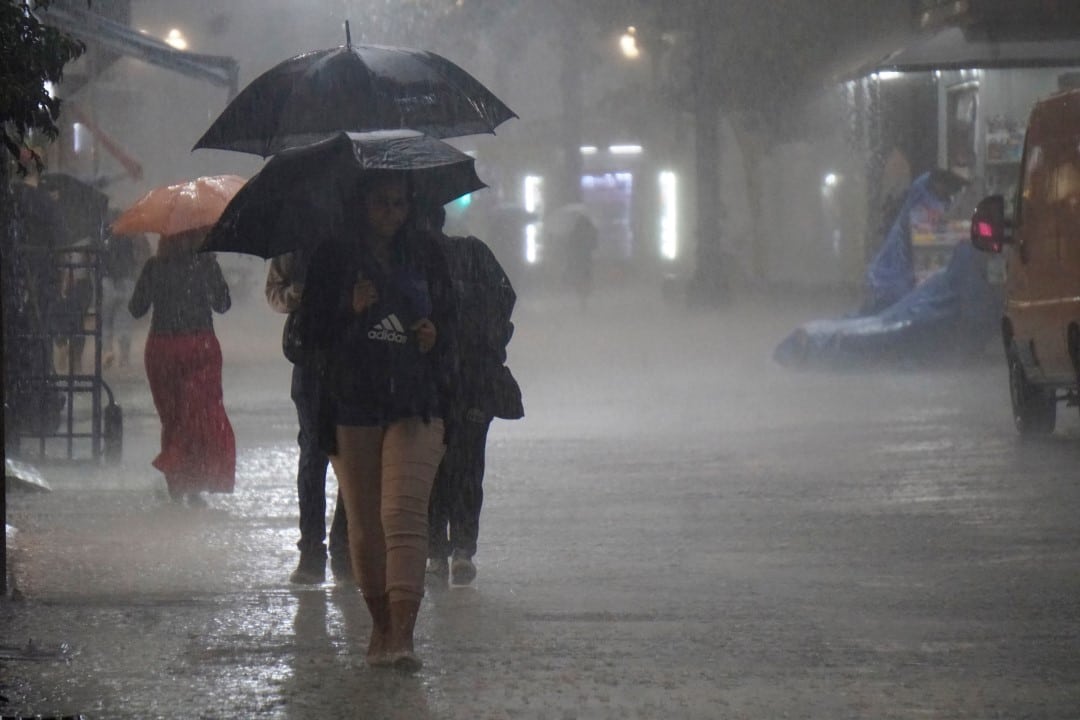
Califórnia of Sul recorded the wettest period of the day before and on the day of Natal ever documented in several locations. Intense Chuvas, driven by an atmospheric river, accumulated significant volumes between December 24 and 25, 2025, surpassing historical marks in cities such as Santa Bárbara, Woodland Hills and Oxnard.
Local authorities have issued flood warnings and evacuation orders in vulnerable areas. The phenomenon caused traffic disruptions, power outages and rescues in mountainous regions. Governor Gavin Newsom declared a state of emergency in several counties to expedite response resources.
- Santa Bárbara Airport: 4.83 inches;
- Woodland Hills: 4.62 inches;
- Oxnard: 4.26 inches;
- Van Nuys: 4.12 inches;
- Burbank: 3.5 inches.
These totals are for the two-day period and highlight the intensity of the storm.
Records broken in multiple locations
Several weather stations in Califórnia of Sul surpassed previous records for the period of December 24th and 25th. Em Santa Bárbara, the volume of 4.83 inches surpassed the 3.22-inch mark set in 1955. Outras cities also recorded new highs, reflecting the rarity of the event.
In the center of Los Angeles, the accumulated 2.59 inches positioned the period as the fourth wettest since 1889. The last time Natal was wetter occurred in 1971, with 3.24 inches.
Immediate impacts of intense rains
Flooding affected main highways, such as Interstate 5 and Interstate 15, with partial closures on Cajon Pass and Sun Valley. Deslizamentos of debris occurred in Wrightwood, in the mountains of San Gabriel, burying vehicles and damaging homes. Equipes rescuers carried out dozens of operations in saturated areas.
At least four deaths were reported in storm-related incidents, including vehicle collisions and drownings. Quedas of trees and power outages affected thousands of residents during the holiday.
High accumulations in mountainous regions
Elevated areas received even greater amounts of precipitation over three days. Rose Valley, in Ventura County, accumulated more than 17 inches. San Marcos Pass, in Santa Barbara County, recorded over 14 inches, while Chilao South, in the mountains of San Gabriel, topped 11 inches.
These totals have intensified risks of debris flows in recent fire scars. Ordens evacuations were maintained in places like Riverwood, in Sunland, due to the controlled release of water from dams.
Emergency measures adopted
Governor Gavin Newsom activated a state of emergency in counties such as Los Angeles, San Diego, Orange, Riverside, Essa measure facilitated access to state and federal resources for infrastructure repairs. Departamentos of public works monitored dams and drainage channels.
National Weather Service has issued flash flood warnings and moderate risks of excessive precipitation until Friday, December 26th. Previsões indicated snow at elevations above 7,000 feet in the mountains of San Bernardino.
Observed climate alternation
The 2025 event contrasted with the previous year, marked by record drought and high temperatures. The summer and fall of 2024 were the hottest on the Califórnia coast from Sul since 1895. The Essa transition from drought to flood highlighted patterns of extreme variation.
The hydrological year, which began on October 1, 2025, was among the wettest to date. Meteorologistas pointed out that atmospheric rivers gained strength due to anomalous oceanic conditions.
Forecasts for the next few days
Additional rainfall occurred on Friday, December 26, with accumulations of up to 3 inches in some areas. The weather should gradually dry out over the weekend, allowing for initial recovery. Moderate Ventos to Santa Ana were expected over the following week, with no immediate significant precipitation.
Authorities recommended caution in post-holiday travel due to saturated soils.
Detailed precipitation records
Several locations broke specific brands for the Christmas period.
- UCLA: 3.05 inches, surpassing 3.02 inches in 1971;
- Camarillo: 3.36 inches, up 2 inches from 1979;
- Los Angeles International Airport: record daily volumes on December 24th.
These data confirmed the extent of the event throughout the coastal region and valleys.
Recorded rescues and outages
Teams rescued people swept away by currents in channels such as Tujunga Wash and San Jose Creek. Veículos trapped in floods in Antelope Valley required quick interventions. Aeroportos faced delays, although major operations continued.
The storm affected holiday travel plans on congested highways.