Giant 35-meter waves in the Pacific are detected by satellites and reinforce navigation safety By Carolina Costa
5 min read
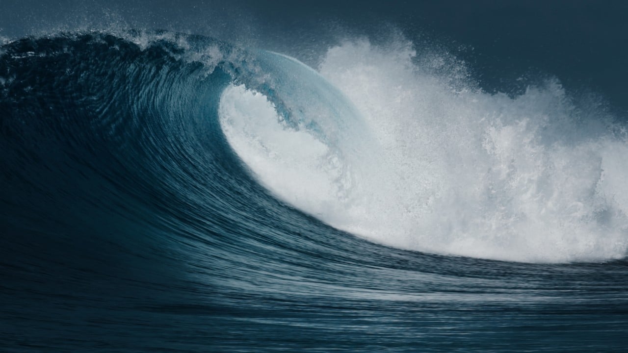 |
An unprecedented measurement carried out by satellites in orbit identified the formation of waves up to 35 meters high in a remote area of Oceano Pacífico, located between Havaí and Ilhas Aleutas. The record, captured during the month of December, represents an extreme event that significantly exceeds the average heights observed at sea, which rarely exceed 15 meters. Esta detection is a milestone for oceanography and global maritime security.
The phenomenon, once considered a legendary story among sailors, is now a concrete fact thanks to space technology. The ability to monitor difficult-to-access ocean regions turns potential risks into actionable information, allowing anticipation of dangerous zones for cargo ships, fishing vessels and other operations that depend on safe routes. Continuous analysis of these events improves forecasting models and strengthens navigation strategies.
The importance of the discovery lies in validating that such extreme waves, known as “rogue waves” or anomalous waves, are more common than previously imagined. Systematic satellite data collection is fundamentally changing understanding of ocean dynamics, providing a solid foundation for updating nautical charts and safety protocols around the world, effective for operations to 2025 and beyond.
How space technology measures extreme waves
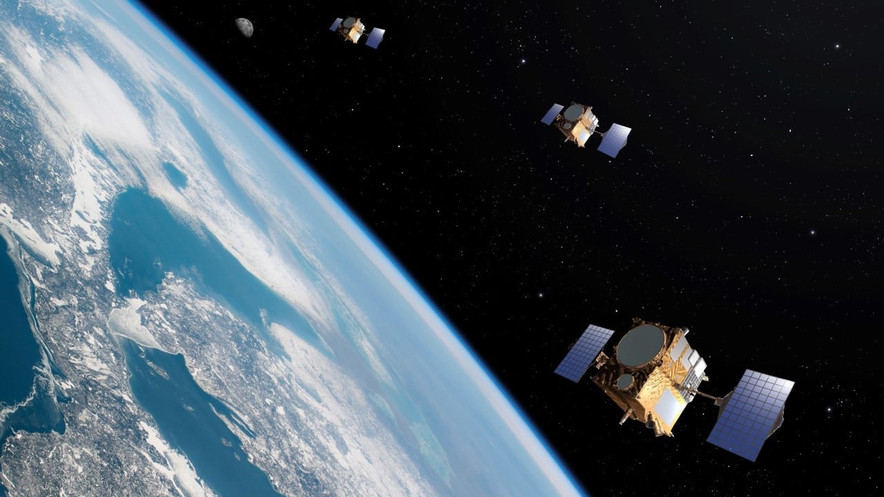
Radar altimetry instruments, installed on satellites such as the Sentinel and Jason series, are responsible for this feat. Eles work by emitting microwave pulses towards the sea surface and measuring with extreme precision the time it takes for the signal to return. Variações minimums during this return time reveal changes in the water level, allowing the ocean topography to be mapped in detail.
When an extreme wave forms, it creates an abrupt peak followed by a deep trough. The altimeter detects this anomaly as a drastic and instantaneous change in surface height, recording data that would be impossible to obtain using buoys or meteorological ships, especially in such isolated regions. Essa technology operates around the clock, ensuring constant global surveillance.
The formation of giant waves in Oceano Pacífico
These colossal waves are not tsunamis, which are generated by seismic activity under the sea. Instead, they are born from specific, intense weather conditions. Tempestades severe conditions, with strong and persistent winds blowing over a vast expanse of water, transfer an immense amount of energy to the ocean.
This energy builds up and, under certain conditions, can cause several smaller waves to overlap and combine, a phenomenon known as “constructive interference.” The result is the formation of a single massive wave, which can reach heights two or three times greater than the waves around it.
The Pacífico Norte is a region particularly prone to these events due to its immensity, which allows storm systems to act for long periods, and the frequency of intense extratropical cyclones, especially during the winter months in the northern hemisphere.
Direct impact on the safety of navigators and routes
The main practical application of this data is the improvement of navigation alert systems. By accurately identifying areas where extreme waves are most likely to occur, shipping companies can adjust their routes in real time, avoiding high-risk zones.
This proactive diversion capability protects not only crew and cargo, but also the structural integrity of ships, which may not be designed to withstand the impact of such a colossal body of water. Early warnings are crucial for long transoceanic voyages.
The information collected is integrated into route planning software, which takes into account not only currents and winds, but also the probability of encounters with anomalous waves. Isso represents a significant evolution in operational risk management in the maritime sector.
For the fishing industry and research vessels, which often operate in more turbulent and remote waters, this data is even more vital, allowing decisions about staying at sea or seeking shelter to be made based on concrete, up-to-date information.
Crucial advances for ocean infrastructure
Detailed knowledge about the maximum height that waves can reach is fundamental for the engineering of offshore structures. Plataformas for oil and gas extraction, for example, are designed to withstand extreme conditions, and satellite data provides more realistic parameters for material strength and fatigue calculations.
Likewise, the growing offshore wind energy sector relies on this information to correctly size foundations and turbine heights. A design that underestimates wave strength can lead to catastrophic failures, while excessive oversizing increases costs unnecessarily. The 35-meter wave records serve as a new benchmark for safety and engineering standards.
Expansion and future of global ocean monitoring
The recording of these giant waves on Pacífico validates the effectiveness of orbital monitoring and paves the way for a new era in marine meteorology. Scientists can now use this data to refine climate and ocean forecasting models, improving their ability to predict not only where but also when these extreme events might occur. The integration of this information into global forecasting systems indirectly benefits coastal communities, as storms that generate giant waves at sea can eventually impact the coast with severe storm surges. Constant vigilance reveals that the ocean is a dynamic environment and that even areas considered calm can present hidden risks. Technological advances reinforce the predictability of phenomena that were previously relegated to the unpredictable, contributing to a safer and more informed relationship with the seas.
December Historical Record Details
The specific event was captured during a single satellite pass over the region, on a night of particularly severe weather conditions. Analysis of the data revealed the abrupt formation of the wave, highlighting its anomaly compared to the surrounding sea state. The remote location of the phenomenon is the main reason why such events remained without scientific proof for so long, reinforcing the irreplaceable importance of space surveillance for the planet’s security.