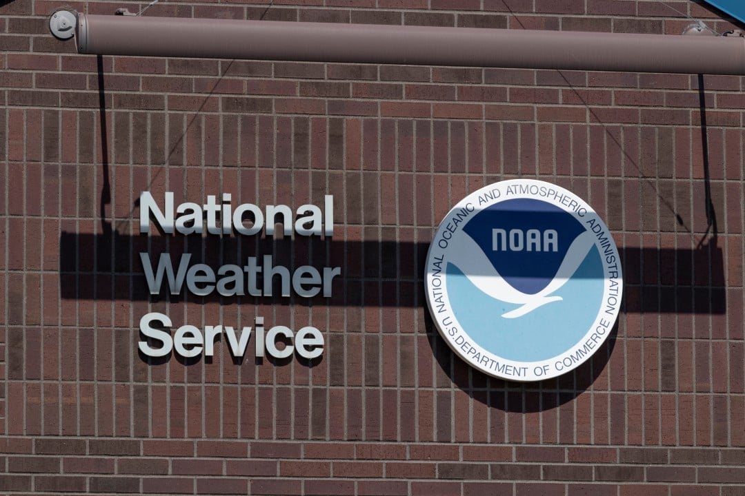
Serviço Nacional of Meteorologia, operating out of the Jackson office in the US state of The message went off at 10:07 a.m. Eastern time as part of an annual security exercise. However, the absence of an explicit indication that it was just a simulation led several residents of the eastern region of the state to believe that they were facing a real meteorological threat. The event took place during the official schedule of Severe Weather Awareness Week, a period dedicated to public education about natural disasters.
The main objective of the operation was to test the risk communication infrastructure and ensure that radio stations, television channels and telephone systems were able to relay critical alerts immediately. The use of real emergency codes is a necessary technical practice in these trainings to force the automatic activation of reception equipment in homes and businesses. Apesar of the prior planning and warnings issued in previous days, the formatting of the text received on mobile devices and televisions did not contain the word indicative of testing highlighted, which mischaracterized the purely educational intention of the government action.
Residents of several communities reported receiving the alert with the standard format of an emergency in progress. Text messages and interruptions in normal radio and television programming displayed standard tornado warning protocol, directing immediate search for shelter. The situation required a quick mobilization of local authorities to clarify the misunderstanding through secondary communication networks and official profiles, avoiding unnecessary activation of rescue services and emergency telephone lines.
The meteorological office quickly confirmed the nature of the event and began an internal review process to understand the error in message formatting. The agency’s goal is to identify the exact point in the transmission chain where exercise signaling was omitted or suppressed by automated systems. Accuracy in communication is a fundamental pillar to maintain the credibility of the warning system and ensure that the population responds appropriately when there is an actual formation of tornadoes in the region.
Operationalization of the emergency system and data transmission
The Sistema of Alerta of Emergência is a complex network that integrates government agencies, commercial broadcasters and telecommunications providers. Durante a state test, the Serviço Nacional of Meteorologia sends a coded signal that is picked up by local relay stations. Esse signal contains specific metadata that determines the severity of the event, the area affected, and the duration of the alert. The system architecture was designed to work even in conditions of degraded infrastructure, using specific radio frequencies from Administração Oceânica and Atmosférica Nacional.
For the test to be effective, telecommunications engineers need to use the same protocols as in a real situation. Isso garante que os decodificadores instalados nas emissoras de televisão e nas operadoras de TV a cabo reconheçam o sinal e executem a sobreposição de tela e a emissão do tom de alerta sonoro. The complexity arises from the need to insert the test variable into code designed to convey absolute urgency, a process that requires precise calibration of the sending software.
In some specific regions, such as the north of the state, technical adjustments were successfully implemented, allowing receivers to clearly differentiate the simulation from a real event. The disparity in message reception between different counties indicates that the failure may be related to how different service providers interpret and display data packets sent by the central weather office.
Technical investigation into message formatting
The technical team at Jackson’s office is conducting a detailed analysis of the transmission logs generated at 10:07 that morning. The procedure involves checking system logs, reviewing automation scripts, and directly contacting local media partners. The agency seeks to determine whether the error occurred in the original wording of the weather report or whether there was a suppression of characters during the transmission of information via cell phone towers.
Reports provided by citizens are being fundamental in mapping the extent of the problem. The agency asked residents to provide the device model, telephone provider and the exact text received on the screen. Esse data crossing allows you to identify failure patterns and isolate equipment or software that requires updating before the next annual test cycle.
Corrective measures are already being developed for future security exercises. Entre The proposals under discussion are the structural modification of the text message header, ensuring that the word indicative of simulation is the first element viewed by the user, regardless of the character limitations imposed by specific telephone operators.
Severe Weather Awareness Week Essentials
Holding the training in March is not a random choice on the government calendar. The period marks the climatic transition to spring in the northern hemisphere, a time characterized by the meeting of cold air masses coming from the Canadá with hot and humid air currents originating from the Golfo of the México. Essa Atmospheric instability creates ideal conditions for the formation of supercells, the storms responsible for generating the majority of tornadoes recorded in the North American territory.
The state of Kentucky has a meteorological history that justifies the rigorous maintenance of these readiness protocols. The local geography, located in a climate transition zone, exposes communities to extreme weather variations in short intervals. Continuous public education is the most effective tool for reducing the number of casualties during the passage of severe frontal systems.
During awareness week, emergency management agencies step up information campaigns. The focus is to teach the population to differentiate risk levels, understanding the technical distinction between a tornado watch, which indicates favorable conditions for the formation of the phenomenon, and a tornado warning, which confirms that the funnel was seen by trained observers or detected by weather radar.
Safety protocols and identification of suitable shelters
The state simulation serves as a practical reminder for families, schools and businesses to review their contingency plans. Standard technical guidance requires that upon receiving a legitimate alert, individuals immediately proceed to pre-determined safety areas. The effectiveness of the human response in the first minutes after issuing the warning is decisive for the physical integrity of those involved.
Official safety guidelines establish the following procedures during a tornado warning:
– Deslocamento fast for the lowest level of the building, with absolute preference for structural basements.
– Posicionamento in internal rooms without windows, such as bathrooms, closets or central corridors, if the structure does not have an underground level.
– Utilização of helmets, mattresses or thick blankets to protect the head and neck against debris thrown by the wind.
– Evacuação immediately away from mobile homes and vehicles, seeking shelter in solid masonry buildings or, as a last resort, lying down in ditches or depressions in the ground.
Ongoing preparation also involves assembling emergency kits containing drinking water, non-perishable food, flashlights, extra batteries and a weather radio tuned to official frequencies. Relying solely on cell phones to receive alerts is discouraged by authorities, as telecommunications networks can suffer severe disruptions during intense storms.
Integration between government agencies and community response
The proper functioning of the alert network depends on close collaboration between the Serviço Nacional of Meteorologia and each county’s emergency management directors. In cities like Lexington, the state test was accompanied by the simultaneous activation of external warning sirens. Esses sound equipment is designed exclusively to alert people who are in open areas, directing them to seek shelter and additional information through internal means of communication.
Local authorities carried out prior notification campaigns through official channels and social media to minimize the impact of the test on the cities’ routine. The objective of these advance communications is to avoid overloading emergency response centers with calls from citizens seeking to confirm the veracity of the alert. Maintaining the responsiveness of the emergency number is vital to respond to medical and public safety incidents unrelated to the exercise.
Despite the setback in formatting text messages in the eastern region, authorities consider that the exercise fulfilled its fundamental role of testing the resilience of transmission hardware. The event did not coincide with any actual severe weather forecast for that day, which allowed the operation to proceed without putting the population at genuine risk. Continuous improvement of the alert system remains an absolute priority for the state’s climate monitoring and civil defense agencies.
