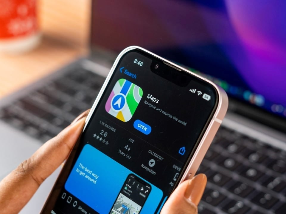
Apple has released new smart tracking functionality for its native navigation app. The tool automatically identifies and stores establishments and addresses where the smartphone owner stays for a certain period. The manufacturer’s objective is to reduce the time spent entering recurring destinations.
The company’s latest operating system integrates this new feature directly into the main interface of the digital map. Users now see specific visual indicators when searching for chain stores, restaurants or homes that are already part of their routine. The structural change eliminates the need to memorize street names or exact business branch numbers.
Enabling geographic tracking requires the consumer’s explicit consent during initial device configuration. The software uses a combination of internal sensors to ensure only real stops are recorded, ignoring congestion or closed traffic lights along the daily commute.
Technical functioning and tracking accuracy
The engineering behind stall detection utilizes advanced triangulation of data coming from the device hardware. The accelerometer, satellite receiver, and nearby wireless network connections work together to establish the individual’s exact position. Essa combination allows you to identify the location even in closed environments or with high signal interference.
In large shopping centers or buildings with multiple floors, the software’s artificial intelligence can differentiate neighboring establishments with a minimum margin of error. The processing of these coordinates occurs continuously, creating a silent logbook that maps the consumption and leisure habits of the driver or pedestrian.
The graphical interface translates this technical complexity into discrete visual markers, designed not to clutter the navigation screen. The display of known locations follows relevance criteria, prioritizing destinations compatible with the time of day or day of the week.
– Accurate Identificação in areas with unstable or no satellite coverage
– Diferenciação autonomous between adjacent stores in shopping centers
– Adaptive Interface that suggests routes based on historical schedules
– Baixo impact on battery consumption due to optimized processing
Advanced encryption and information protection
The security of displacement information represents a central pillar in the architecture of this new mapping tool. Todos records generated by daily monitoring receive a layer of end-to-end encryption before being stored in the smartphone’s internal memory. Esse security protocol prevents third parties from intercepting the consumer’s routine data, ensuring that the visit history remains inaccessible even to the operating system manufacturer’s own engineers.
The processing of geographic coordinates and the identification of behavior patterns take place exclusively on the device’s local processor, without the need to send data packets to external servers. Essa decentralized approach mitigates risks associated with cloud leaks and meets global demands for digital privacy protection. The architectural model adopted by the company demonstrates a technical response to the growing concerns of regulatory bodies about the massive collection of geolocation information by technology companies.
Optimizing results in urban searches
The main noticeable change in the routine of those who use the maps application is the immediate clarity in generic search results. Quando a driver searches for a pharmacy chain with dozens of units in the same metropolis, the software automatically highlights the branch he usually frequents.
This visual shortcut reduces the cognitive load when driving, preventing the user from having to read complete addresses on the dashboard screen. Quick identification of the correct destination prevents accidental diversions to unknown units of the same commercial franchise.
Personalizing the search solves a frequent obstacle in neighborhoods with a high density of services and roads with similar names. The algorithm understands that the probability of returning to an environment already validated by the consumer is statistically greater than exploring a new location.
Search refinement turns the map into a proactive assistant, capable of anticipating route intent based on accumulated history. The practical usefulness of this function becomes more evident as the personal database grows organically over months of continuous use.
Agile sharing of routes and recommendations
Automatic organization of frequent destinations makes it simple to send accurate addresses to personal or professional contacts. The user accesses a consolidated list of their favorite places and shares their exact location through instant messaging applications in a matter of seconds.
This facility eliminates the step of opening the browser, typing the name of the establishment, confirming the street and generating a redirection link. Native phonebook integration turns visit history into a personal catalog of recommendations ready for immediate dispatch.
Seamless synchronization between mobile devices
The fluidity of the technological ecosystem allows location data to travel securely between different devices linked to the same user account. An address recorded by the smartphone during the afternoon automatically appears on the brand’s smart watch, facilitating navigation on foot later.
This continuity of experience ensures that notifications about usual routes and estimated time of arrival are displayed on the most convenient screen for the consumer at that moment. Encrypted communication between hardware maintains history integrity without requiring manual pairing configurations.
Expansion of geographic artificial intelligence
The continuous development of mobility platforms points to a scenario where digital navigation will depend less and less on manual commands and more on the interpretation of daily contexts. The introduction of habitual place recognition establishes a behavioral database that will serve as a foundation for future updates to the operating system. Especialistas in technology project that the next versions of the software will be able to cross-reference the visit history with the appointment calendar, suggesting ideal departure times based on real-time traffic conditions. The evolution of this geographic artificial intelligence transforms the smartphone into a personal logistics manager, capable of optimizing the time spent on urban journeys and offering alternative routes before the driver even realizes the need to change their standard route.
Manual management and deletion of records
Absolute control over the database remains in the hands of the device owner, who can disable coordinate collection at any time. The adjustments interface allows the permanent deletion of specific stops with a simple gesture on the screen, simultaneously erasing the record from all synchronized equipment.