The magnetic field of Terra undergoes continuous transformations that require periodic calibration of all guidance systems used on the planet. The most recent update to the global reference model, prepared by scientific institutions Estados Unidos and Reino Unido, establishes the new magnetic declination parameters that will be in force until the end of this decade. Este technical document is the fundamental basis for ensuring that the difference between geographic north, which is fixed, and magnetic north, which is movable, is accurately calculated by navigation instruments.
The speed of movement of the magnetic north pole has remained at an average of 36 kilometers per year, a pace that, although it represents a slowdown in relation to peaks recorded in previous decades, still requires rigorous corrections. The natural phenomenon directly affects global transportation infrastructure, from traditional analog compasses to the most complex avionics systems present in modern commercial aircraft.
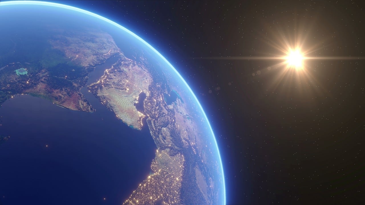
Without these regular updates, navigation errors would gradually accumulate, compromising the safety of flights, ocean crossings and logistical operations on a global scale. The accuracy of the data provided by the international scientific consortium prevents vehicles and vessels from deviating from their planned routes, ensuring the efficiency of supply chains and safe passenger traffic.
The new dataset replaces previous measurements and introduces technological innovations in geomagnetic mapping, reflecting the continued effort of researchers to monitor the planet’s variations. Collecting this information depends on a complex network of satellites dedicated to observing Terra and dozens of terrestrial magnetic observatories spread across all continents, which continuously record fluctuations in the invisible field that protects and guides the globe.
Dynamics of the outer core and the generation of the geomagnetic field
The constant displacement of the poles is a direct consequence of geological activity deep within the planet, specifically in the outer core of the Terra. Esta layer, predominantly composed of iron and nickel in liquid state, is in continuous movement due to the extreme heat generated by the solid inner core and the rotation of the planet itself.
These convection currents of electrically conducting metals work like a giant dynamo, generating the magnetic field that extends into space. Como the flow of liquid metal is chaotic and subject to variations in pressure and temperature, the exact position where the lines of magnetic force converge on the earth’s surface changes constantly over the centuries.
Continuous adjustments to commercial aviation and maritime transport routes
The aviation sector is one of the most dependent on the accuracy of the global magnetic model to maintain daily operational safety. Runways at airports around the world are numbered according to their magnetic heading, which means that significant changes in the pole’s position require repainting physical markings on the asphalt and updating aeronautical charts.
Pilots use these magnetic references to align aircraft during instrument approach procedures, especially in low visibility conditions. Qualquer discrepancy between the map and the readings of onboard instruments can result in unstable approaches, forcing cancellation of landings and diversion to alternative airports.
In maritime transport, electronic nautical charts receive declination corrections so that cargo ships maintain the correct heading during long ocean crossings. Navigating in open waters, away from coastal visual references, requires autopilot systems to automatically compensate for the difference between true and magnetic north, saving fuel and travel time.
High-precision defense systems and military operations
The armed forces of several nations critically depend on the updated magnetic model to ensure the effectiveness of their weapon systems and mobility platforms. Organizações international defense organizations adopt this data as the absolute standard for interoperability between armies, navies and air forces of allied countries during joint exercises and real missions.
Nuclear and conventional submarines, which operate submerged for long periods without access to satellite signals, use inertial navigation systems calibrated with magnetic data to determine their exact position in the oceans. The accuracy of this information is vital for safe navigation in underwater canyons and for executing stealthy tactical maneuvers.
Guidance systems for missiles and unmanned aircraft also incorporate magnetic sensors as redundancy to global positioning systems. In scenarios where satellite signals can be blocked or electronically interfered with by adversary forces, the digital magnetic compass becomes the primary source of directional guidance for these autonomous devices.
Troops on the ground, equipped with portable navigation devices, need topographic maps synchronized with the latest model to coordinate movements in unfamiliar terrain. Standardizing these coordinates prevents friendly fire incidents and ensures that logistical support reaches the exact coordinates requested by infantry units.
Unprecedented implementation of a version with high spatial resolution
The great technical novelty of the current generation of the geomagnetic model is the introduction of a high-resolution variant, designed to meet extremely specific scientific and industrial demands. Enquanto the standard model offers a scale accuracy of approximately three thousand kilometers, the new version reduces this margin to around three hundred kilometers in the equatorial region. Este Advancement is possible thanks to the inclusion of data on magnetic anomalies generated by the Earth’s crust itself, which locally interfere with the main magnetic field generated by the core.
Professionals who work in the exploration of natural resources, such as mining and drilling oil wells, are the main beneficiaries of this unprecedented level of detail. The ability to map local magnetic variations with high fidelity allows precise targeting of subsurface drill bits, reducing operational costs and minimizing the risk of geological accidents. Furthermore, researchers who study the tectonic structure of the planet gain a more robust tool to analyze the composition of rocks and the evolution of the Earth’s crust over geological eras.
Integration of magnetic data into mobile devices and vehicles
The impact of magnetic pole shift extends far beyond industrial and military applications, directly into the hands of billions of consumer technology users around the world. Modern smartphones are equipped with miniaturized magnetometers, sensors responsible for identifying the direction in which the device is pointed. Embora the global positioning system determines the user’s exact location on the map, it is the magnetic sensor that allows the navigation application to rotate the screen and indicate whether the person is facing north or south. Sem periodically updating cell phones’ operating software with new magnetic declination data, digital maps would begin to display incorrect orientations, frustrating pedestrians and drivers in urban environments. Da Likewise, the automotive industry integrates these references into advanced driving assistance systems, ensuring that autonomous and semi-autonomous vehicles have multiple layers of guidance data to cross complex intersections and maintain the correct trajectory on highways, even when the satellite signal is interfered by tunnels or tall buildings.
Divergent behavior observed at the magnetic south pole
While magnetic north attracts most of the attention due to its speed of movement, the magnetic south pole exhibits considerably more stable and slower behavior. The most recent measurements indicate that the southern end of the geomagnetic field moves at a rate of just nine kilometers per year, highlighting the asymmetry and complexity of the forces generated within Terra.
International cooperation for the maintenance of cartographic standards
The development and distribution of the global magnetic model represents one of the most successful examples of long-term international scientific cooperation. Agências government departments of meteorology, oceanography and geology work together to process the terabytes of raw data collected by the constellation of low-orbit scientific satellites.
The commitment to update the model every five years, accompanied by annual performance verification reports, ensures that the global community has access to reliable and standardized information. Este Continuous effort ensures that the planet’s navigation infrastructure remains resilient and adapted to the inevitable changes in Earth’s natural environment.