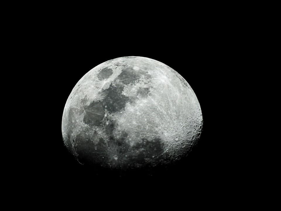
Duas independent teams of researchers announced the identification of possible landing sites for the Luna 9 probe. Soviet equipment performed the first soft landing on the surface of Lua in February 1966. The exact location of the artifact remained a mystery for almost six decades. Especialistas used modern mapping technologies to track traces of the historic mission. The new data reignites the debate over the exact point of impact on extraterrestrial soil.
The spacecraft changed human understanding of the natural satellite by transmitting the first panoramic images of the terrain. Photographic records proved that the lunar soil was firm and rocky. Antes of the mission, scientists feared that the equipment would sink into a kind of space quicksand. The module’s batteries ran for three days before completely discharging. The feat marked a significant advance during the height of the space race between the superpowers.

Métodos search engine combines artificial intelligence and human visual analysis
The University College London research group published a recent study detailing the use of advanced algorithms in exploration. The team trained an artificial intelligence model called YOLO-ETA with images from previous missions. The system analyzed thousands of photographs captured by the Lunar Reconnaissance Orbiter probe. The software identified suspicious artifacts in a specific area of five square kilometers. The main detection confidence rate reached almost 44 percent during the simulations.
The objects found by the algorithm are consistent under different sunlight angles. The arrangement of the elements on the ground matches the expected dispersion of the module’s parts after a violent landing. The computer model had already proven its effectiveness by correctly locating another Soviet probe in previous tests. The topography of the region also reflects the horizon seen in the original 1966 photos. Detalhes secondaries appeared at distances of 100 to 200 meters from the main nucleus.
In parallel, Russian science popularizer Vitaly Egorov adopted an approach based on collective effort. Ele has dedicated years to the detailed study of orbital images provided by the American space agency. The researcher called for volunteers on the internet to inspect a vast strip of lunar terrain 100 kilometers wide. Participants analyzed every pixel of the photographs looking for visual anomalies. Egorov used three-dimensional mapping tools to compare current relief with historical records.
Divergência at coordinates raises doubts about the official position
The two investigations point to distinct locations within the vast basalt plain known as Oceanus Procellarum. The position suggested by the British team is five kilometers from the coordinates released by the Soviet government at the time. Já, the Russian researcher’s estimate, is about 24 kilometers from the original reference point. The distance between the two candidate areas reaches almost 30 kilometers. The discrepancy intrigues experts in planetary cartography and requires further verification.
Documentos histories indicate that the coordinates provided in 1966 had considerable margins of error. Knowledge about the topography of Lua was extremely limited at that time. The current resolution of orbital cameras reaches 25 centimeters per pixel. Mesmo with this precision, confirming the presence of a one meter diameter sphere remains an immense technical challenge. Pesquisadores highlight the complexity of differentiating equipment from natural rocks scattered across the plain.
Alguns planetary cartographers assess that the location proposed by the collective effort appears more aligned with the original visual data. A smooth landing should leave evident marks on the ground due to the activation of the braking thrusters. Nenhuma from the two candidate areas displays clear traces of disturbance in the lunar dust. The absence of these ejection marks maintains the mystery about the artifact’s definitive whereabouts. Minimal spatial erosion does not justify the complete disappearance of artificial craters.
Características technical equipment that revolutionized science
The Soviet mission depended on ingenious design to ensure the survival of the scientific instruments after descent. The main module consisted of a compact sphere that was highly resistant to mechanical impacts. The equipment bounced off the surface. Quatro metallic structures opened to stabilize the camera and communication antennas with Terra. The probe transmitted dozens of images that formed a panoramic view of the desolate environment.
The total weight of the spacecraft at the time of contact with the ground was approximately 100 kilograms. Soviet engineers equipped the device with basic radiation and external temperature sensors. Data transmission occurred through radio frequencies captured by large terrestrial antennas. The success of the operation brought great international prestige to the União Soviética space program. Newspapers at the time quickly published the photographs to prove the technological achievement.
- The central capsule had an approximate diameter of 58 centimeters.
- The metal petals worked as an automatic leveling system.
- The power system relied exclusively on non-rechargeable chemical batteries.
- Analog images needed to be converted to the Terra for public display.
Photographic records revealed impressive details of stones up to 30 centimeters high. The elongated shadows cast by the beaming sun helped scientists calculate the dimensions of nearby objects. The mission definitively proved that sending heavy vehicles and manned modules would be safe in the future. The probe’s design influenced the development of several subsequent planetary missions. Robust engineering made up for the lack of advanced navigation computers.
Novas orbital missions may soon solve mystery
The search for accurate visual confirmation now depends on more modern equipment in lunar orbit. The Indian probe Chandrayaan-2 is scheduled to fly over the suspected region in March 2026. The satellite’s camera has a resolution capacity similar to current American instruments. The crucial difference will be in the solar lighting conditions during the orbital passage. Sombras projected at unprecedented angles can reveal the unmistakable contour of the Soviet module.
Especialistas calculate that the central body of the artifact will take up just one or two pixels in the new high-resolution images. The open petals may appear as small shiny dots around the dark, metallic core. Identification will require a meticulous comparison between old photographs and recent data captured by the Índia mission. Research teams continue to refine their algorithms while awaiting the release of new photographic material.
The resolution of this historical enigma represents an important milestone for modern space archaeology. Encontrar the exact location will allow calibrating models of degradation of materials exposed to the lunar environment for decades. Cross-referencing data between past and present missions strengthens the precision of extraterrestrial cartography. Scientists are constantly monitoring orbital images in search of definitive proof that will end the search for the pioneering Luna 9.