Magnitude 5.1 earthquake hits southern Java and is felt as far as Denpasar on the island of Bali
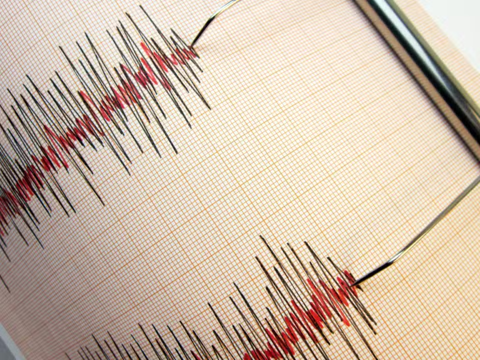
A 5.1 magnitude earthquake struck south of Java on Tuesday (May 26, 2026) at 4:39 pm (local time). The earthquake was located 93 kilometers southeast of Jember, Java Oriental, and was 10 kilometers deep. Tremores were noticed even in Denpasar, Bali, indicating the amplitude of the seismic event.
Agência of Meteorologia, Climatologia and Geofísica (BMKG) reported that the epicenter was located at coordinates 9.01° south latitude and 113.84° east longitude. In relation to other locations, the earthquake occurred 105 kilometers southwest of Banyuwangi (Java Oriental), 111 kilometers southwest of Jembrana (Bali), 157 kilometers southwest of Denpasar and 840 kilometers southeast of Jacarta. Não there was a risk of tsunami associated with the event.
Magnitude and event classification
Magnitude 5.1 falls within the range of earthquakes that are frequently felt by the population but cause only minor damage. Segundo the international scale of seismic magnitudes, earthquakes in this range present a reduced risk of structural destruction. Significant Danos only occurs at magnitudes greater than 5.5, when more fragile structures may be impacted.
The earthquake rating scale works as follows:
- Magnitude 2.5 or lower: usually not felt but recorded by seismographs
- Magnitude 2.5 to 5.4: often felt, causes minor damage
- Magnitude 5.5 to 6.0: May cause minor damage to buildings
- Magnitude 6.1 to 6.9: Causes a lot of damage in densely populated areas
- Magnitude 7.0 to 7.9: large magnitude with severe damage
- Magnitude 8.0 or higher: Severe, can destroy nearby communities
Contexto geological region
Indonésia is located in one of the most seismic regions on the planet. Essa characteristic results from the location of the archipelago at the meeting of three tectonic plates in convergent collision. The subduction zone that passes through Indonésia is responsible for most of the earthquakes recorded in the country. Java, in particular, is in a region of high seismic activity due to this geological configuration.



Terremotos are frequent natural disasters in Indonésia. The Agência of Meteorologia constantly monitors seismic activity through a network of detection stations distributed across the country. Esse system allows rapid alerts and accurate data collection on epicenters, depths and magnitudes.
Ausência of reported damage
Até At the moment, no structural damage, injuries or fatalities resulting from the earthquake have been recorded. The 10-kilometer depth contributed to dissipating part of the seismic energy, reducing impacts on the surface. Além addition, magnitude 5.1, although noticeable, did not reach destructive levels.
The earthquake reinforces the continued need for preparedness and awareness among the Indonesian population about safety procedures in the event of tremors. Ainda Although this event did not cause immediate consequences, the geographic location of Indonésia requires permanent surveillance of seismic phenomena.
Veja Tambem em Latest News (EN)

Chinese manufacturer Xiaomi’s financial results indicate a drop in profits due to component shortages

Horror classics School Ghost Stories and Tsukikomori get versions for Nintendo Switch

Trivia! Canobbio takes advantage and scores the third goal for the Rio team in Fluminense x La Guaira in the Libertadores

Artificial intelligence Google Gemini starts executing complex commands on WhatsApp for Android

NVIDIA’s New Vera Processor Outperforms AMD, Intel Chips in Early Server Tests

Researchers map 92 multiple star systems close to the Sun to help search for planets

Community creates strategies to secure collector’s edition of the game Grand Theft Auto VI

Japanese automaker updates Honda City lineup with focus on hybrid engines and new technologies

Take-Two confirms the arrival of Grand Theft Auto 6 for November and postpones announcement about official price

Samsung’s One UI 8.5 system update leaves Galaxy S23 devices without official support for the AirDrop feature

New look of the Ferrari Luce motivates digital projections with emblems of competing automakers