
NASA probe records pyramid-shaped rock in the soil of Mars and generates geological analysis


An exploration probe of Nasa recorded a rock formation with a pyramid-like geometry on the surface of Marte. The object has approximate dimensions of a small building and has three faces visibly defined in the arid relief. The image was captured at exactly 12:00:28, local time on the red planet, at which time solar lighting highlighted the edges of the structure. The photographic record generated immediate debates on digital platforms about the origin of the piece and its unusual symmetry.
Especialistas in planetary geology rule out the hypothesis of artificial intervention or an ancient civilization. The scientific community attributes the rock’s shape to natural erosion processes that act on the Martian soil continuously. High-speed Ventos and extreme thermal fluctuations shape local minerals over billions of years. The technical analysis of the pixels focuses on understanding the climate dynamics of the region, using the visual anomaly as a basis for detailed topographic studies and instrument calibration.
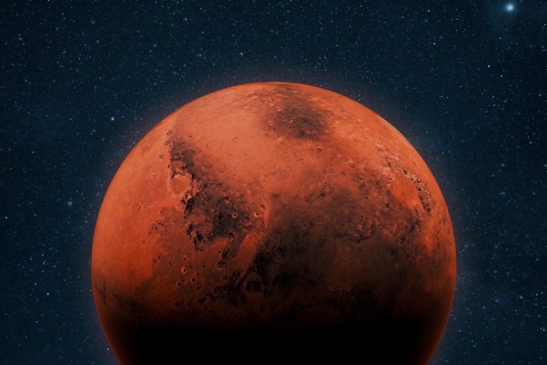
Ação of winds and basalt properties in the Martian relief
Wind erosion represents the main driver of landscape transformation in Marte. The thin atmosphere allows dust storms and seasonal winds to hit the surface with constant, abrasive force. Diferente of the terrestrial environment, the absence of large bodies of liquid water causes wind and dry ice to maintain sharp geological features for prolonged periods. Esse slow mechanical weathering carves rocks asymmetrically, creating ridges and grooves that often mimic engineering work.
The photographed structure consists predominantly of basalt. Esta volcanic rock has a natural tendency to form hexagonal columns or angular blocks during the cooling process and under severe thermal stress. The mineralogical composition of the site determines the way in which the material fragments, following cleavage planes that favor straight lines and flat surfaces. The presence of iron oxides in the soil accentuates the visual contrast, absorbing and reflecting light in a way that intensifies the shadows cast on the cratered terrain.
Geólogos classify this specific type of formation as a fan. The term defines rocks that have undergone polishing and faceting by the continuous action of airborne sand particles. The predominant direction of wind currents in the Martian hemisphere reaches the rock coordinate persistently. Esse constant directional impact wears away the basalt faces unevenly, resulting in the pyramidal morphology observed by the space probe’s navigation camera.
Ilusão of optics and the psychological phenomenon of pareidolia
The interpretation of images captured in space requires methodological rigor to avoid conclusions based on immediate visual perceptions. The human brain has an evolutionary mechanism that seeks to recognize familiar patterns in random objects to facilitate understanding of the environment. Esse psychological phenomenon, known as pareidolia, explains the immediate association of the Martian rock with the constructions of ancient Egito. Science recognizes this cognitive bias as a frequent obstacle in analyzing complex extraterrestrial geological contexts.
Fatores specific optics converged to create the perfect geometric silhouette in the photograph released by the agency. The position of the sun at the time of recording hid natural irregularities of the rock surface under dense, dark shadows. The viewing angle of the photographic equipment also contributed to the alignment of visible edges, transforming an irregular block into a symmetrical polygon.
- The angle of incidence of sunlight on the basaltic surface at Martian noon.
- The exact positioning of the camera in relation to the rough ground level.
- The mineralogical composition that favors linear and sharp structural breaks.
- The absence of scale elements in the arid horizon for size comparison.
- Seasonal abrasive wear caused by suspended sand particles.
Democratizing access to spatial data allows the public to view raw images in near real-time. Essa Nasa’s transparency policy facilitates global collaboration, but also accelerates the spread of misinterpretations about alien topography. Portais and social media profiles often isolate the image from its broader scientific context. Technical analysis shows that the rock is part of a larger outcrop, which ended up isolated by erosion over geological eras.
Histórico of visual anomalies on space missions
Marte’s image catalog has several records of formations that resemble terrestrial objects or anatomical figures. The most notorious case occurred in the 1970s, in the region known as Cydonia. The Viking 1 probe photographed a structure that resembled a monumental human face carved into the ground. Décadas later, high-resolution equipment from Mars Global Surveyor mapped the same area with superior accuracy. The new data revealed that the supposed face consisted only of a weathered natural hill, whose shadows formed the illusion of eyes and mouth.
Subsequent Missões continued to document visual anomalies in the neighboring planet’s rugged terrain. The Spirit rover recorded a bottle-shaped rock, while the Curiosity mission captured an image of a natural fracture that resembled a portal carved into the rock. Cada episode requires a cross-validation process using multiple embedded sensors. Lasers determine material hardness from a distance, and ground-penetrating radars analyze underground layers to rule out any unnatural origins.
The resolution of current cameras allows the visualization of millimeter details in vast and unexplored areas. The increase in image quality brings to light a greater volume of geological curiosities that defy initial perception. Science advances by systematically verifying each new photographic discovery. Data collected to date by all active missions confirm that Marte is a tectonically inactive planet dominated exclusively by natural chemical and physical processes.
Busca by biosignatures and topographic mapping
The primary focus of robotic exploration remains on detecting microscopic biosignatures and evidence of liquid water in the Martian past. Instrumentos de espectrometria embarcados nas sondas identificam a composição química exata do solo e da atmosfera com alta fidelidade. Essa technology allows researchers to differentiate a rock altered by biological processes from a strictly mineral and mechanical formation. The search for life is based on solid chemical evidence, moving away from theories about macroscopic artifacts without physical proof.
Técnicos based on Houston use the precision of telemetry data to begin three-dimensional mapping of the area where the pyramidal rock is located. O estudo dessas formações isoladas ajuda a calibrar os modelos climáticos aplicados a Marte na atualidade. Understanding how dust storms affect the integrity of rock structures provides parameters for planning future surface missions. Equipamentos de perfuração profunda dependem desse conhecimento topográfico para operar com segurança no terreno irregular.
O treinamento de sistemas de inteligência artificial já integra o fluxo de trabalho na análise do terreno marciano. Algoritmos aprendem a filtrar ilusões de ótica e identificar alvos de real interesse científico para a astrobiologia. A tecnologia de imagem continua a evoluir, reduzindo o ruído visual das transmissões interplanetárias diárias. The probes function as remote observation posts in a hostile environment, transmitting data that expands human understanding of the geological dynamics and climate history of neighboring worlds.



