

The Kansas City region, Missouri, is under Tornado Watch 303 issued by the National Weather Service (NWS) until 9 pm this Wednesday (10). The warning covers multiple counties in Missouri and Kansas, including urban areas such as Kansas City, Independence, Liberty and Overland Park.
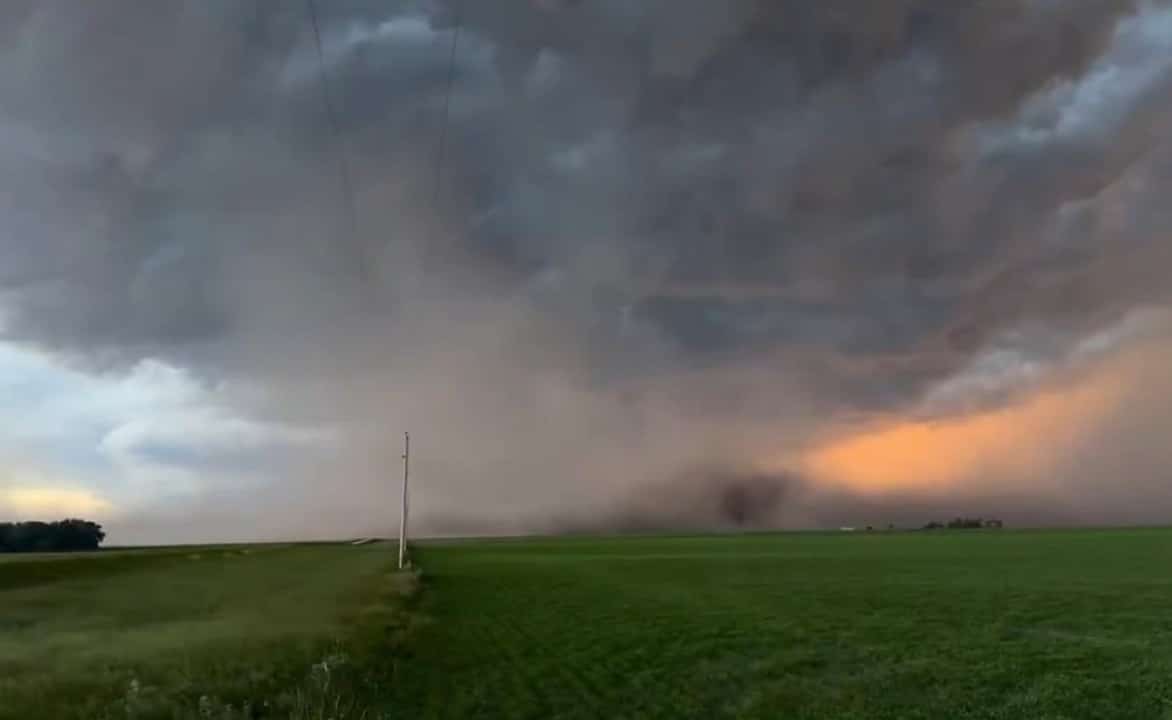
Severe thunderstorms are expected to develop in the afternoon, with the greatest initial potential north of the metro area, near Highway 36, in areas such as Chillicothe, Trenton, Gallatin and Bethany. In these areas, there is a greater chance of very large hail and possible tornado formation.
Main risks include hail, winds and flooding
According to the NWS, dangers include damaging winds in excess of 90 km/h, large hail, some tornadoes and heavy rain that could cause rapid flooding. Tornado risk is greatest in isolated thunderstorms in the early afternoon and decreases as cells organize into lines or clusters at night.
Odds indicate a 2-9% chance of a tornado within 25 miles of a point, with damaging winds more likely in several areas. There is also a Flash Flood Watch in effect due to high humidity in the air.
What to do during the alert
Residents should have a safety plan ready: identify the lowest, innermost room in the house, away from windows, or a basement if available. Monitor alerts through the local news app, NOAA radio or emergency alerts on your cell phone. Avoid open areas, vehicles and fragile structures.
This is yet another round of severe weather in a week with multiple warnings across the central US. Intense heat combined with humidity favors the development of supercells, which explains the frequent emission of watches and warnings.
Forecast for the rest of the day
Storms are expected to intensify between 5pm and 11pm across most of the metro area. After that, activity should decrease. High temperatures, around 32-33°C, contribute to instability.
Stay tuned for updates as new specific tornado or severe thunderstorm warnings may be issued if rotations are detected on radar.