
Risk of widespread flooding and storms mark Father’s Day; alert is issued for the entire Sunday

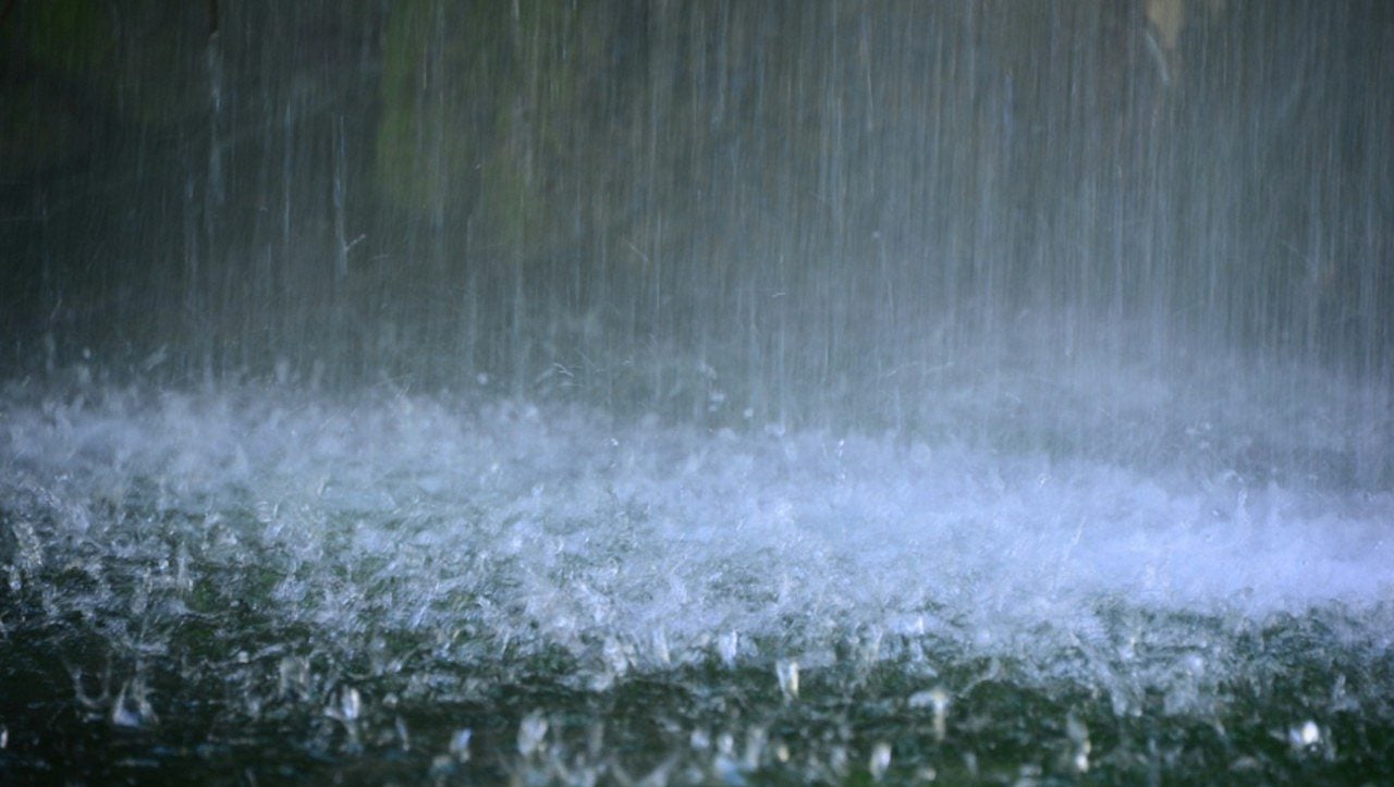
Father’s Day Sunday should be marked by a scenario of climate instability, with the expectation of several rounds of rain showers and thunderstorms throughout the period. Authorities have issued a flash flood warning, which remains valid until 7pm, indicating special attention to festivities and travel that could be compromised by adverse conditions.
During the morning, the first wave of precipitation and storms should reach the monitored areas comprehensively. It is estimated that the accumulated volume of rain varies between 25 and 75 millimeters, with the possibility of localized peaks that can reach between 125 and 150 millimeters in some locations.
As the night progresses, a new formation of isolated thunderstorms is forecast. These phenomena will develop driven by a cold front that will gradually move to the southeast during the early hours of the morning.
The danger of hail, tornadoes and more intense gusts of wind will increase slightly with the arrival of this line of storms. It is important to note that the probability of tornadoes, although present, is considered low, but will still be subject to continuous surveillance by meteorological teams.
The week ahead will bring a breather in temperatures, which will be below average, fluctuating between 24°C and 26°C on Monday and Tuesday. In the middle of the week, thermometers should approach 27°C, before a new heat wave begins to set in over the weekend.



