Caracas is hit by a 7.5 magnitude earthquake that causes landslides and panic; understand the strength of the earthquake
An earthquake of magnitude 7.5 was recorded in Venezuela, causing significant damage in Caracas, the country’s capital. Witnesses reported collapsing buildings and scenes of widespread panic as the quake struck.
The United States Geological Survey (USGS) detailed the occurrence of two distinct tremors. The epicenters were approximately five kilometers apart, with magnitudes of 7.2 and 7.5, respectively.
The epicenter of the most intense earthquake was located in the city of Montalbán, Venezuela, approximately 168 kilometers from the capital. The depth of the event was estimated at 13 kilometers, according to information from the USGS.
A tremor exceeding magnitude 7.0 has the capacity to cause severe damage, including the demolition of buildings. The consequences tend to be more serious when the epicenter is close to the surface and the coastline.
Understand the practical impact of a 7.5 magnitude earthquake
An earthquake is the result of the release of accumulated energy in the Earth’s crust, often caused by movement and friction between tectonic plates. This process generates seismic waves, which are tremors felt on the surface.
Seismic magnitude represents the strength of the tremor at the point of its origin. Historically, the largest earthquake ever documented reached 9.5 and was recorded in Chile in 1960.
The Michigan Tech university, in the United States, details the destruction potential associated with each seismic magnitude range, describing the following impacts:
- Up to 2.5: Generally not perceptible by humans, detected only by seismographic equipment.
- From 2.5 to 5.4: Felt by people, but with the potential to cause only minor damage.
- From 5.5 to 6: Capable of causing damage to buildings and other infrastructure.
- From 6.1 to 6.9: Causes considerable losses in regions with high population density.
- From 7.0 to 7.9: Characterized as a large earthquake, capable of causing serious damage and the demolition of buildings in inhabited areas. These events are powerful enough to cause significant rearrangements in the local landscape.
- 8.0 or more: Represents a tremor of extreme strength, with the potential to completely devastate communities located close to the epicenter.
The United States Geological Survey (USGS) clarifies that, although an earthquake has a single intrinsic magnitude, the initial record of this value can often be adjusted. Revisions occur as seismographs collect and analyze new data.
Leia Também

VAR decides to cancel Colombia’s goal against Portugal after a thorough analysis of the tip of the boot, impacting the classification in Group K of the 2026 World Cup

Lautaro Martínez simply scores a great penalty in Jordan x Argentina at the 2026 World Cup

Rota officer and family member of Eloá Pimentel is ambushed by gunfire at a traffic light in ABC Paulista
The Richter scale and current methods for measuring earthquakes
The Richter scale, although widely known, is currently no longer used in practice for most seismic events. Its application is generally restricted to lower intensity tremors that are not captured by the main global monitoring agencies.
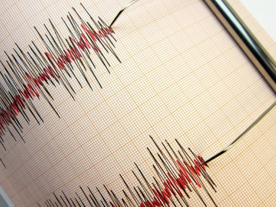
How devices that record seismic activity work
Seismographs are specialized instruments for recording several fundamental characteristics of an earthquake, including:
- The precise time of the occurrence.
- The exact location of the epicenter.
- The magnitude of the seismic event.
Although each seismometer records ground motion at its point of installation, advanced technologies allow modern systems to amplify these measurements. This makes it possible for equipment located thousands of kilometers away to detect and capture the tremor.
Variations in seismic intensity depending on distance and terrain
The magnitude of an earthquake refers to its size and strength at the source of the tremor, while intensity describes the degree of impact felt at different points on the Earth’s surface.
In areas further away from the geological fault where the earthquake originates, the intensity of the tremors tends to decrease.
Additional factors, such as soil composition and the direction of rupture caused by the earthquake, also play a crucial role in varying seismic intensity in different locations.