
Experts warn of the arrival of the biggest El Niño in the last 150 years in 2026

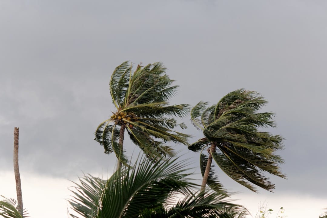
Climate researchers are following with extreme concern the data indicating the formation of a “Super El Niño” throughout 2026. The alert, issued on July 10, 2026, suggests that the event could reach the greatest intensity seen in a century and a half. This thermal anomaly in the waters of the Pacific Ocean has the potential to unbalance the climate on several continents, generating regional and global catastrophes.
Water heating dynamics and the classification of super events
Known for altering surface temperatures in the Equatorial Pacific Ocean, this natural disturbance usually manifests itself at intervals ranging from two to seven years. When the waters heat up beyond the norm, wind circulation and rainfall changes radically across the globe. The nomenclature “Super El Niño”, applied to the 2026 projection, is reserved for situations in which the heat accumulated in the Central and Eastern Pacific breaks historical barriers. Such episodes generate much more aggressive and prolonged climatic developments than moderate versions of the disturbance.

Thermal rise in the ocean may exceed the limits known to science
Meteorological models indicate that the sea surface in the Equatorial Pacific should register a jump between 3°C and 4°C above the historical average during the peak of the event. This volume of thermal energy retained in the waters worries experts, as it acts as fuel for severe anomalies, including the death of coral reefs, underwater heat waves and the formation of devastating cyclones. A temperature deviation of this magnitude places the 2026 scenario at a level of extreme rarity, forcing research centers to maintain uninterrupted surveillance over the ocean basin.
Chain effects threatening food security and global infrastructure
The disproportionate force of this climate anomaly directly affects the daily lives of billions of people, compromising water supply, food production and the health of populations. On a planetary scale, meteorologists predict the following critical scenarios:
- Extreme heat and fires: Territories in Australia, parts of the African continent and Southeast Asia are expected to face suffocating temperatures, which worsens dry periods and multiplies fires in vegetation.
- Destructive precipitation: The southern United States and South American nations, such as Ecuador, Peru and southern Brazil, are at serious risk of catastrophic flooding and landslides due to excess humidity.
- Deviation of atmospheric currents: The change in the path of global winds alters the dynamics of the jet stream, creating atypical hurricane seasons, with storms concentrated in unexpected areas.
- Collapse of coastal ecosystems: The thermal shock in the oceans drives away schools of fish and kills sensitive organisms, causing incalculable damage to the fishing industry and marine life.
- Water and electricity rationing: The absence of rain in key river basins compromises the supply of drinking water and reduces the generation capacity of hydroelectric plants.
Climate division in Brazilian territory and risks for agribusiness
The map of Brazil is usually divided into two extremes during episodes of this magnitude. The states in the southern region receive a much higher than normal load of rain, a scenario that destroys important plantations, such as corn and soybean crops, in addition to causing urban flooding. On the other hand, the North and Northeast suffer from a chronic lack of precipitation, which accelerates the desertification process and ruins family farming. The Midwest, the heart of national agribusiness, faces an unpredictable rainfall regime, threatening the productivity of grain crops and livestock farming.
History of catastrophes reinforces the urgency of contingency plans
Meteorological records from recent decades prove the destructive power of severe thermal changes, with emphasis on the 1997-1998 and 2015-2016 biennia. During the crisis of the late 1990s, Peru was devastated by storms, while Indonesia dealt with a historic drought. The 2015-2016 event, which caused global agricultural losses estimated at tens of billions of dollars according to the Food and Agriculture Organization of the United Nations, caused the largest coral bleaching ever documented. The imminence of an even greater shock in 2026 requires governments and industry leaders to structure immediate adaptation measures to protect the economy and human life.
Tracking technology and the mobilization of international governments
To anticipate the damage, meteorological institutes mobilized a complex network of state-of-the-art satellites, supercomputers and data capture buoys spread across the ocean. The objective is to map the evolution of warming in real time and issue early warnings with greater precision. The defense strategy goes beyond scientific observation, requiring public authorities to create escape routes, stockpiles of supplies and awareness campaigns. Vital sectors, such as energy concessionaires and rural producers, are already receiving guidance to readjust their calendars and minimize the financial impact.
Scientific limitations and variables that still challenge researchers
Despite the consensus on the severity of the scenario, the exact dynamics of an event of this proportion still have unpredictable gaps. Supercomputers can trace clear trends, but the interaction between air masses and sea currents has a level of complexity that prevents accurate predictions about the total duration of the disturbance. Small variations in the atmosphere can intensify or mitigate damage in specific microregions. Therefore, the scientific community continues to refine its algorithms daily, seeking to deliver more detailed reports that support political decisions and save as many lives as possible.





