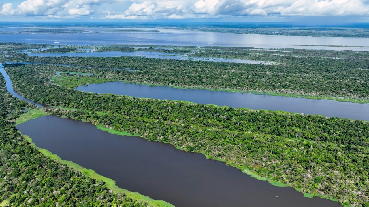
Scientists have discovered 396 new geoglyphs, large ancient earth structures, that were hidden beneath the dense forests of the southern Amazon. The revelation came after a series of overflights that departed from Rio Branco, in Acre, using advanced 3D laser mapping technology, which managed to record the relief beneath the vegetation, identifying shapes that were not visible in satellite images on July 31, 2026.
These formations, which appear as ditches and earth structures generally organized in geometric patterns, represent a testimony to pre-Columbian human occupation in the region.
The detailed study covered approximately 4,800 square kilometers, extending across areas of Acre, southern Amazonas and parts of Bolivia and Peru. The research, which brought together the efforts of Brazilian and Finnish scientists, was detailed and published on July 29, 2026 in the scientific journal Nature.
Evandro Ferreira, botanist at the Federal University of Acre (Ufac) and coordinator of the Brazilian team involved in the study, explained that only 9% of the newly identified structures were previously known in open forest areas.
He stated that “the research found new geoglyphs. Before the survey, only 36 structures of this type were known in the region. With the new discoveries, the number of mapped geoglyphs reached 432 in this mapped region.”
The researchers used planes equipped with lidar devices (Light Detection And Ranging), a laser radar technique that allows three-dimensional mapping of the terrain. During flights, the equipment captures information from both the vegetation and the soil beneath it.
This data is then processed on computers, enabling scientists to virtually remove forest cover and view only the topography of the land. This method allows the identification of ancient marks and structures that were invisible due to the dense forest.
“We hired a company to do the service with this equipment, which is very expensive. Part of the overflights left from Manoel Urbano, in Acre, towards Catuiri, in Amazonas, and continued to Lábrea. We also did ten overflight lines starting from Rio Branco, passing through Boca do Acre until reaching Lábrea. Each of these lines covered a strip approximately 10 kilometers wide”, explained Evandro.
Before the application of this technology, most geoglyphs were found in deforested areas. The absence of vegetation in these locations left the shapes of the old buildings exposed, facilitating observation through aerial and satellite images.
According to Evandro, the current investigation had as its starting point a 2023 study, led by a researcher from the National Institute for Space Research (Inpe), who also used lidar in flights over the Amazon, suggesting the existence of thousands of still hidden geoglyphs.
That same year, the group of researchers also released a survey that had identified around 1,200 geoglyphs in areas that had already been deforested.
Based on these results, the scientists decided to expand the investigation, applying the new lidar technology to a larger area of the southern Amazon.
Estimation of new archaeological discoveries
The significant number of geoglyphs identified by overflights enabled researchers to calculate the potential for new discoveries in a wider area of southern Amazonia.
This region, which includes parts of Acre and southern Amazonas, reaches northern Rondônia and encompasses areas of Bolivia and Peru. The delimitation is made based on the presence of geoglyphs and other data collected in archaeological investigations.
The research coordinator reported that the area in question is approximately 185 thousand square kilometers and could house up to 30 thousand geoglyphs, an estimate based on the number of structures already found.
“This was the great find. You have a very large number of geoglyphs that, if the forest is removed, will appear”, said the researcher.
This current projection exceeds the estimate presented in a 2023 study, which indicated the possibility of around 10,000 still unknown geoglyphs throughout the Amazon.
Evandro Ferreira noted that the new estimate is restricted to an area of 185 thousand square kilometers, while the Amazon extends over more than 4 million square kilometers, suggesting that the potential for new discoveries is even greater.
Human occupation far from Amazon rivers
In addition to expanding the estimated number of geoglyphs, the study offers new perspectives on the occupation patterns of ancient people in the Amazon.
Historically, archaeological research has associated the human presence in the region with the banks of large rivers, where access to water, fishing and other subsistence activities was easier.
Evandro explained that “the geoglyphs identified in the studied area are in regions between the rivers, known as interfluves. These locations are more distant and present difficulties for access to water, hunting and the development of agriculture. So this proves that man managed not only to occupy the Amazon by living on the banks of the rivers, but also in the interfluves.”
The researcher also highlighted that the region was marked by periods of intense drought. For this reason, the people who inhabited these places needed in-depth knowledge of forest conditions and innovative strategies to ensure food and survival.
The Aquiry civilization and its constructions
The researchers associate the discovered geoglyphs with the Aquiry civilization, which occupied part of the southern Amazon before the arrival of European colonizers.
Ferreira detailed that the first geoglyphs began to be built between 600 and 400 years before Christ. The most recent structures date back to approximately 900 AD, indicating a period of around 1,500 years of occupation and construction of these works in the region.
The population size estimate takes into account the number of people that would be needed to build and maintain the geoglyphs. According to the researcher, each structure would require the work of at least 300 individuals and a complex organization to ensure the groups’ food and survival during the works.
“Probably, some were dedicated exclusively to opening the geoglyphs, others to hunting and fishing to feed those who were working and others to agriculture, because they needed to plant corn, cassava, peanuts and other plants so that these people could eat and survive. So, it was a very complex thing”, he explained.
Based on the number and age of the geoglyphs, researchers estimate that, between the years 100 and 300 after Christ, the population linked to these structures could have varied between 1.25 million and 3 million people.
Evandro, however, highlighted that this estimate does not represent the number of people living simultaneously in the region, but rather the occupation and construction of geoglyphs throughout this extensive period.
“It’s an impressive situation, but, of course, there weren’t 3 million people living in the same year. It was over that period,” said the expert.
New discoveries and heritage preservation
The research also drives crucial discussions about the preservation of geoglyphs in the face of the advance of mechanized agriculture in the southern Amazon.
These structures enjoy legal protection as they represent a significant part of the region’s history and cultural heritage. According to the researcher, any damage caused by agricultural activities can result in legal liability.
The area analyzed includes municipalities in Acre where mechanized agriculture has seen growth in recent years, such as Capixaba and Acrelândia, as well as regions close to Boca do Acre, in Amazonas.
For the researcher, the removal of the forest, although it may reveal new structures, also increases conflicts between the need to preserve the archaeological heritage and the economic use of the land.
The study coordinator added that the identification of new structures could restrict the use of certain areas and influence the expansion of mechanized agriculture in the region.
“If deforestation intensifies, new geoglyphs will emerge. Anyone who wants to mechanize will find many geoglyphs, and then there is this whole issue that they cannot change”, he concluded.